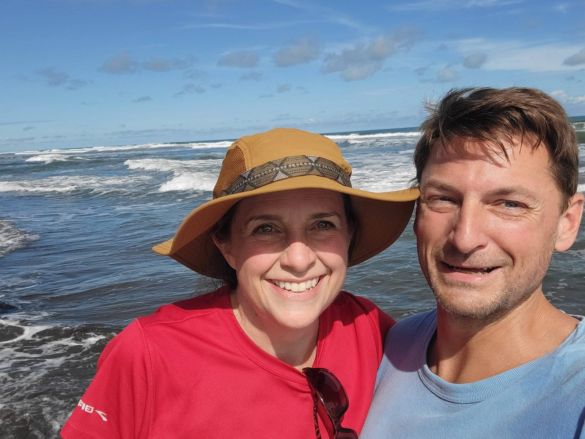
We had planned to be in Ecuador in Summer of 2024 while DJ participated in Amigos International. However, the security situation became very bad that spring and we were forced to shift to either Panama, which we did last year, or Costa Rica. Needless to say, Costa Rica got the vote and we had an amazing time on the Camino de Costa Rica.
We aren’t at all interested in the traditional resort experience, nor are we fans of the manufactured nature experiences (e.g. ziplines) so we were looking for other things to do. It did appear we could rent a car and piece together hiking and exploration on our own terms, but then we stumbled across El Camino de Costa Rica.
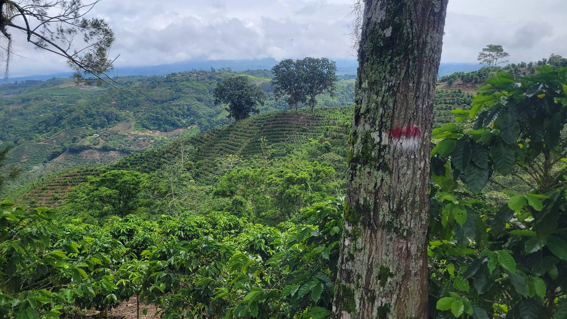
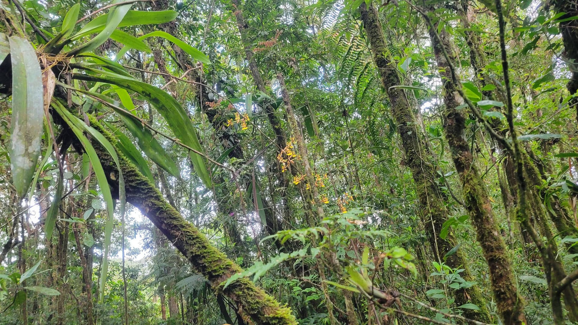
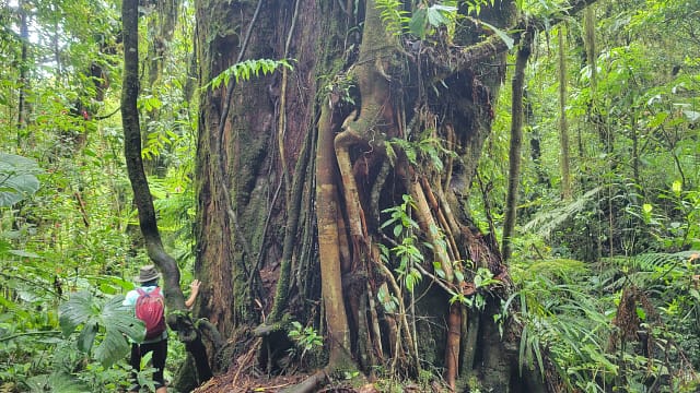
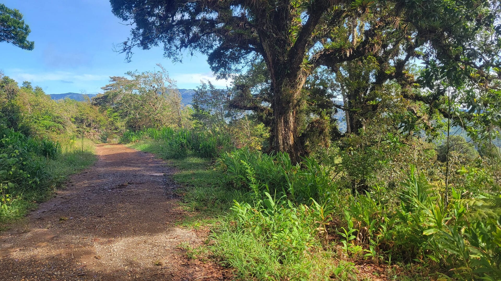
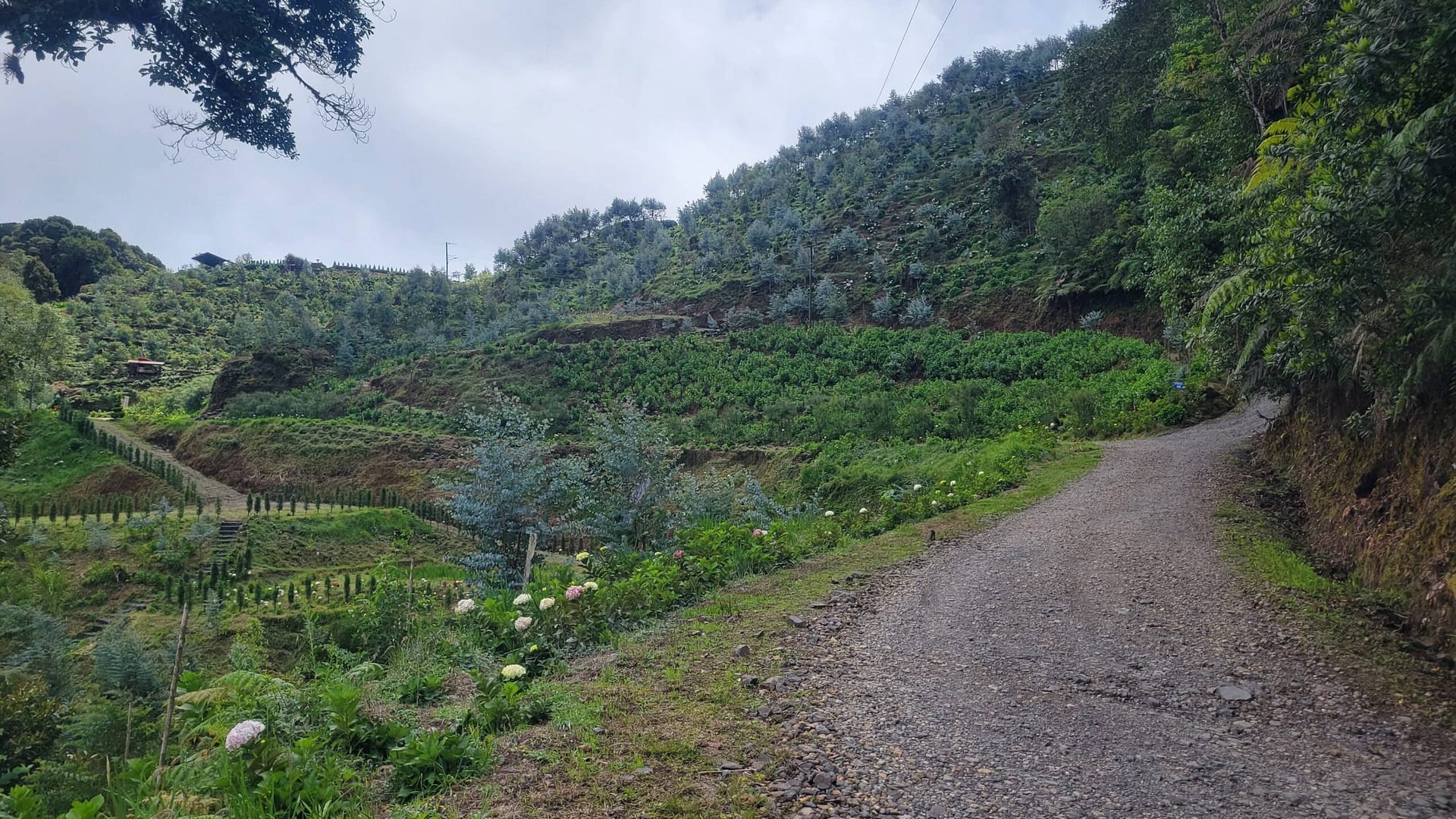
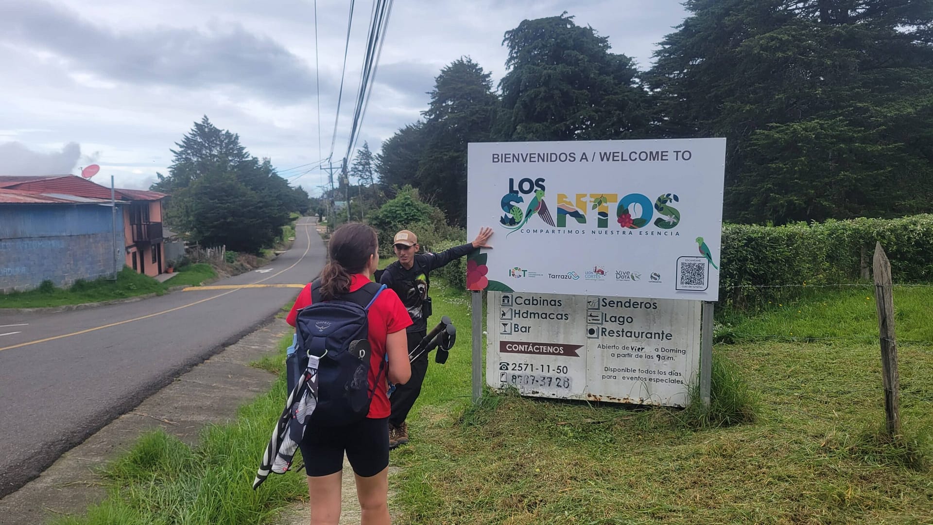
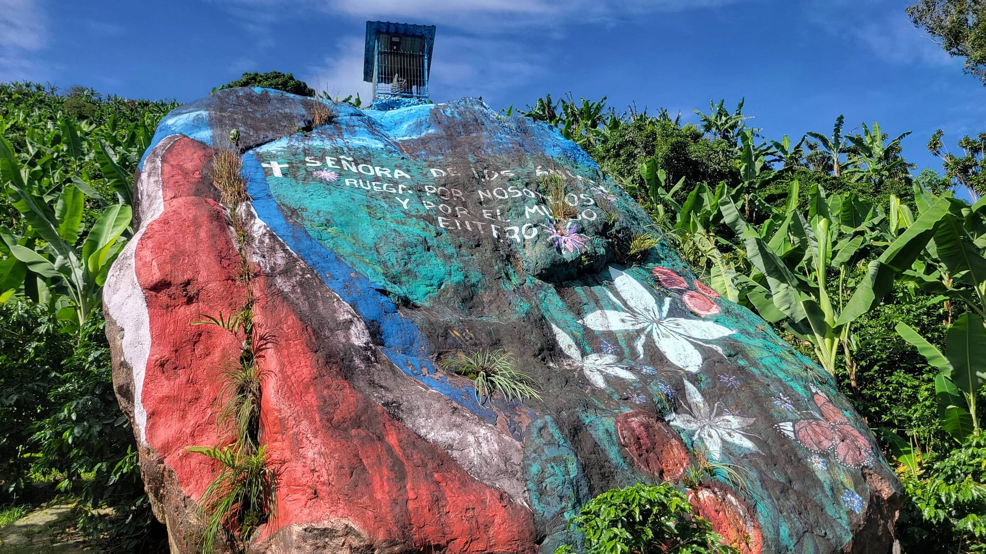
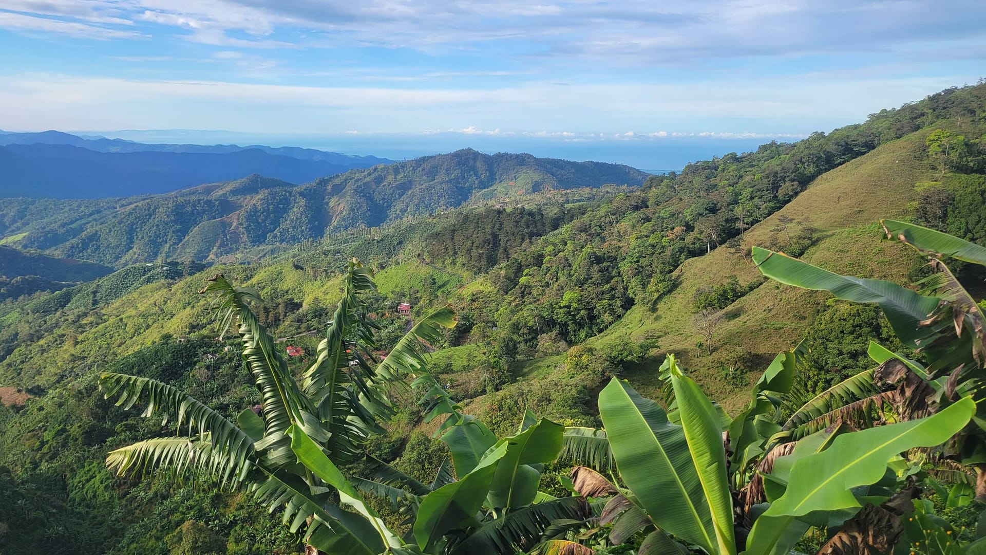
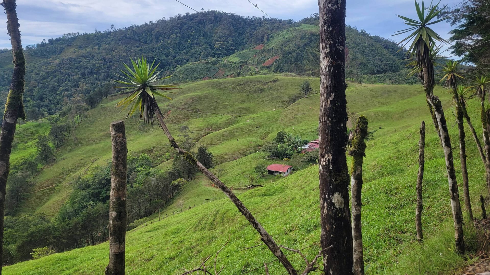
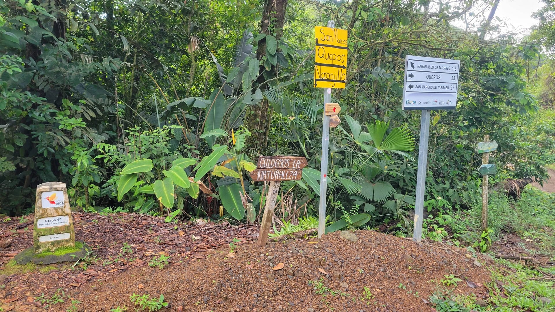
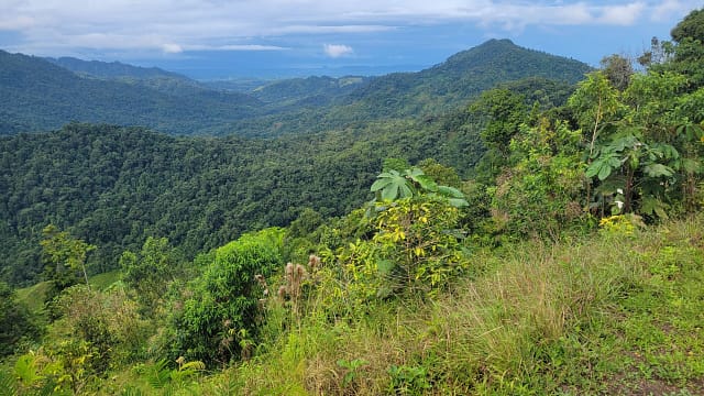
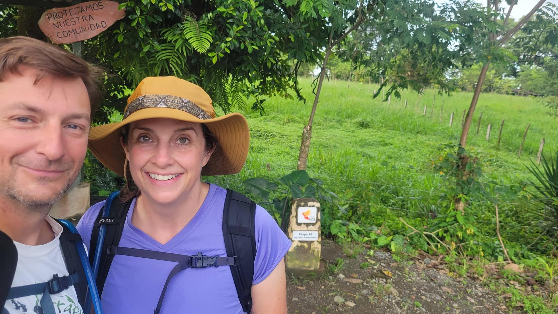
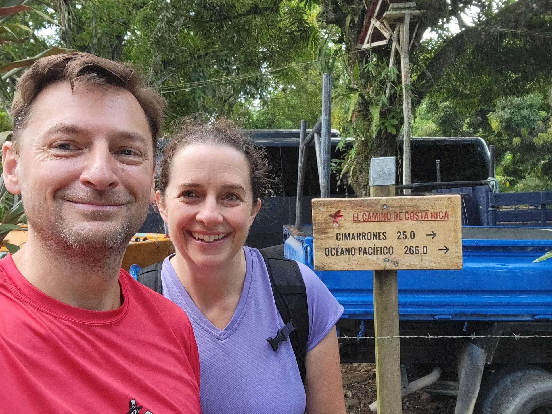
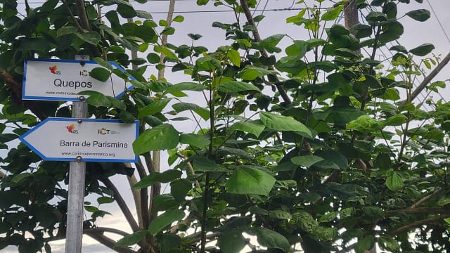
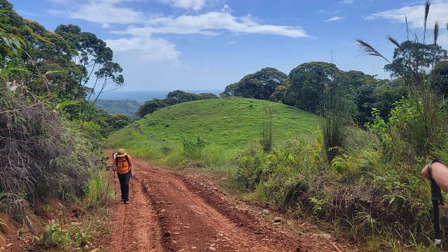
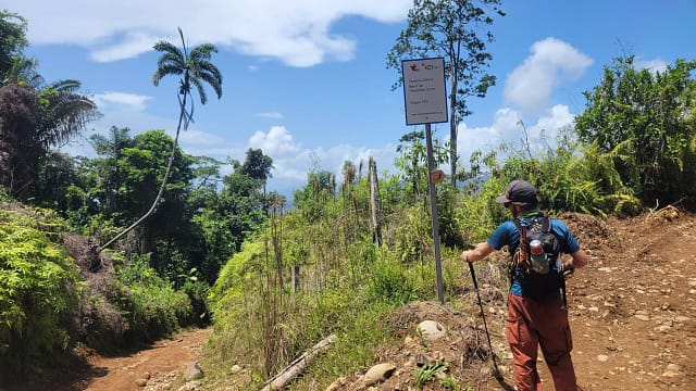
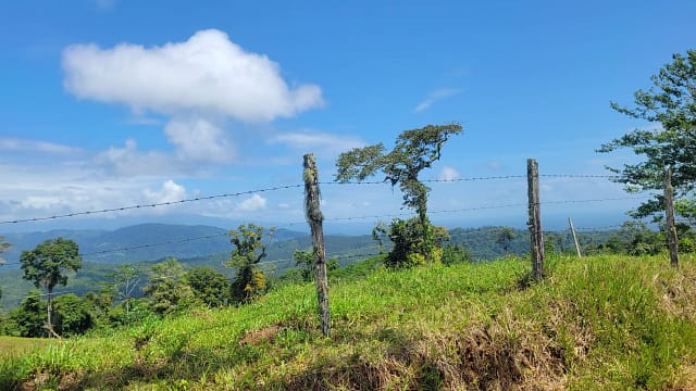
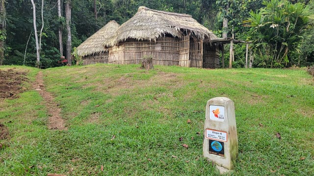
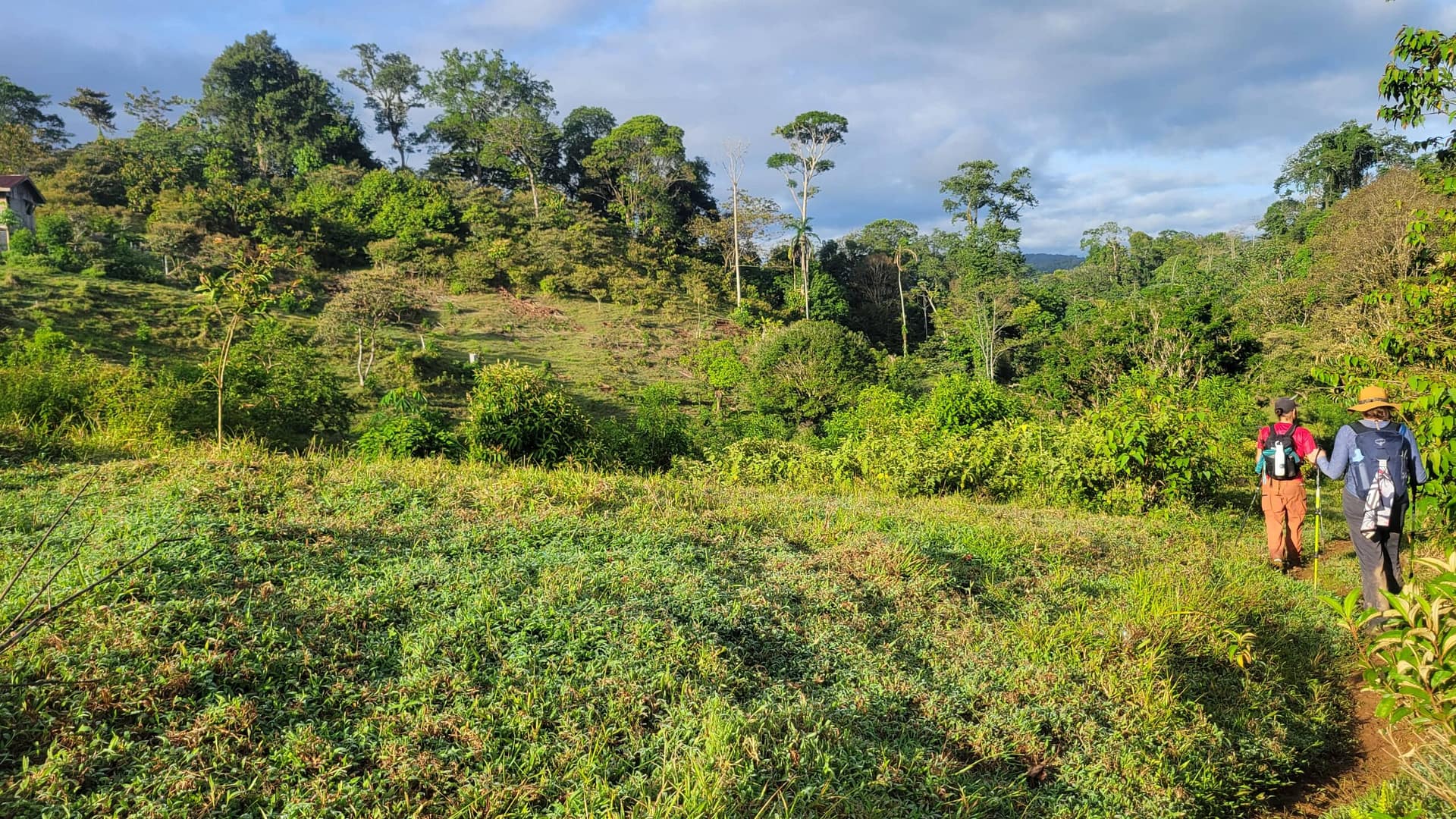
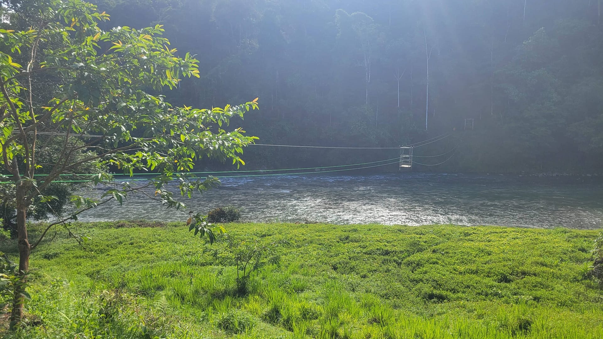
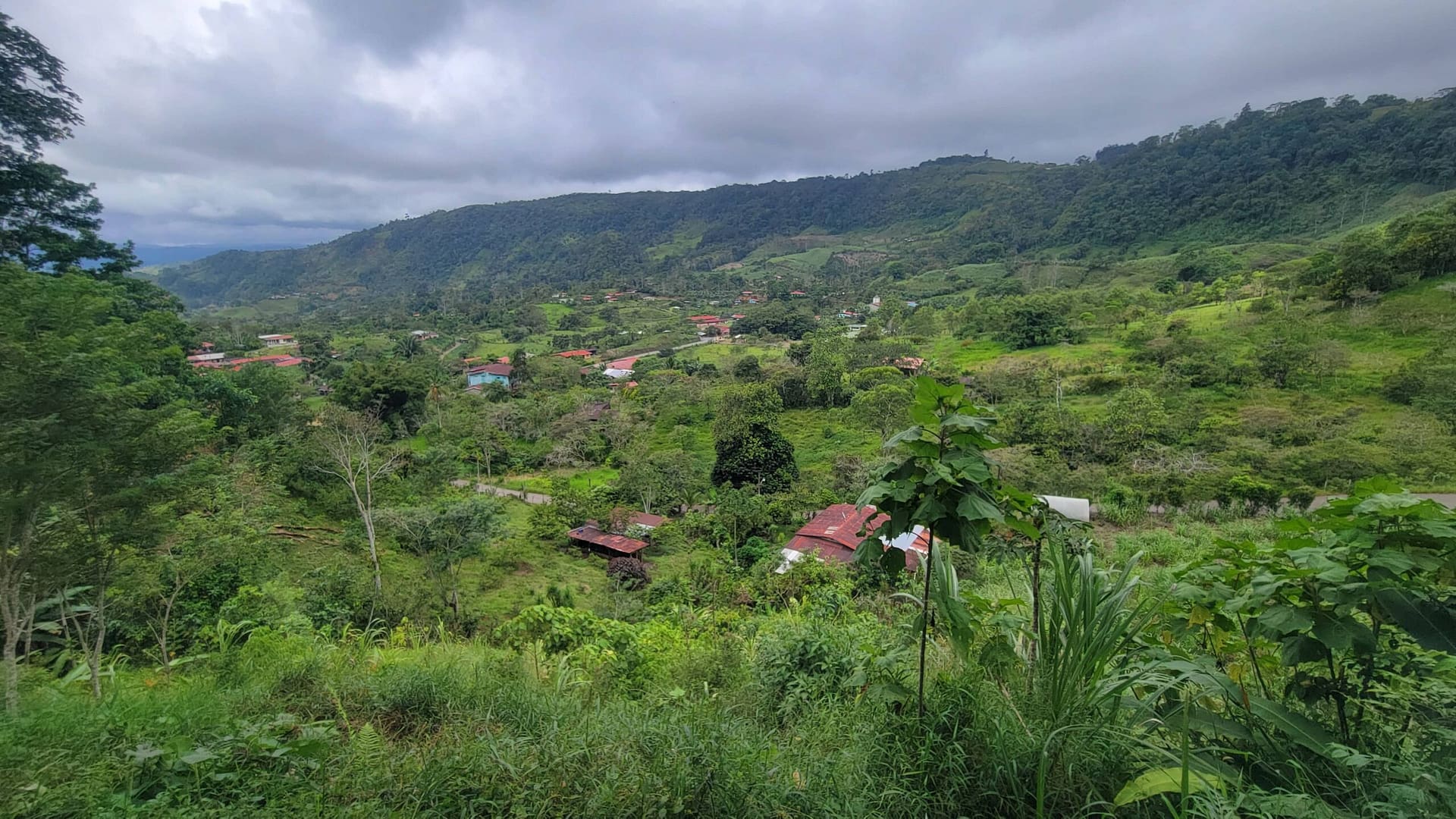
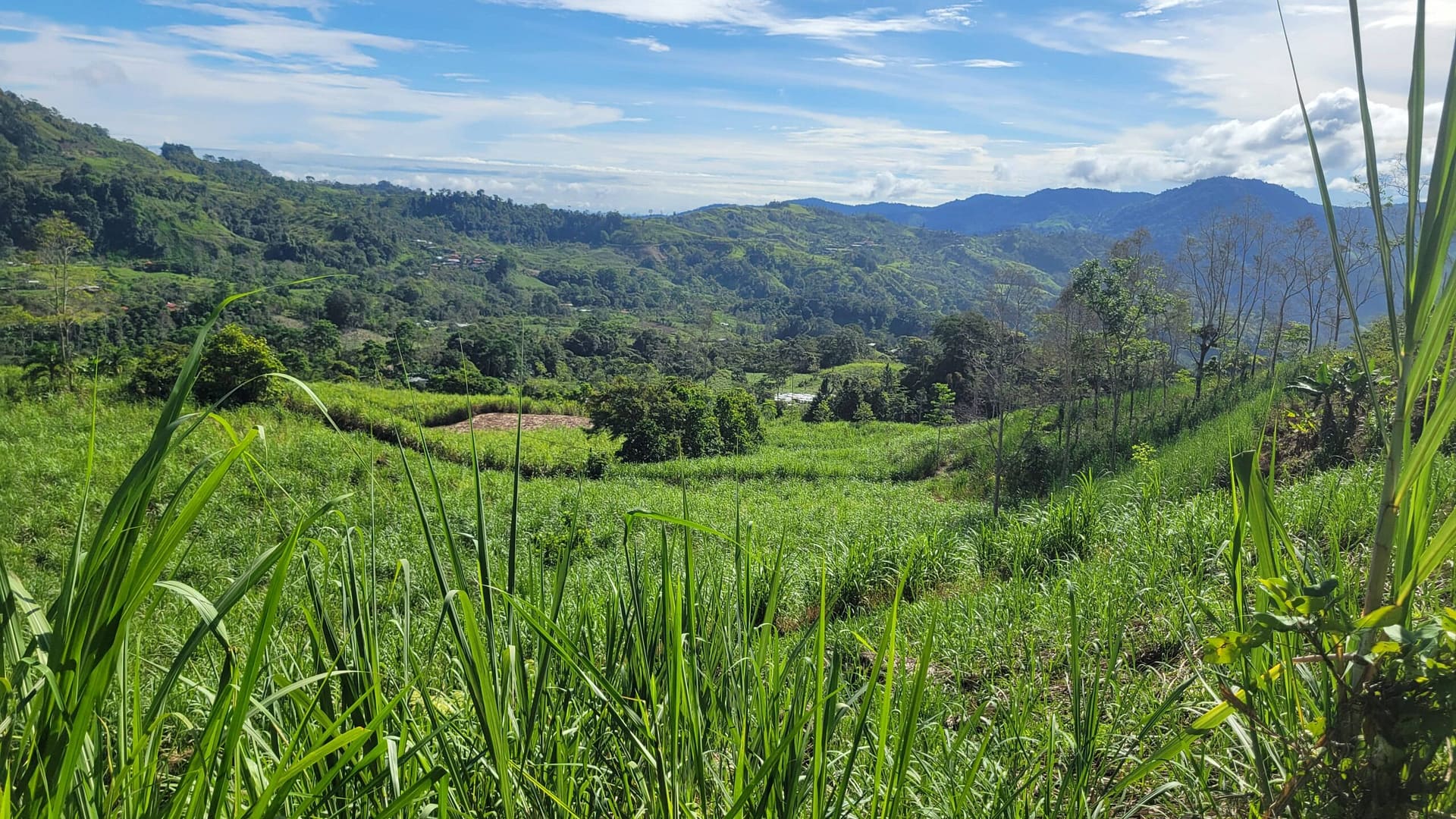
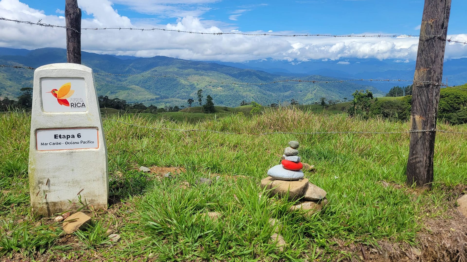
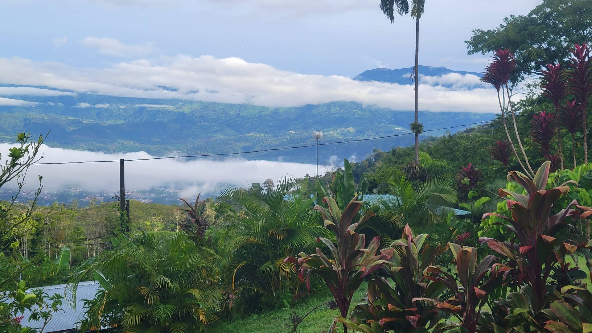
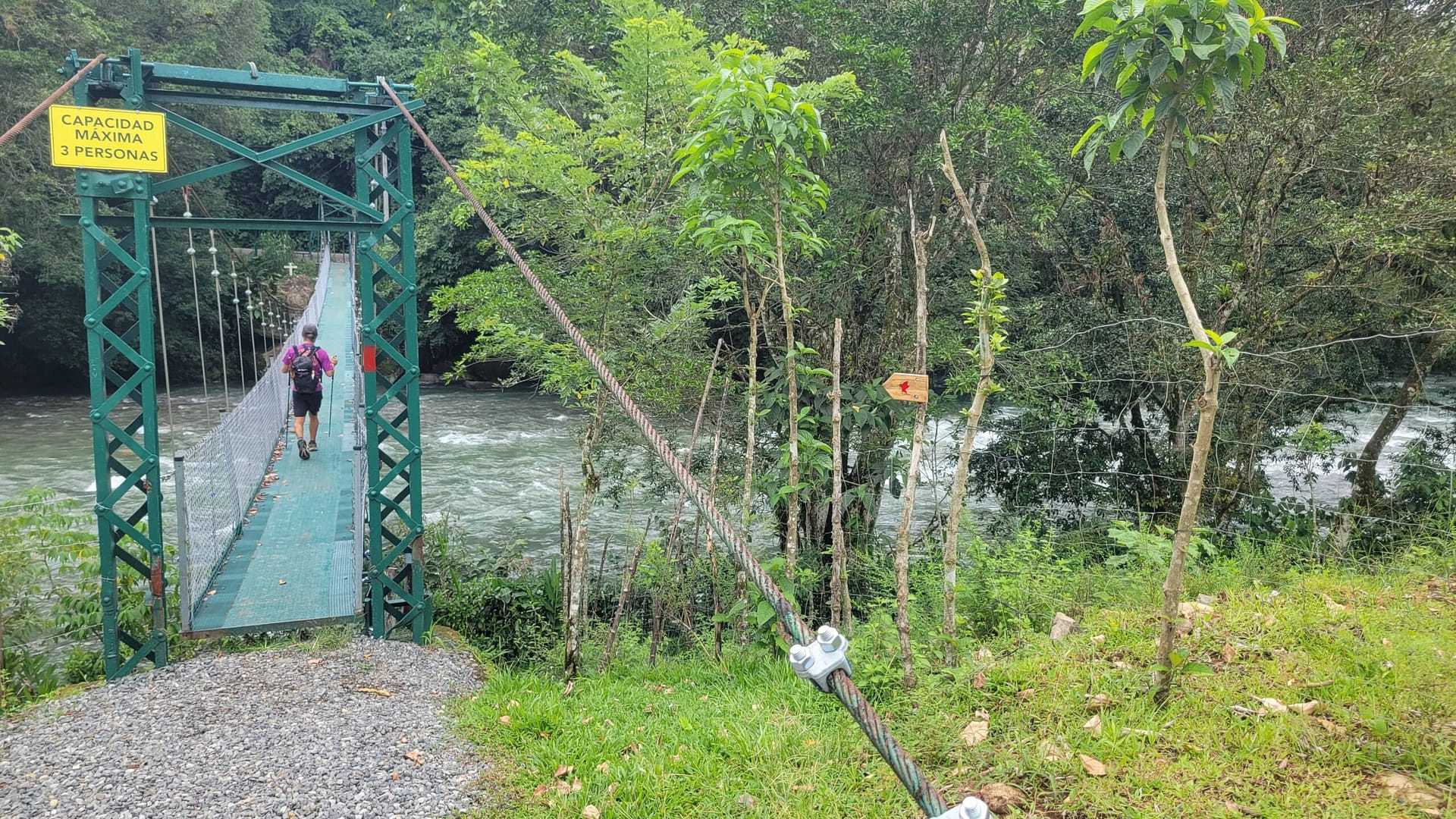
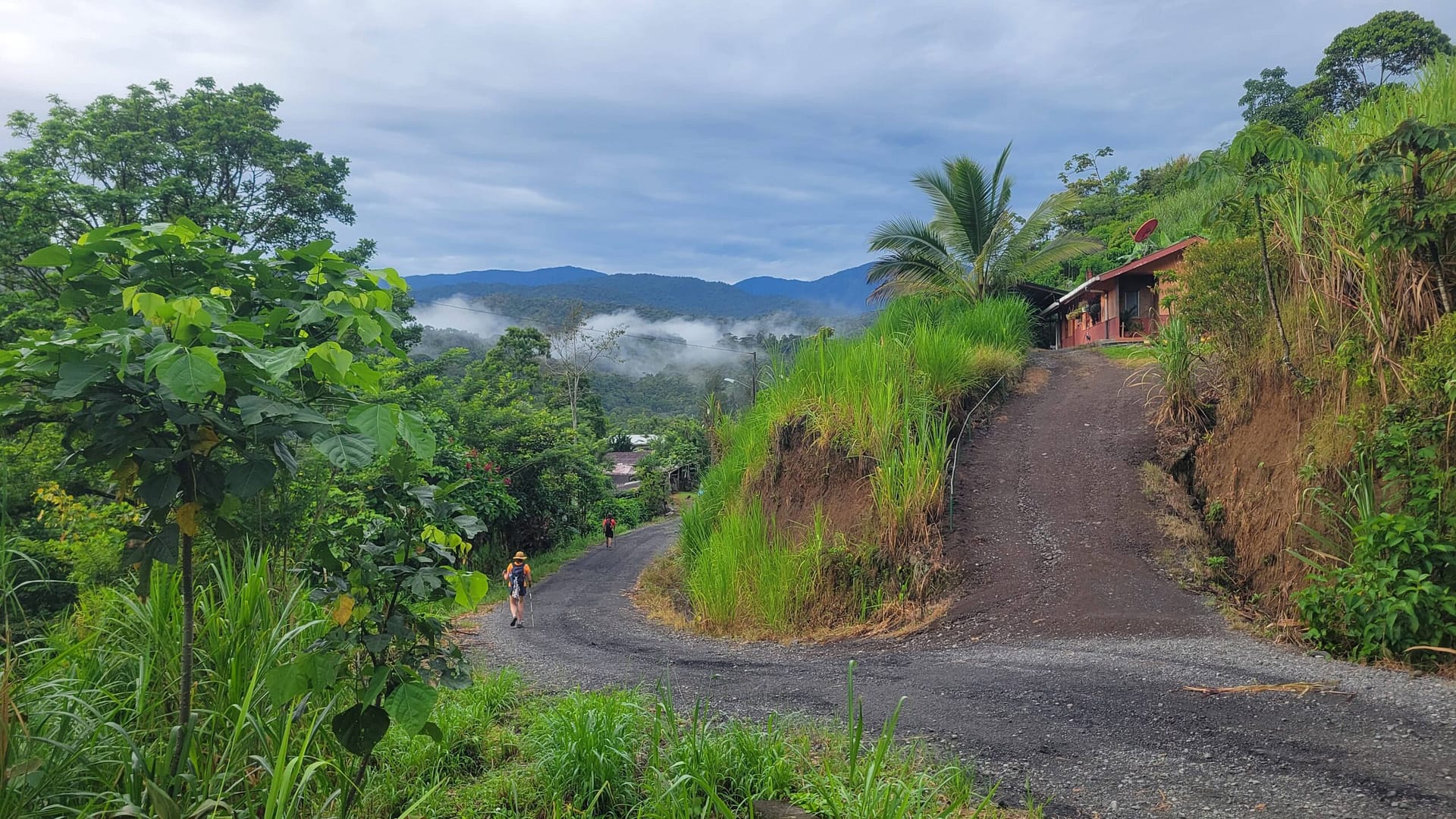
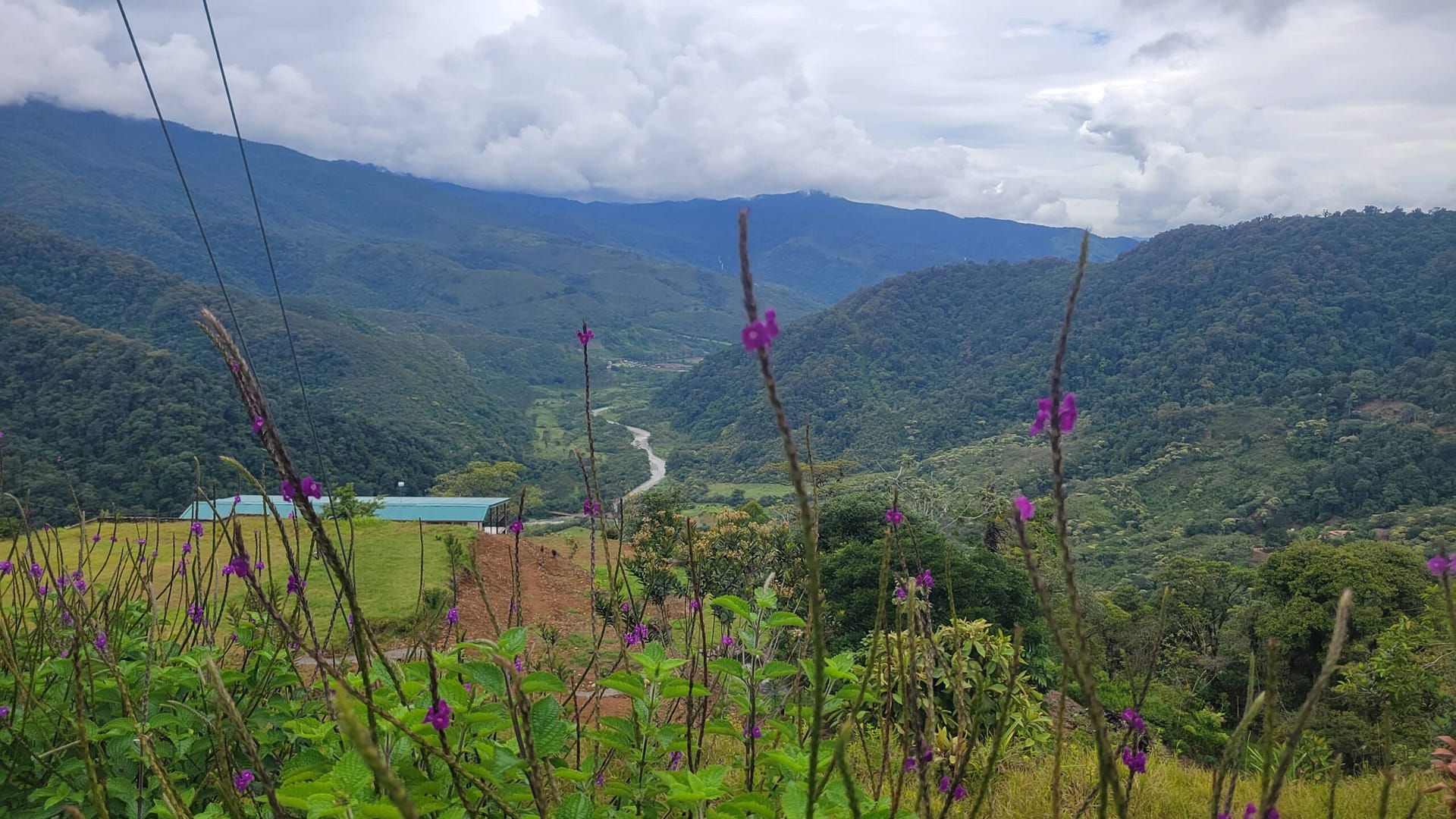
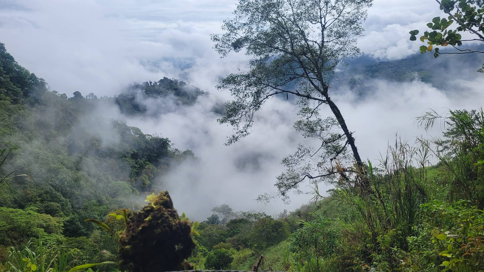
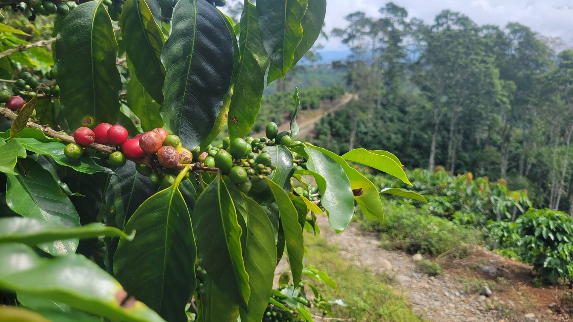
El Camino de Costa Rica, established in 2017, is a long-distance hiking trail that spans 280 kilometers (roughly 175 miles) from the Caribbean to the Pacific coast. The woman who brought it to reality actually was inspired by Camino de Santiago, in Spain, and created the trail with Mar a Mar Foundation. The trail was developed to promote sustainable tourism and economic opportunities in rural communities in Costa Rica. It follows historical trade routes and paths used by indigenous peoples, offering a journey through diverse ecosystems and cultural landscapes. El Camino highlights Costa Rica’s commitment to conservation and its rich natural and cultural heritage, drawing hikers from around the world to experience the country’s scenic beauty and local hospitality.
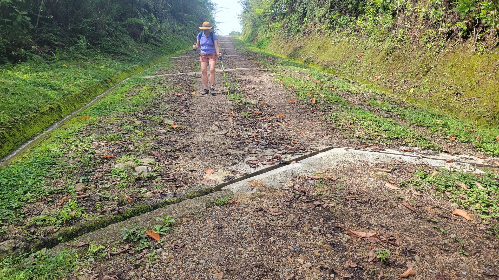
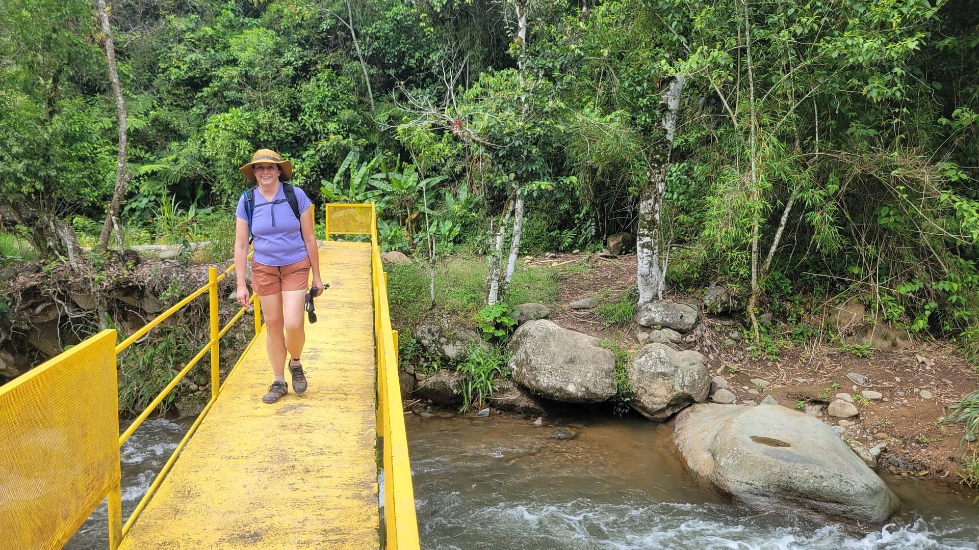
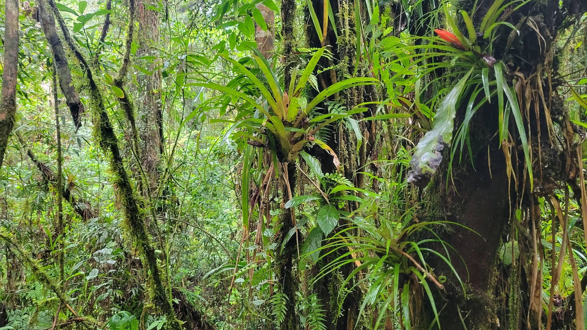
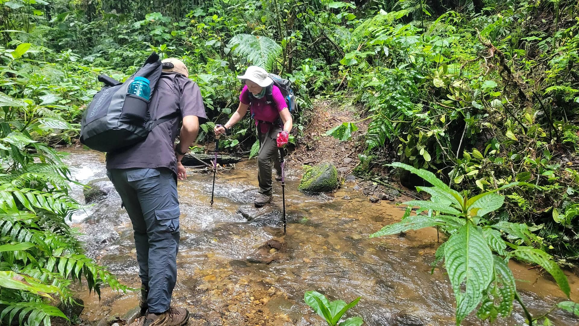
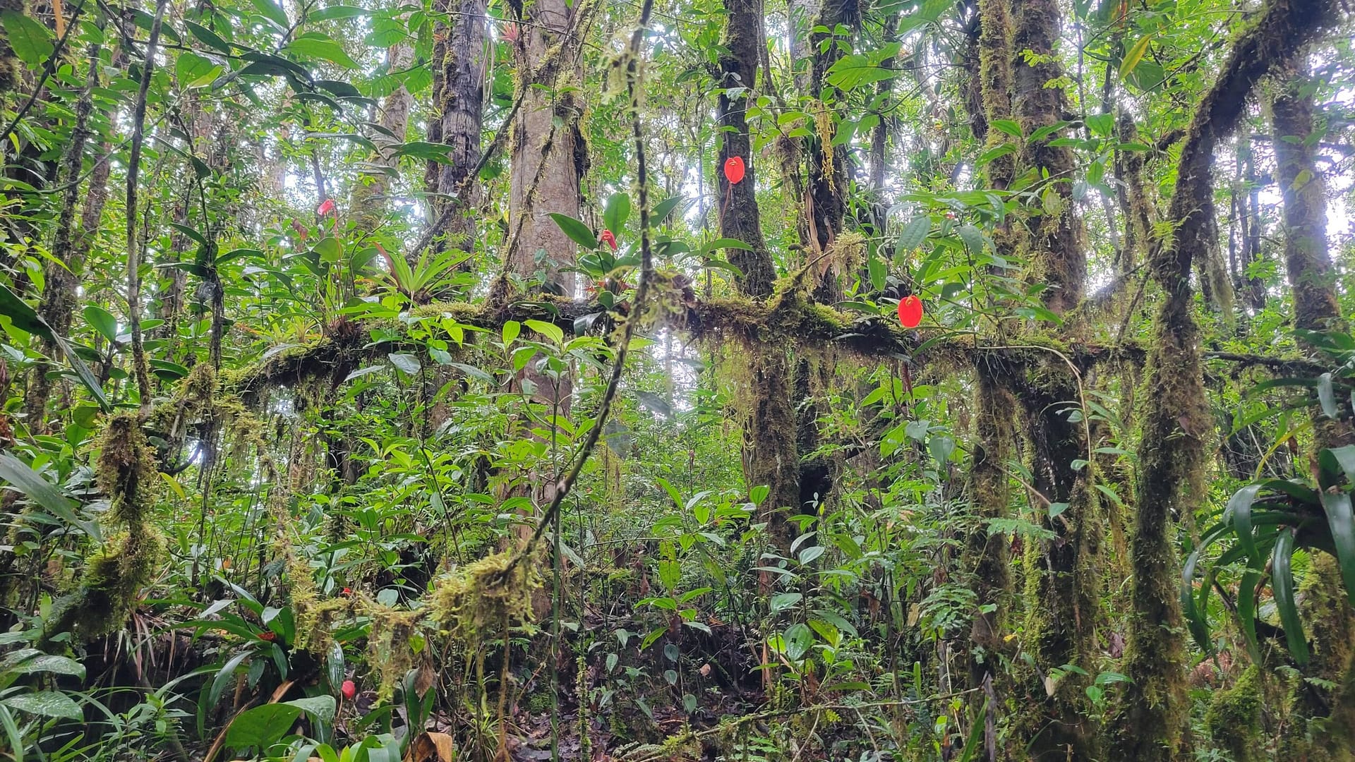
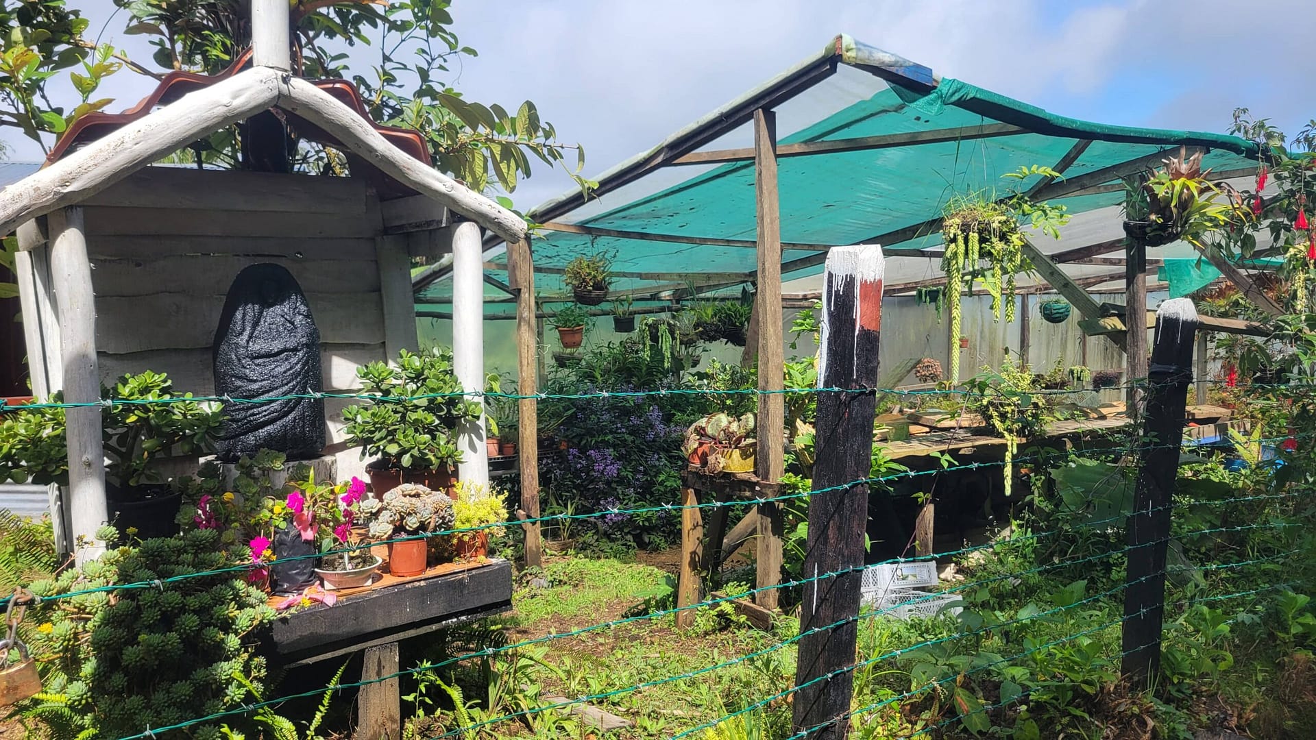
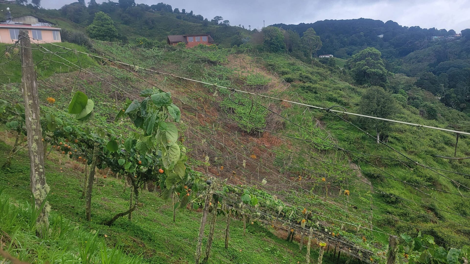
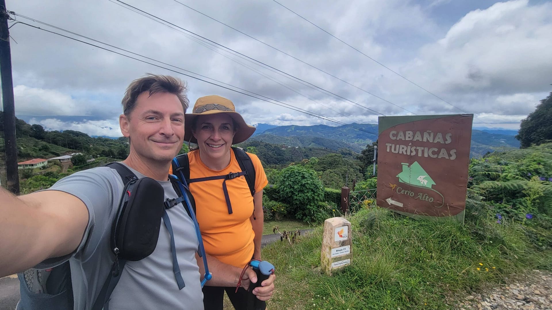
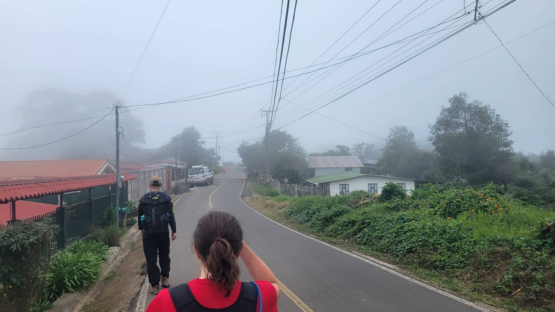
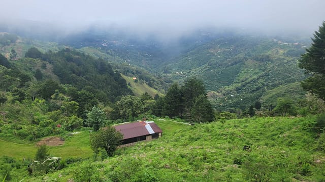
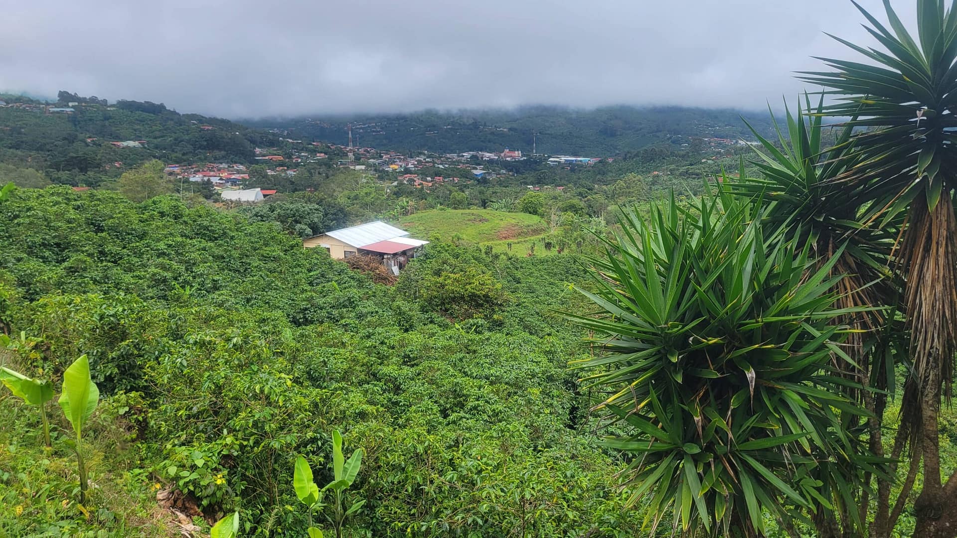
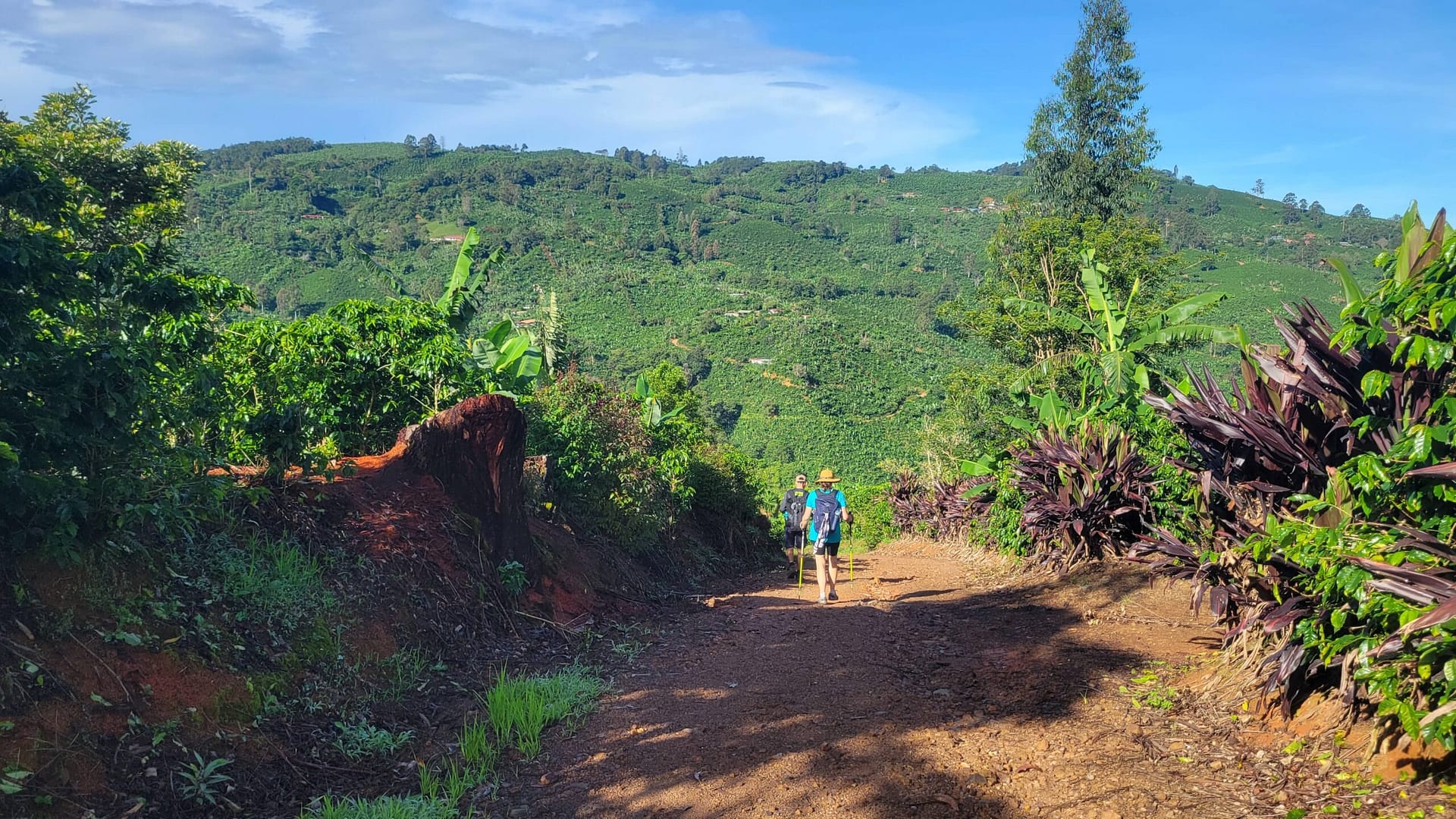
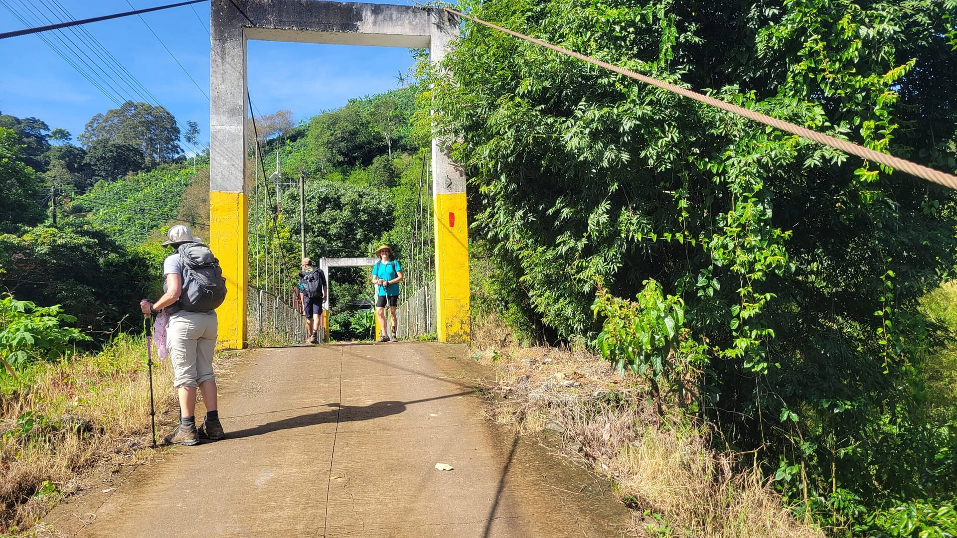
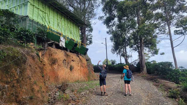
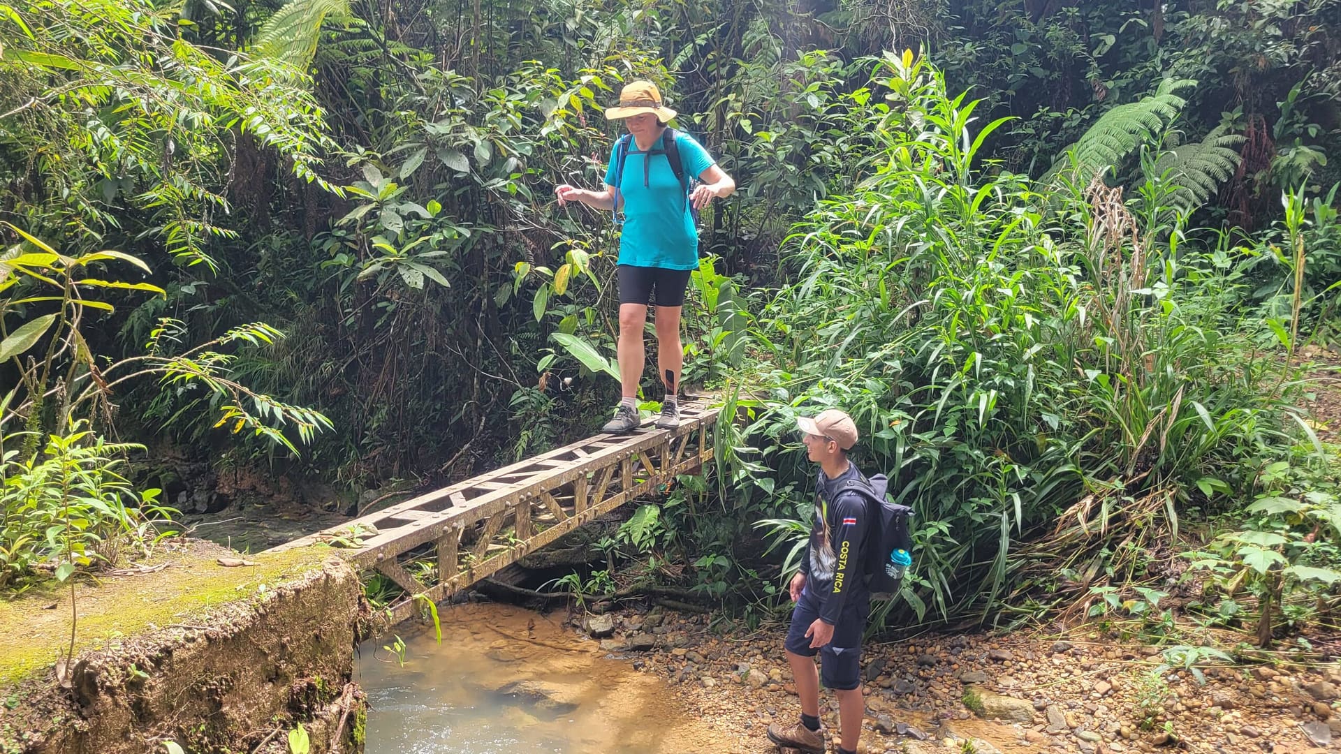
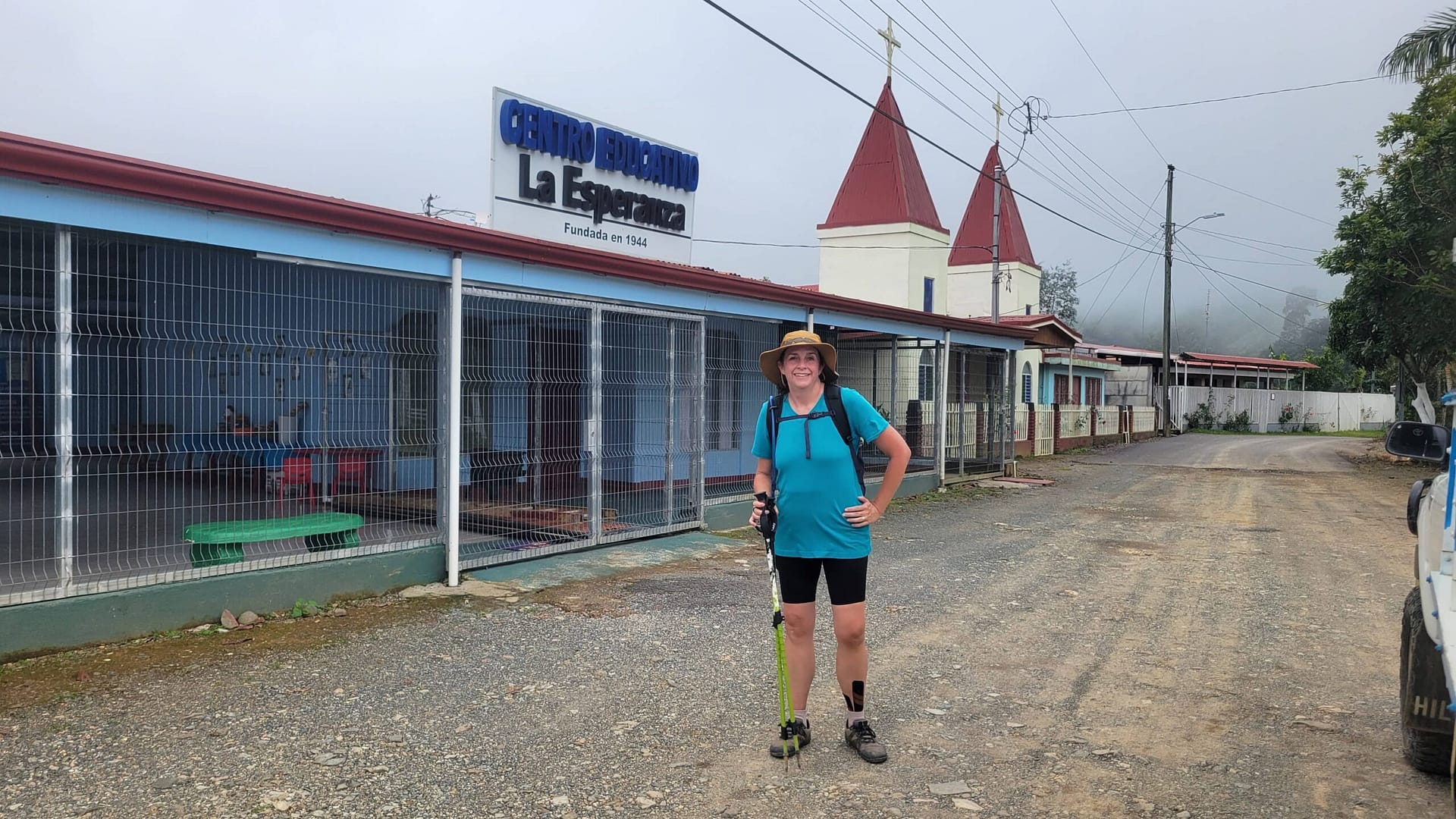
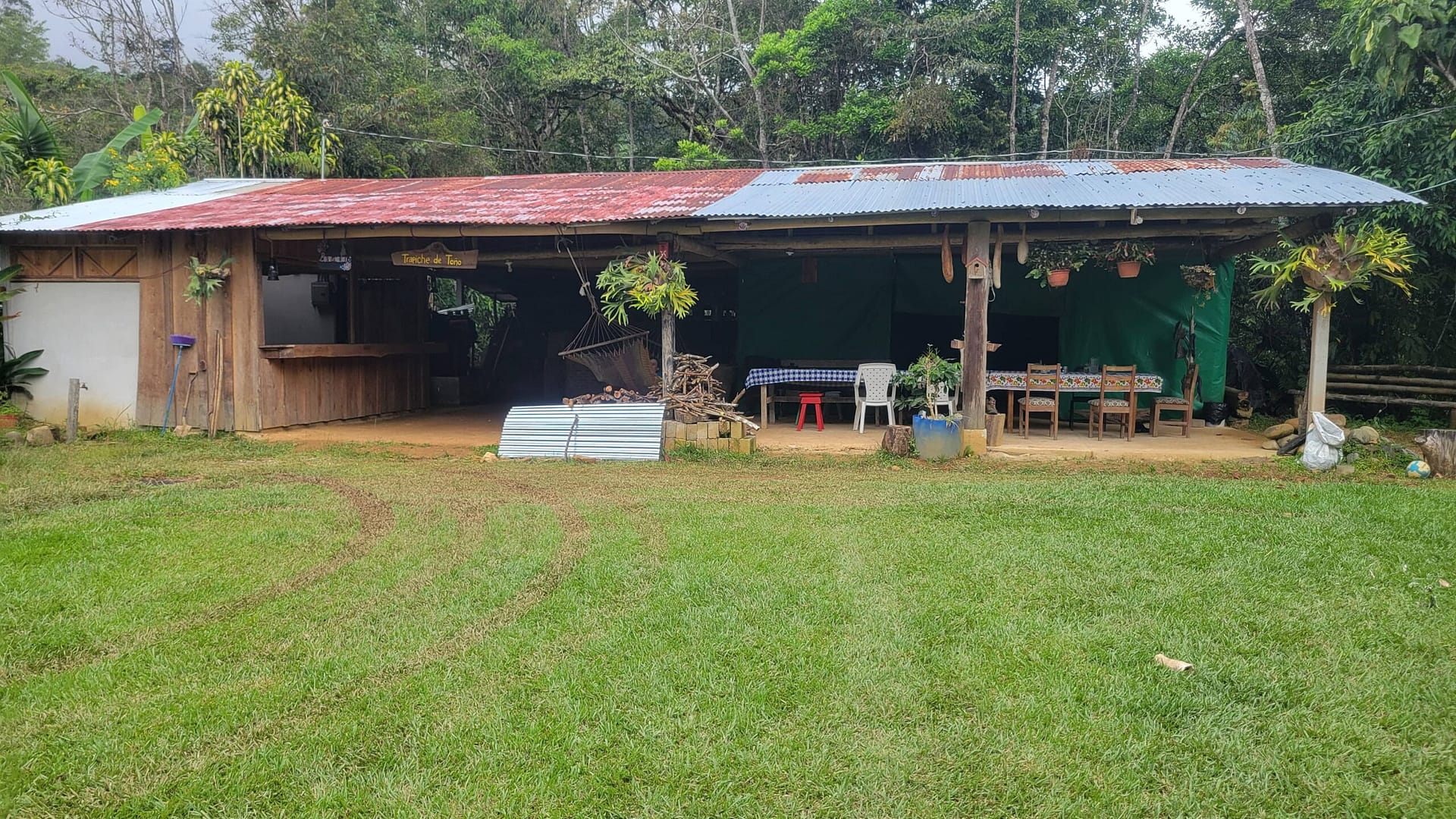
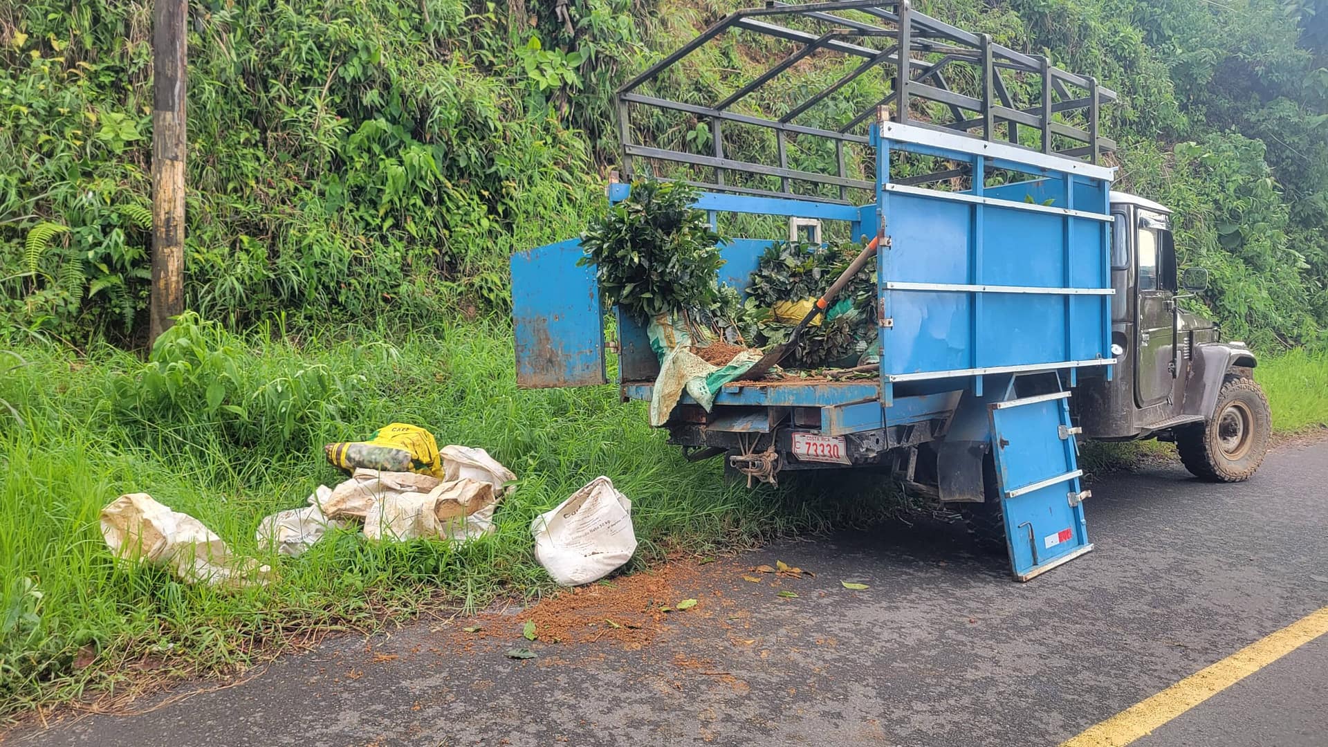
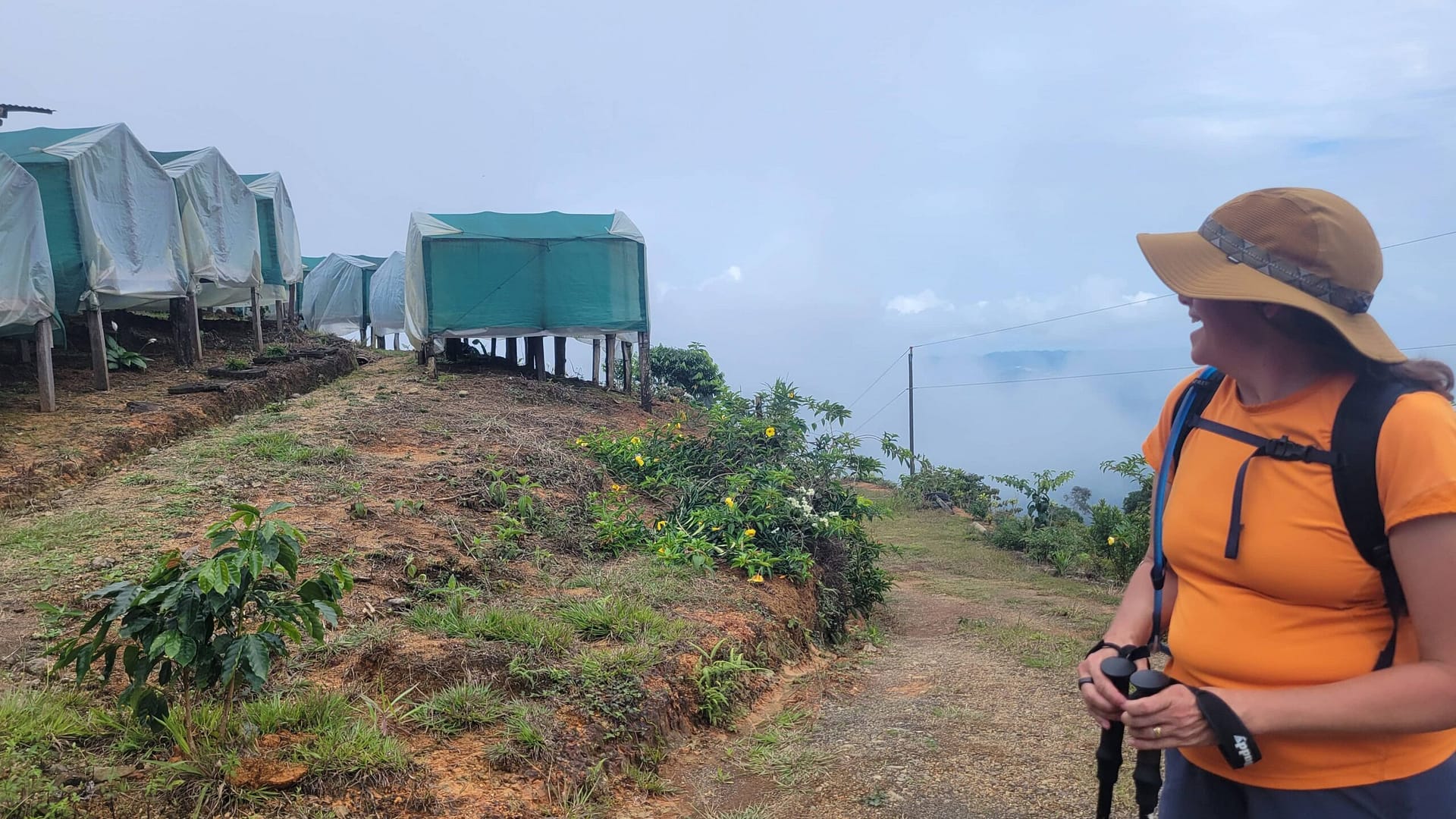
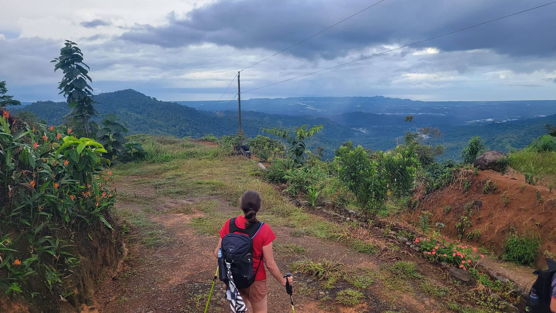
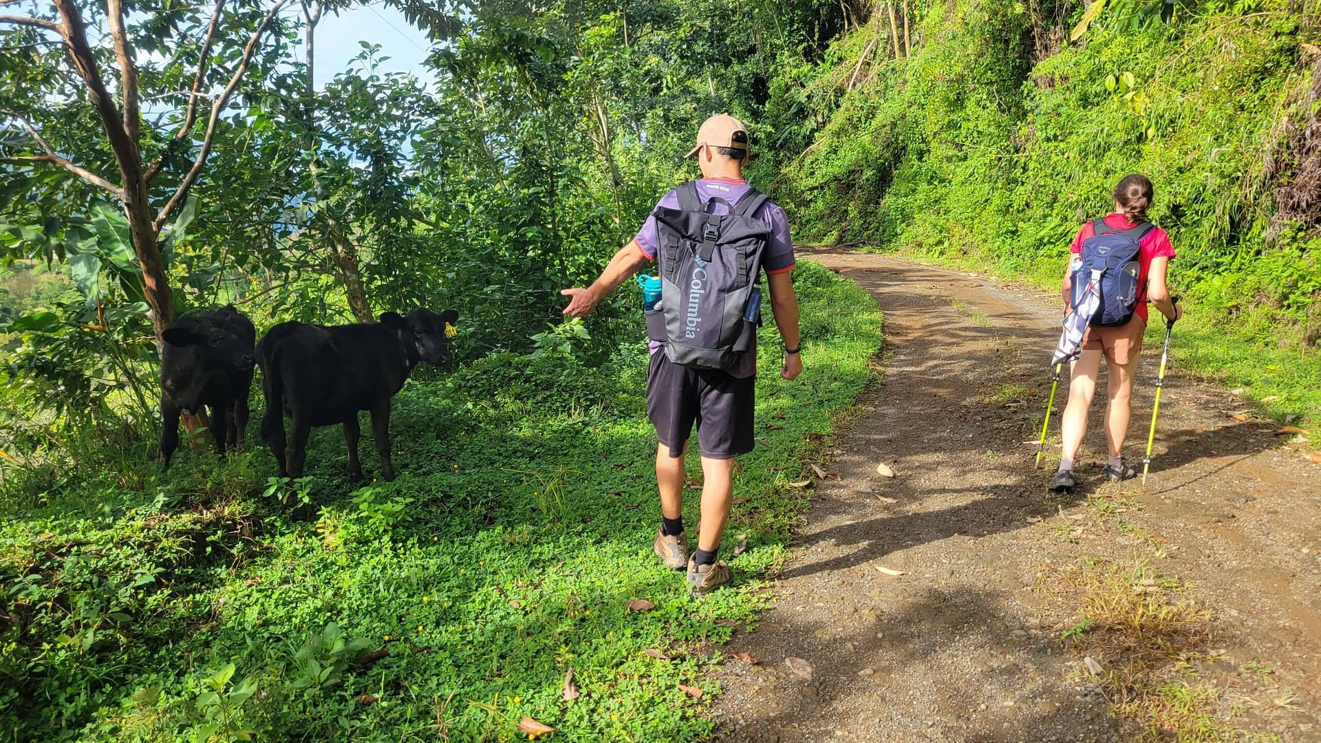
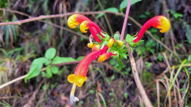
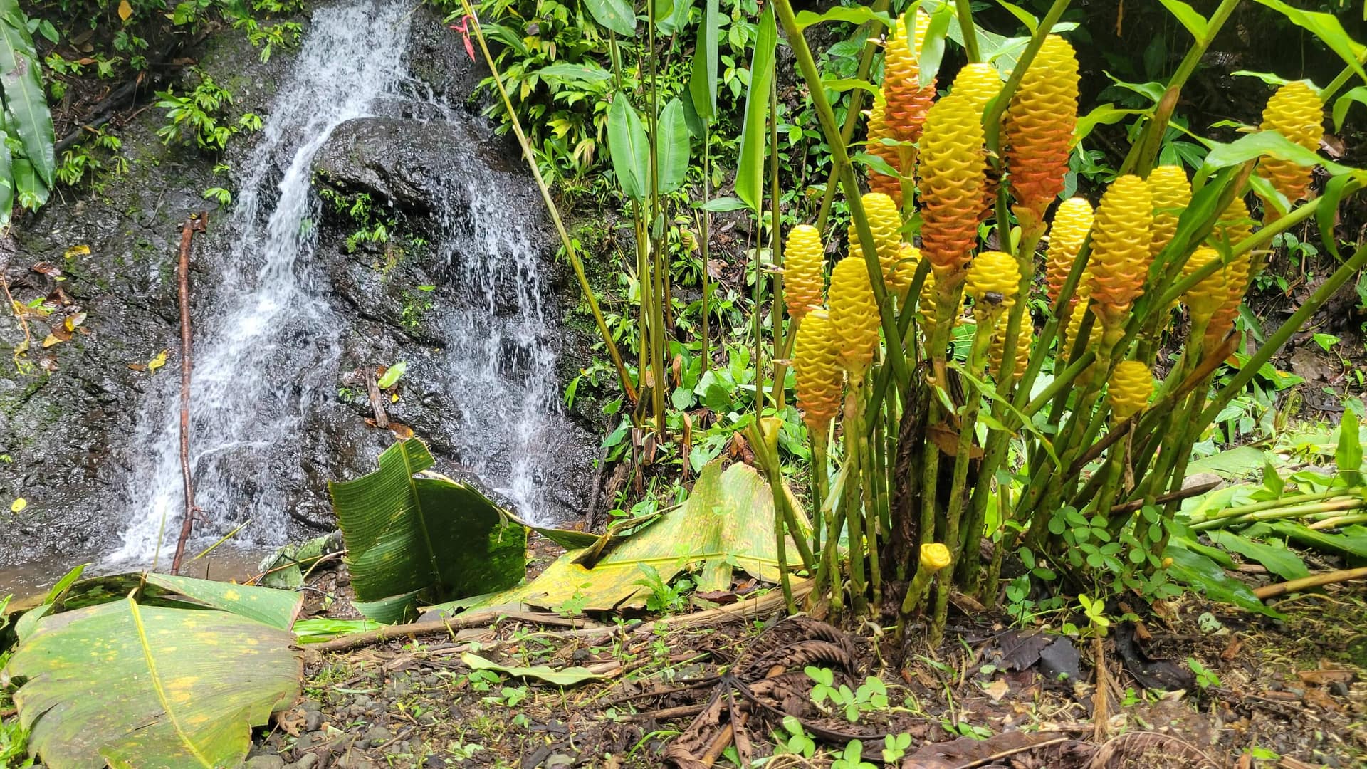
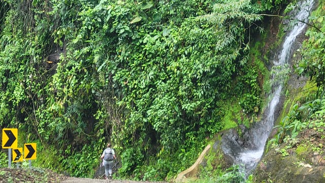
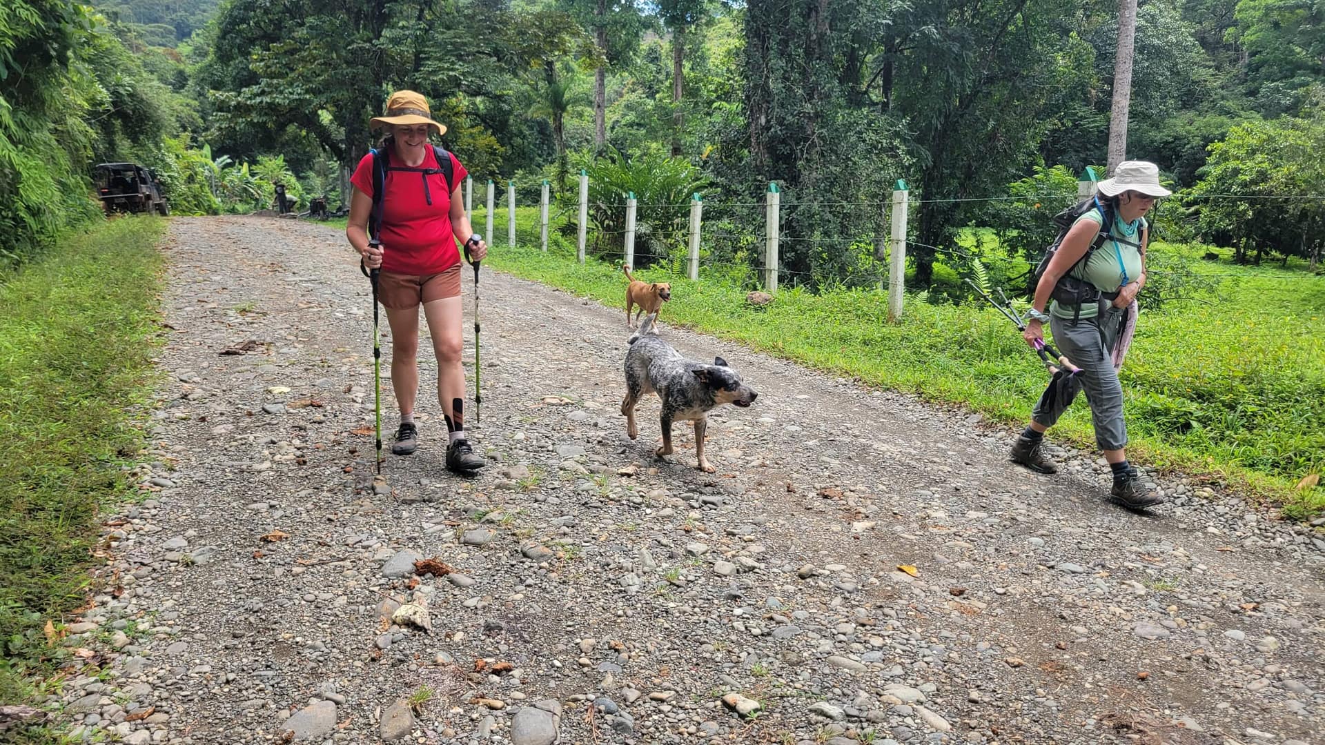
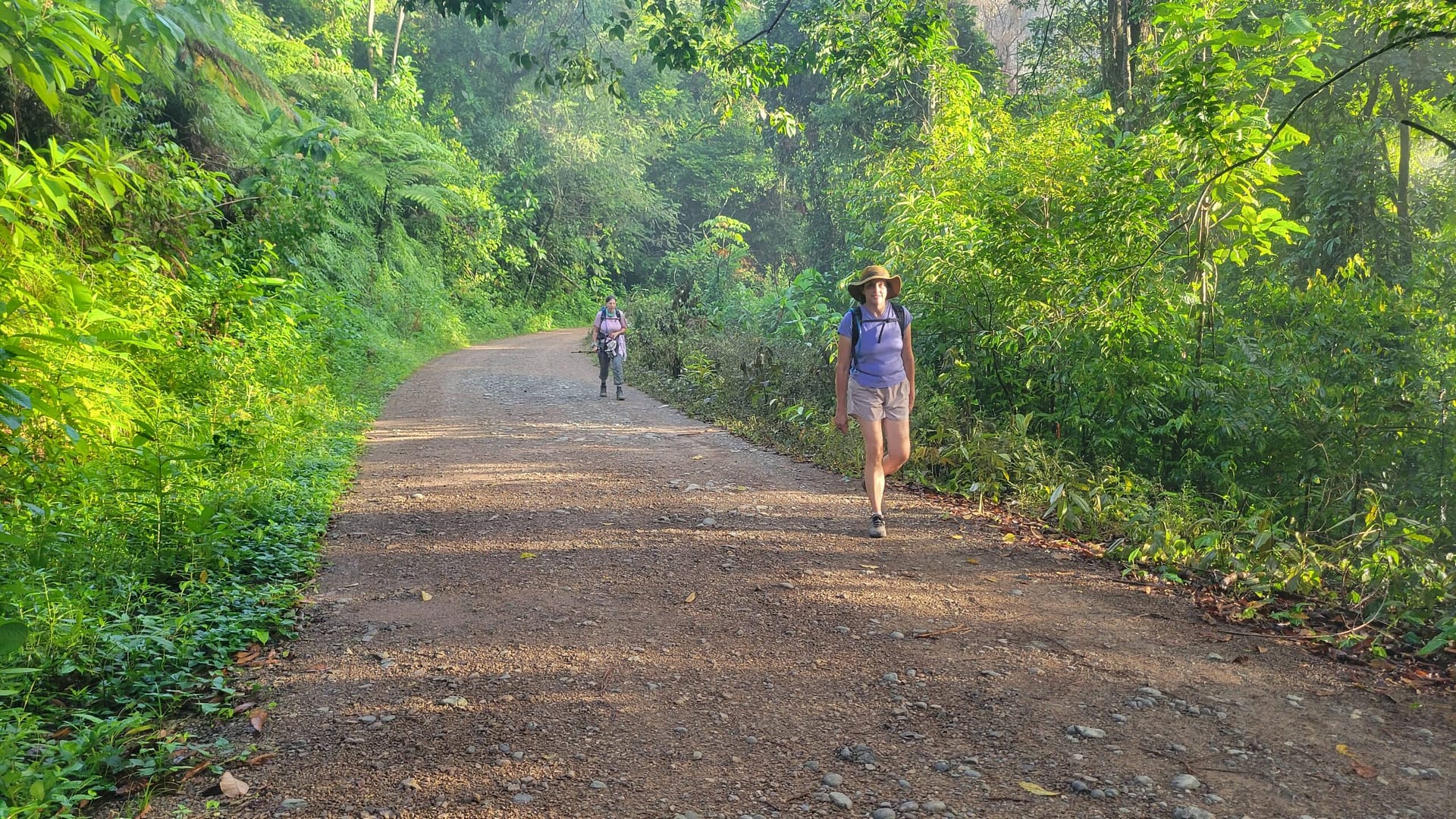
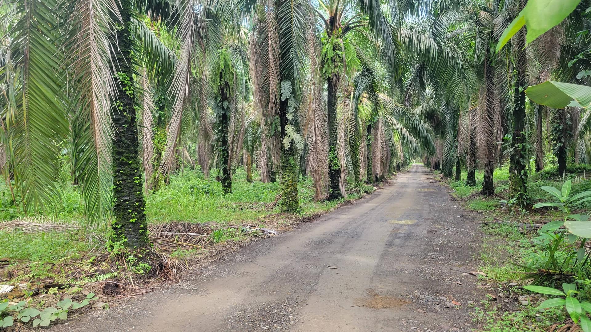
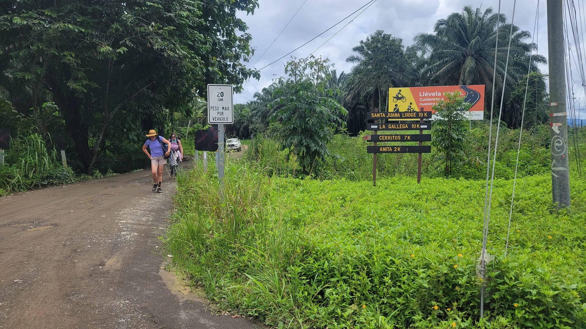
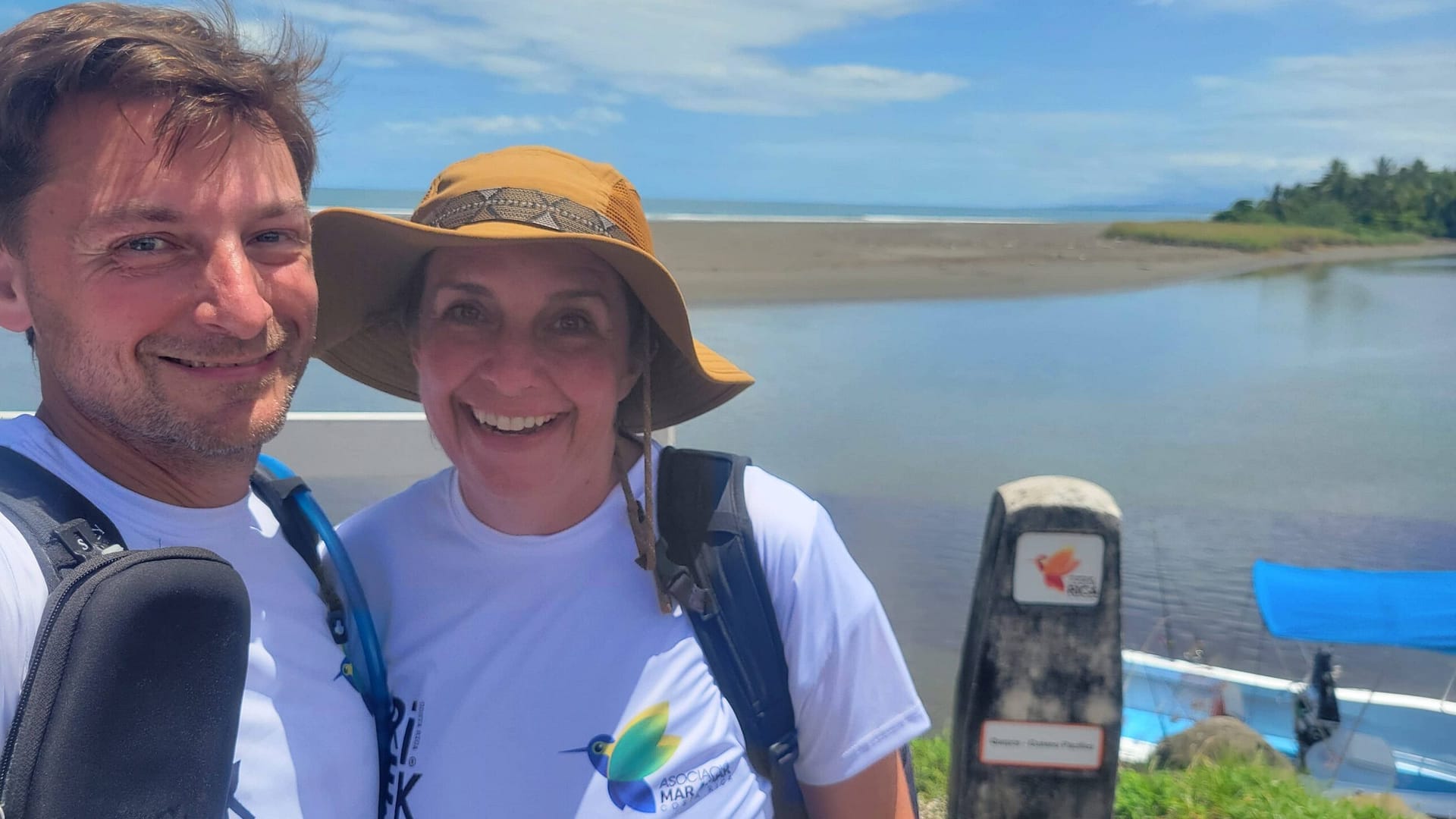
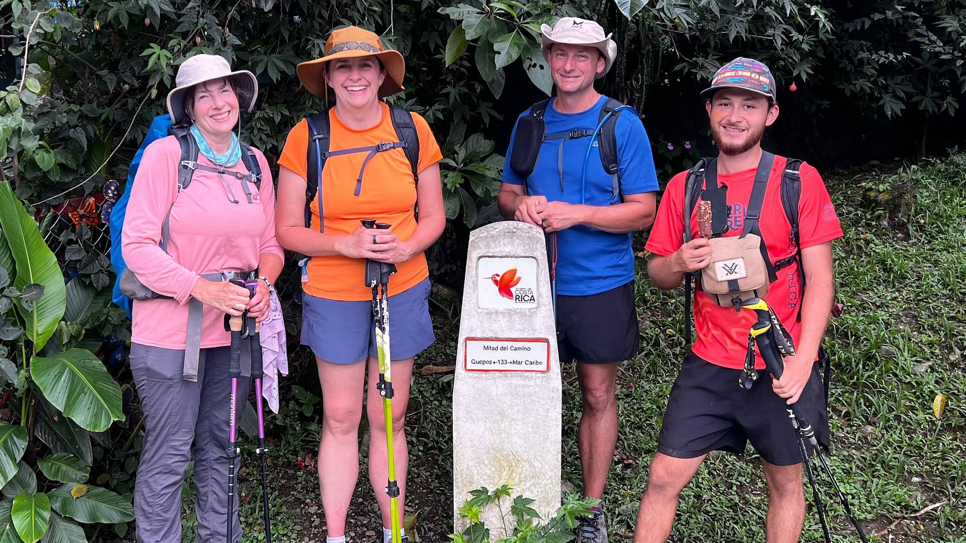
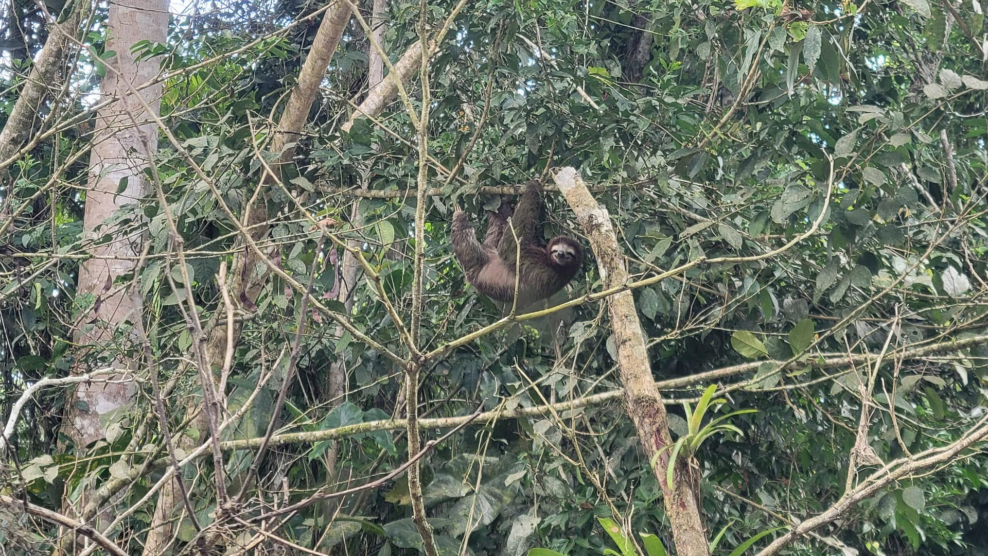
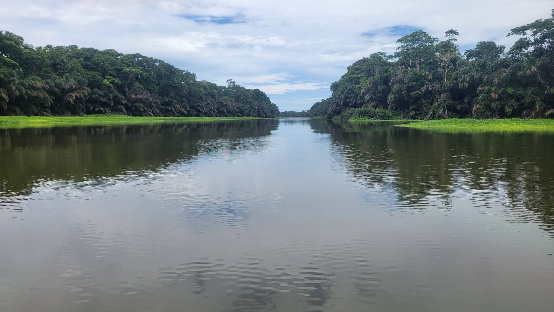
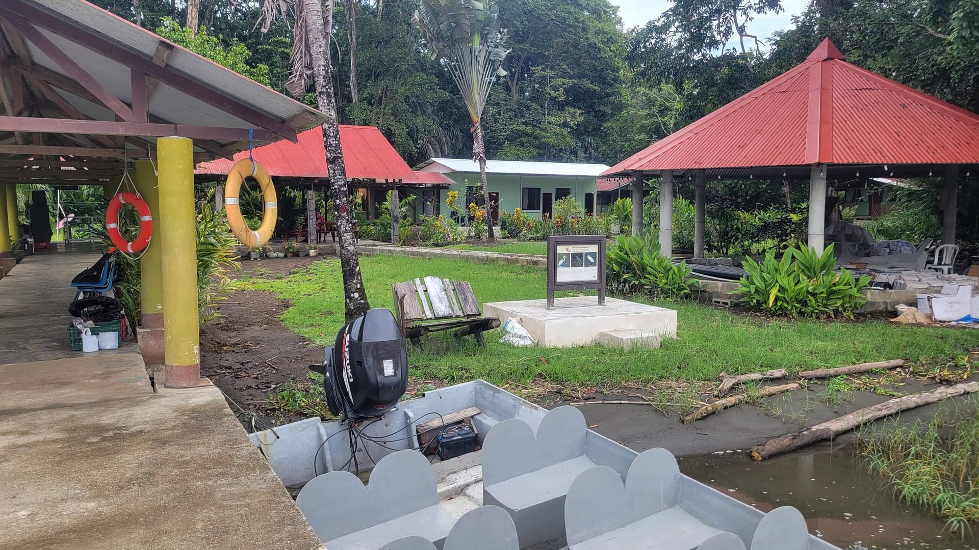
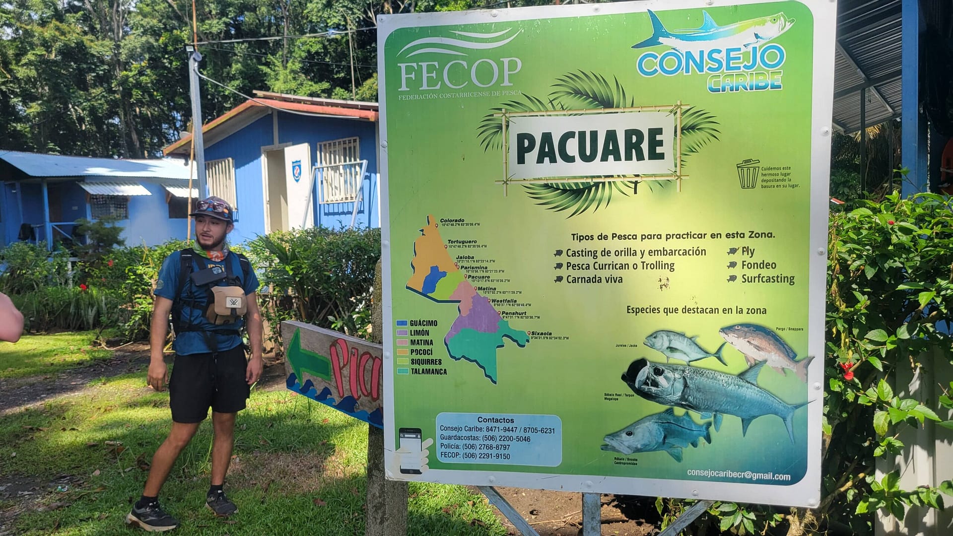
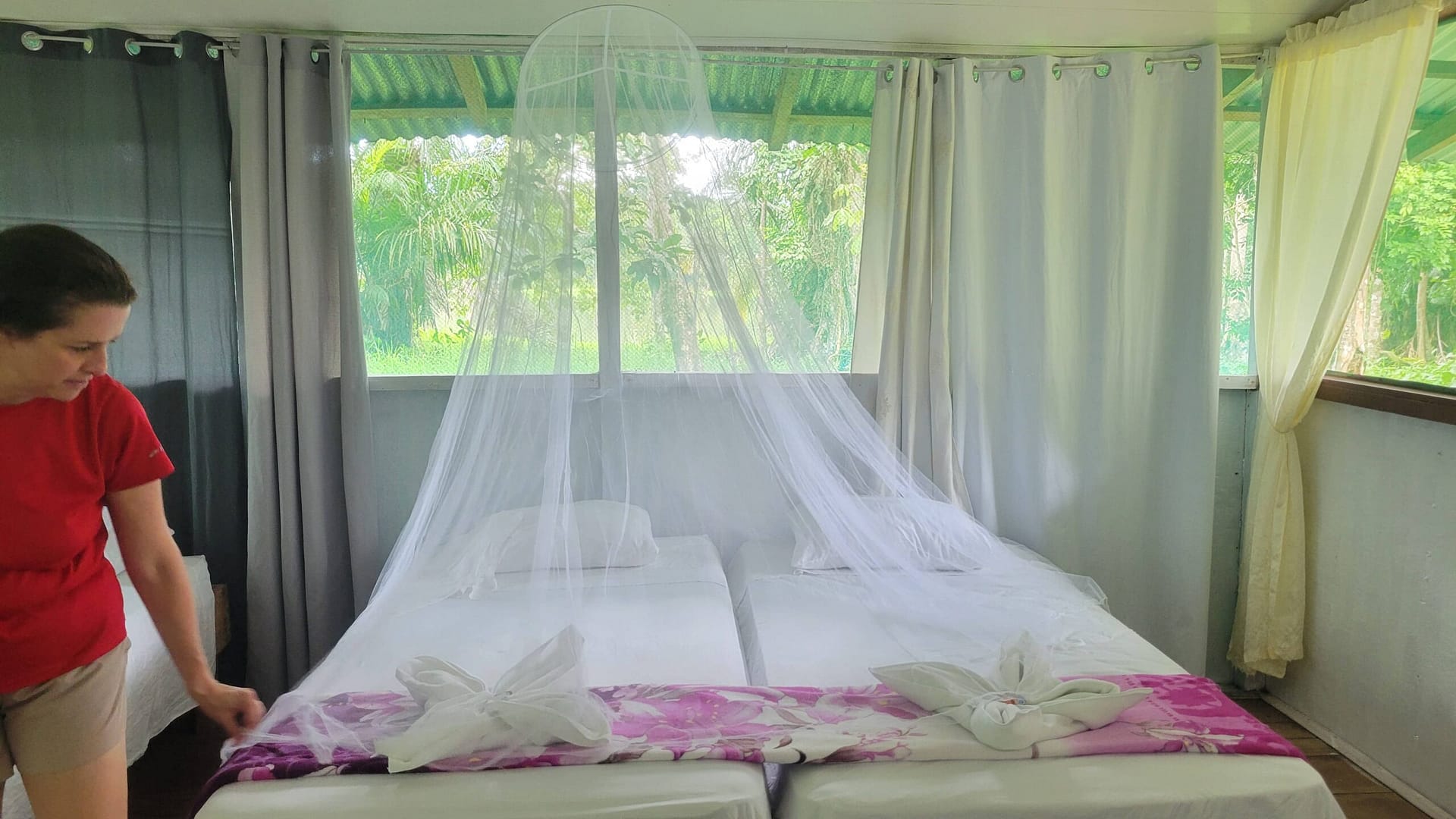
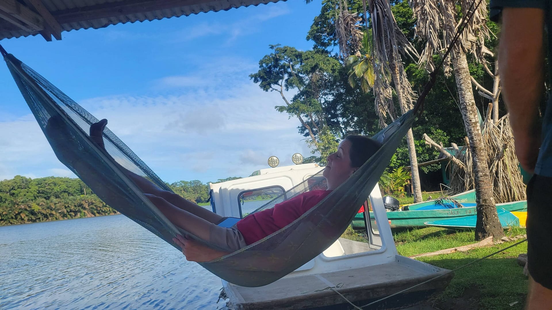
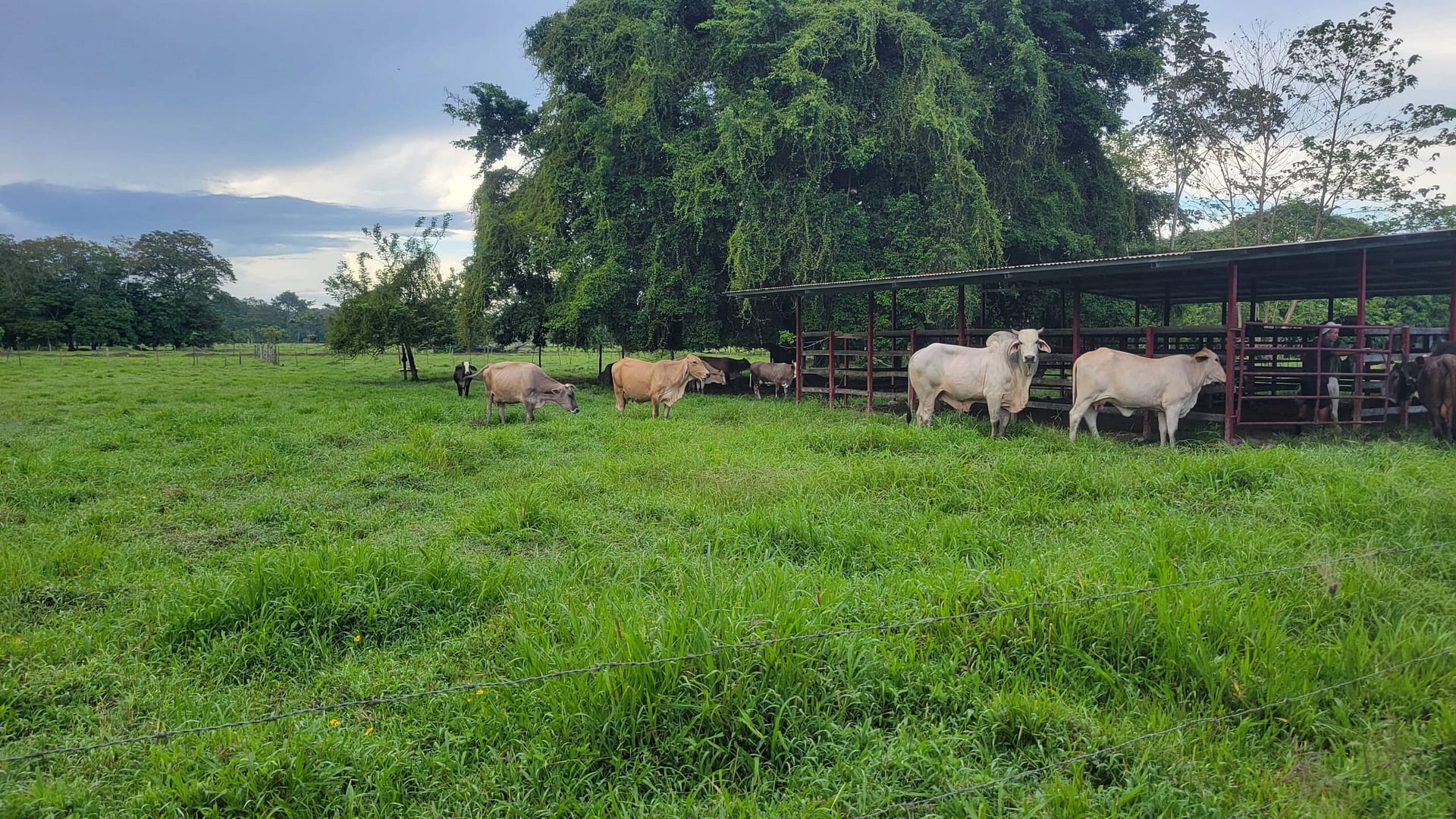
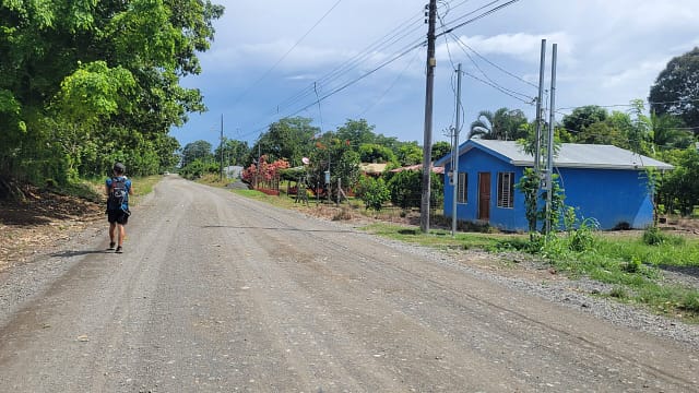
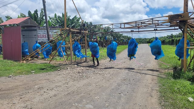
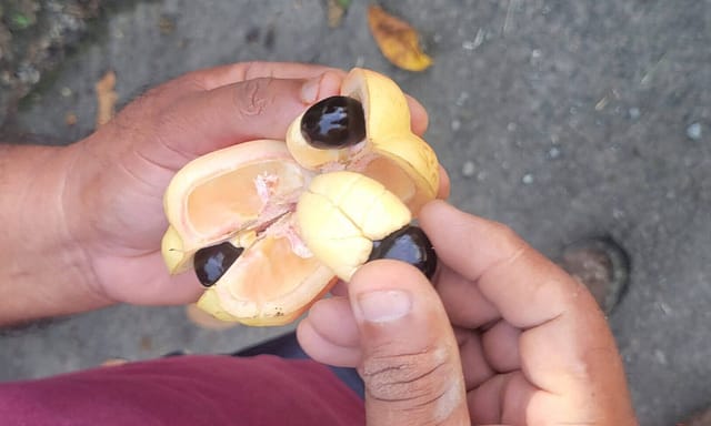
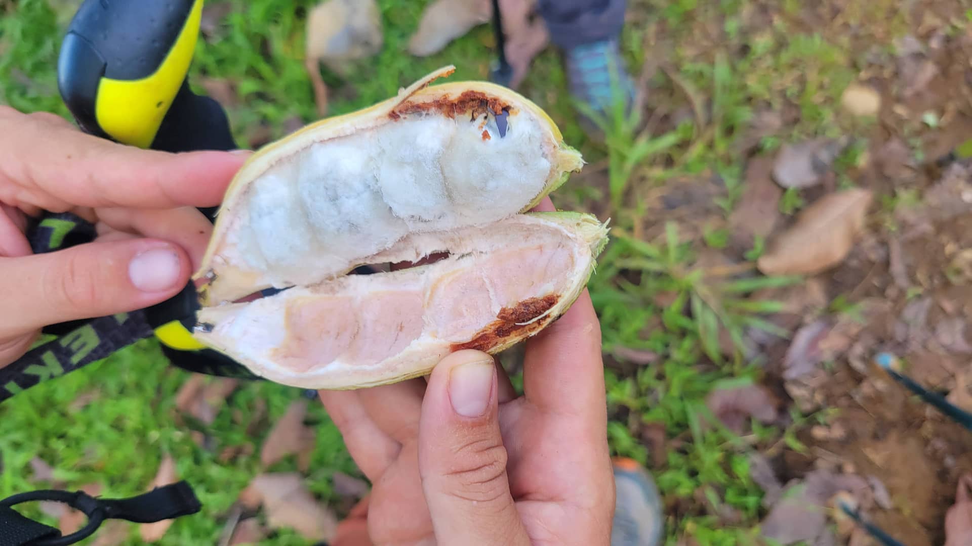
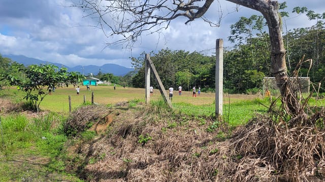
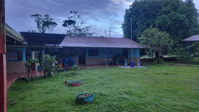
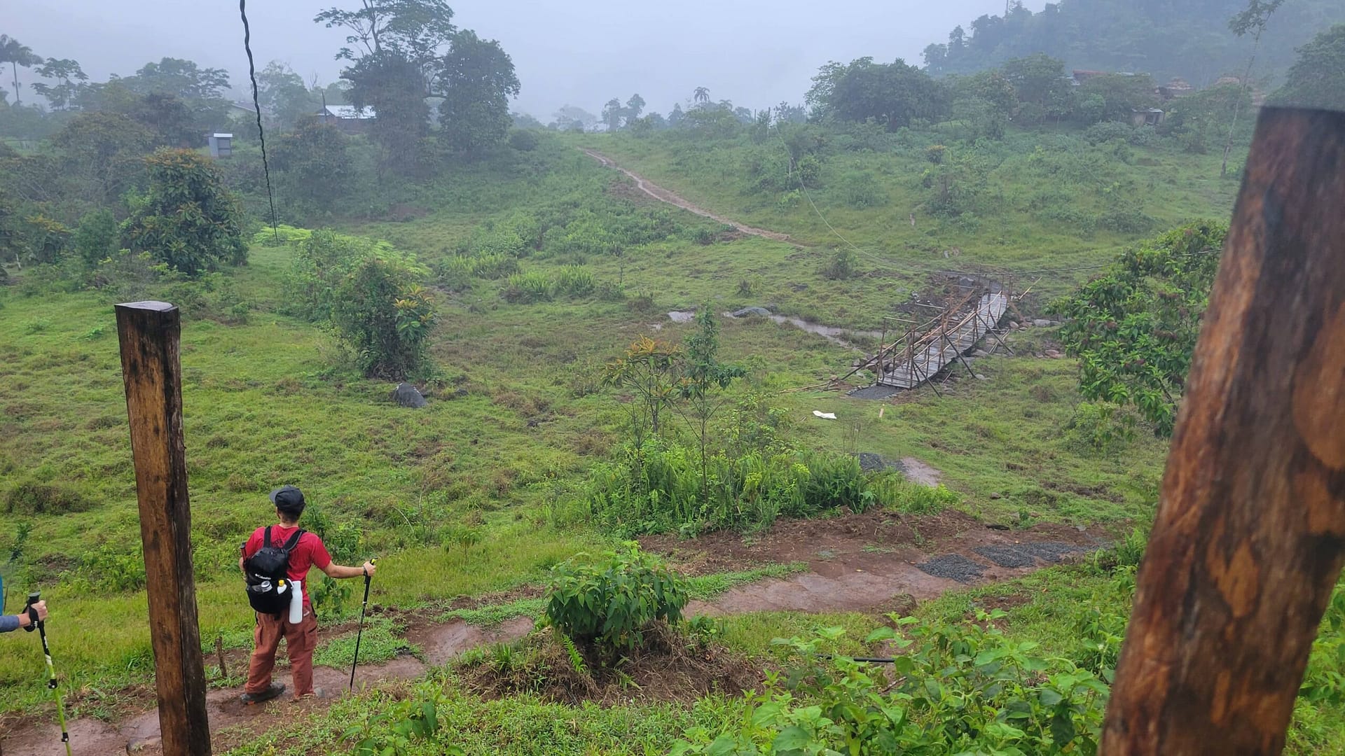
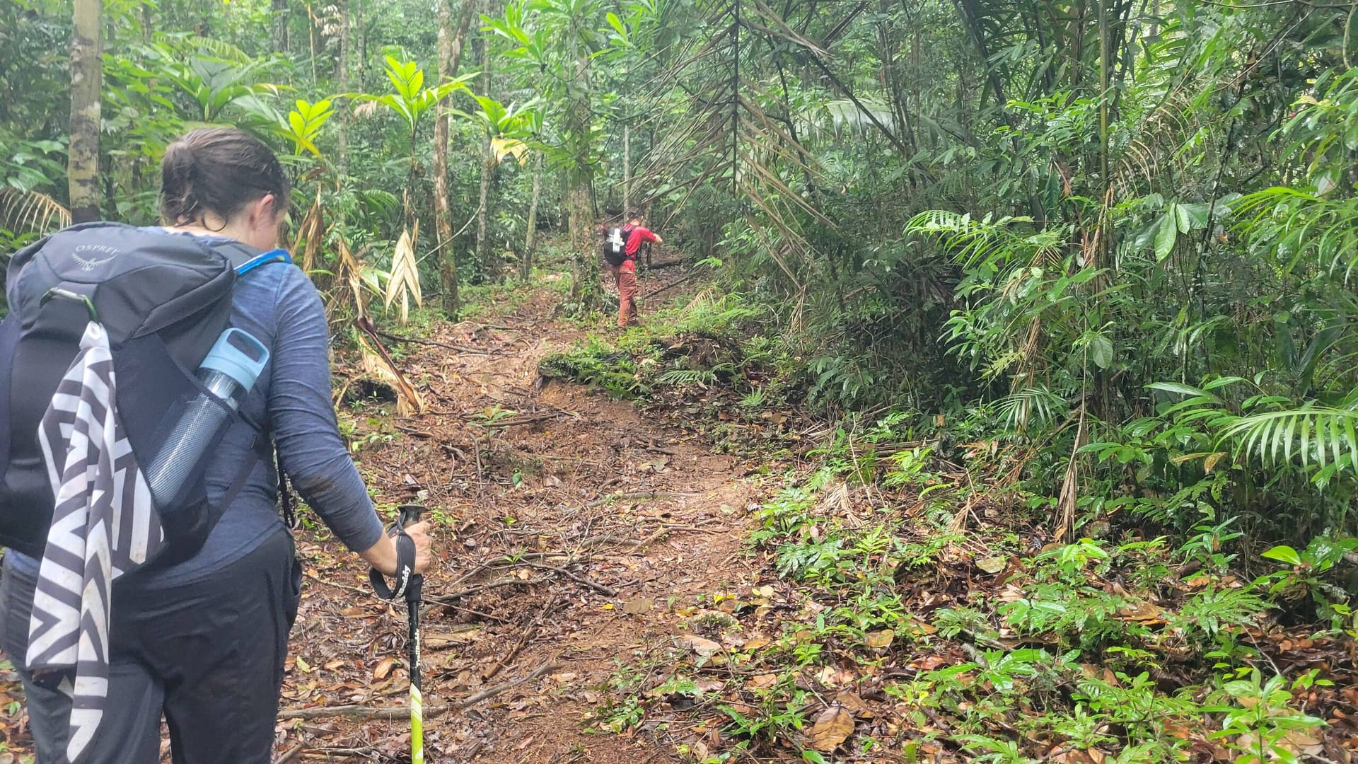
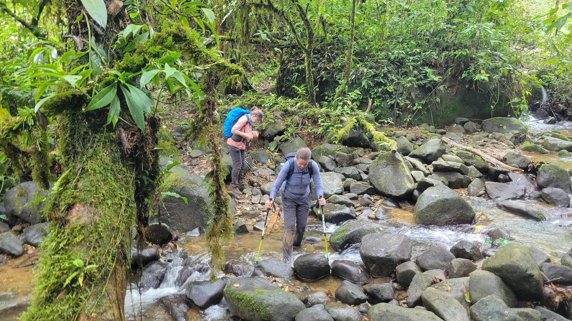
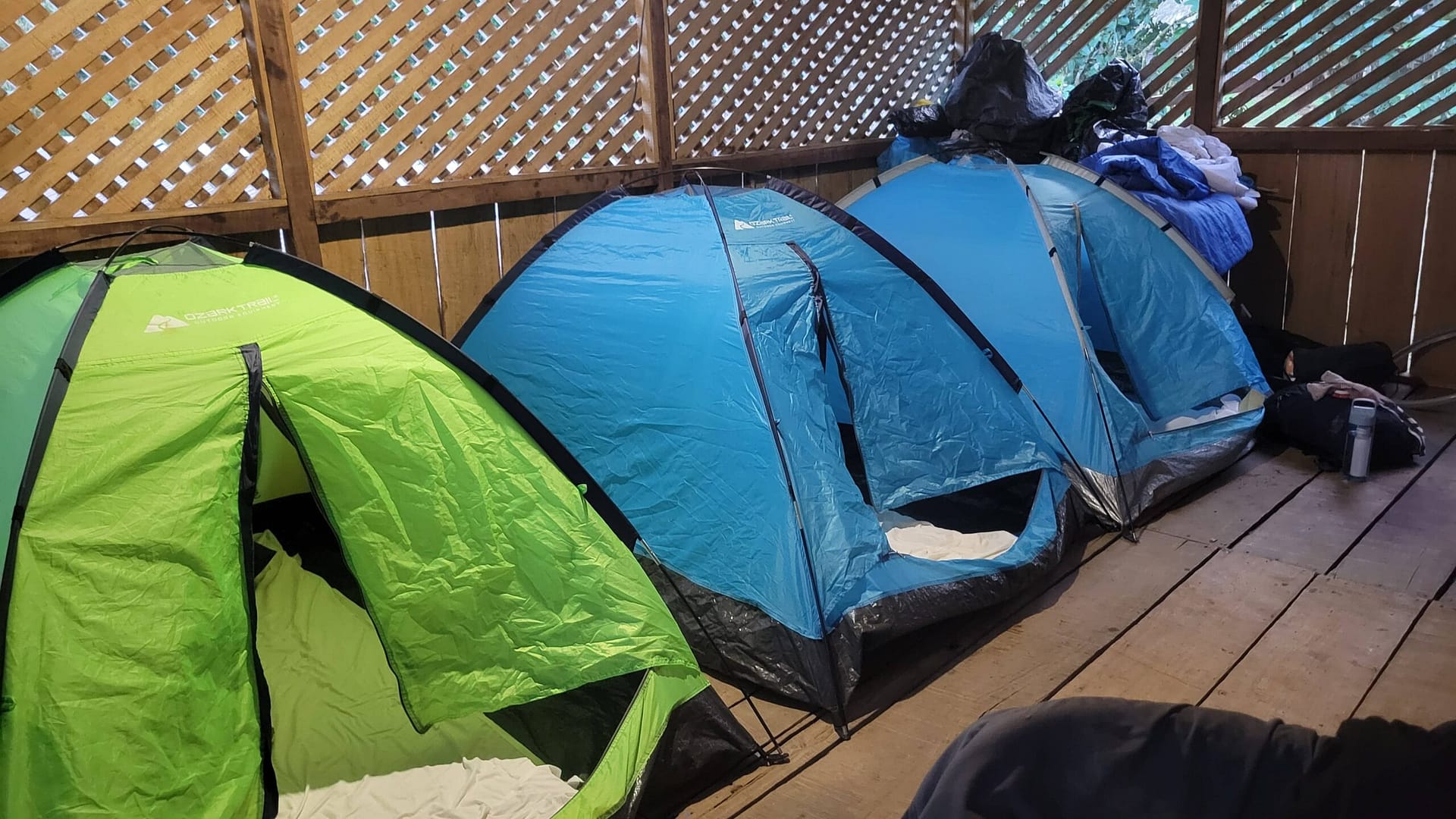
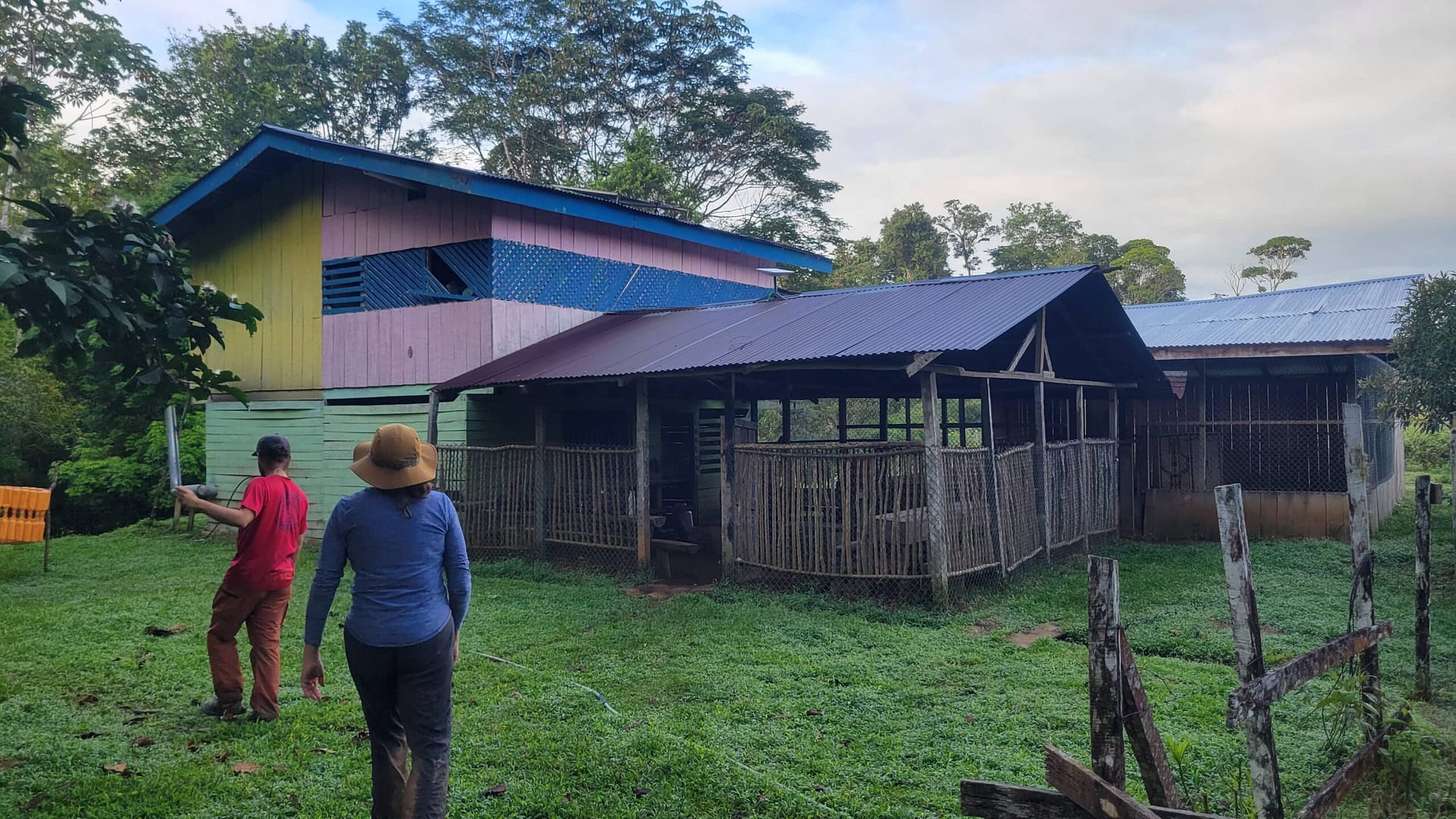
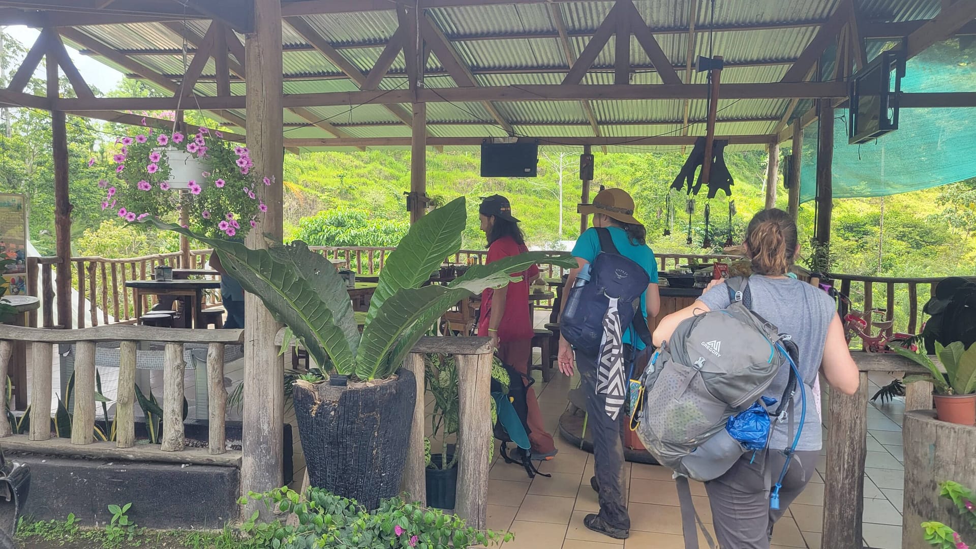
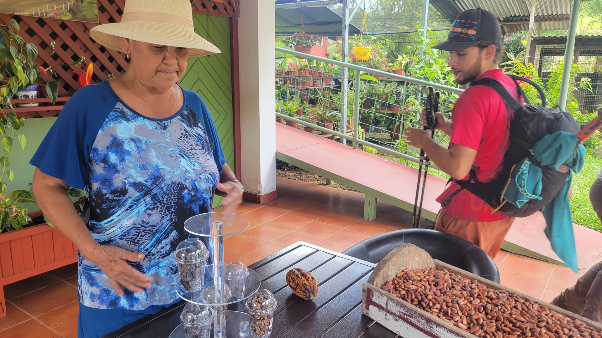
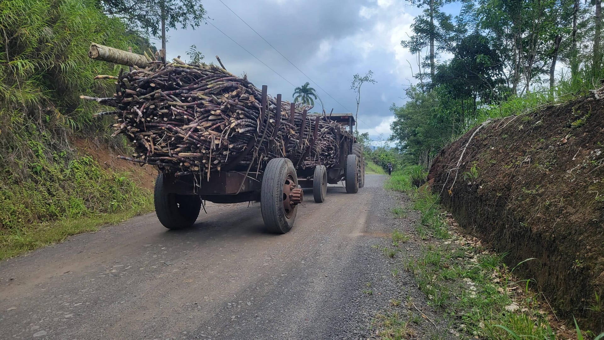
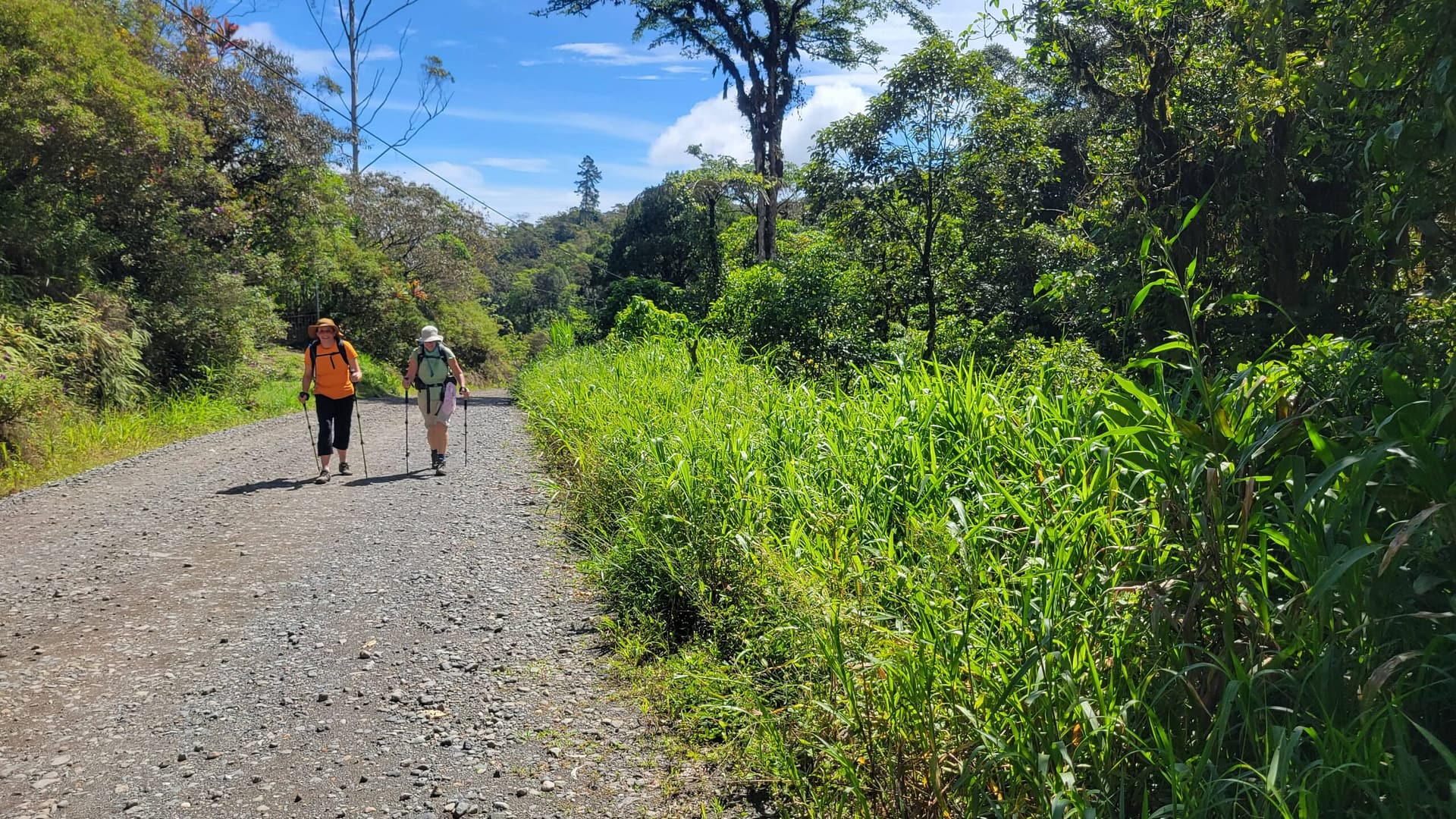
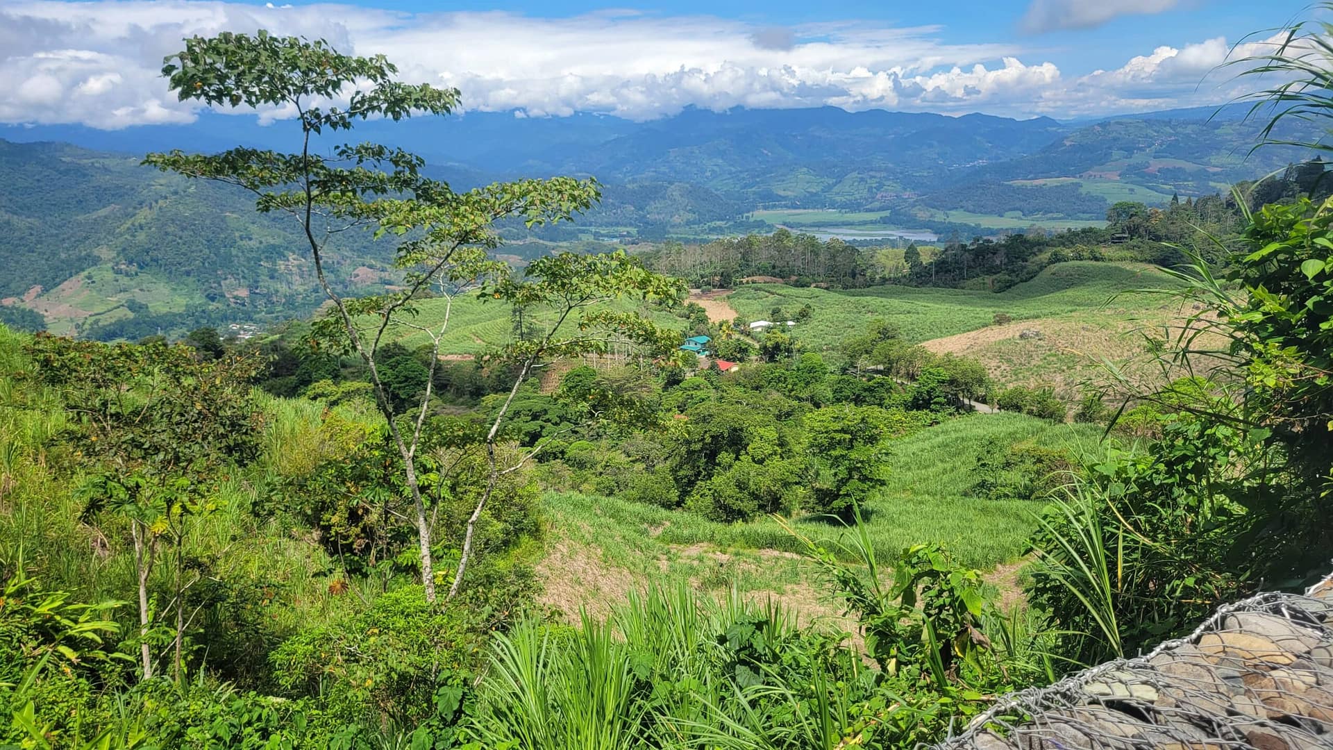
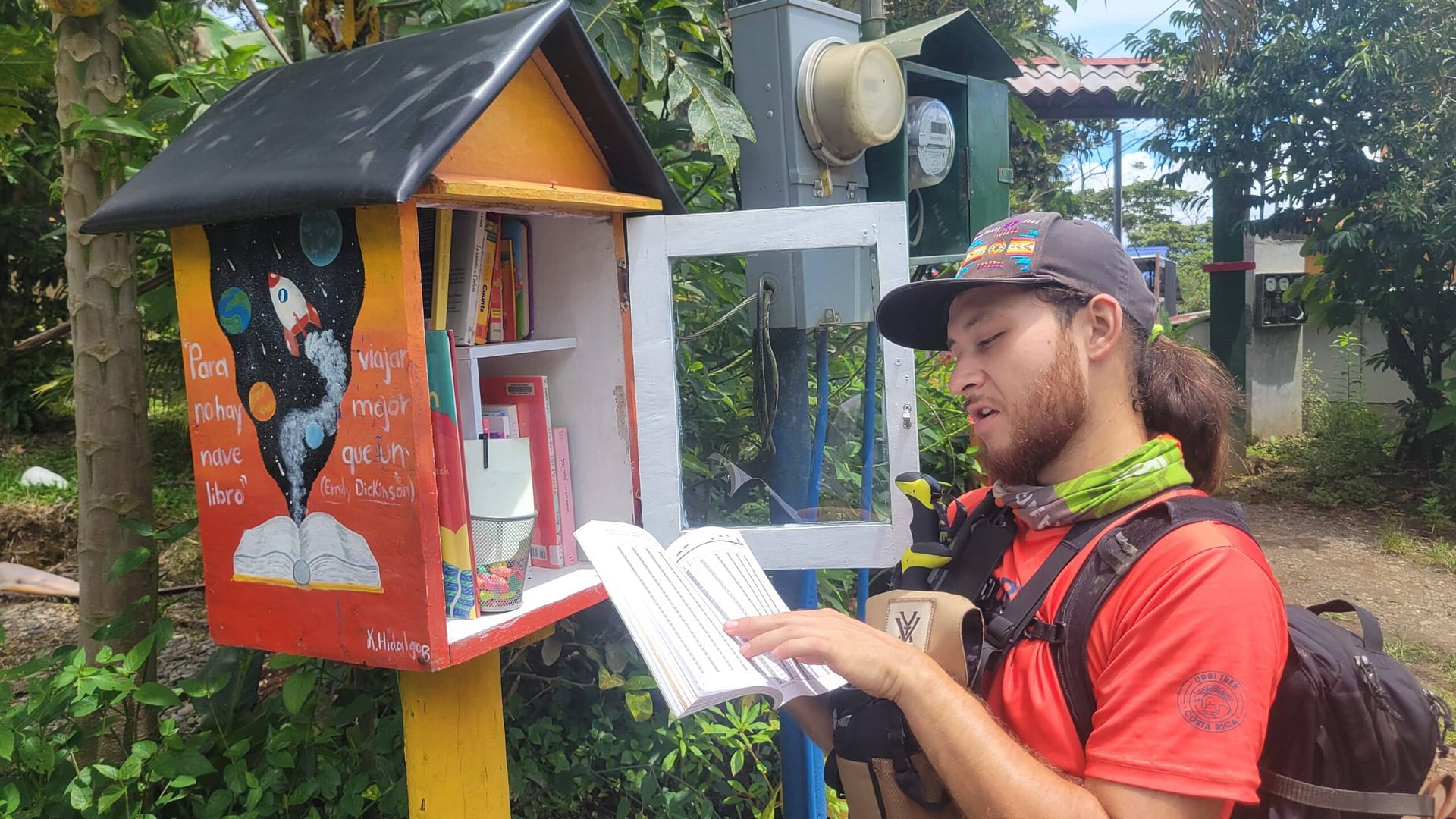
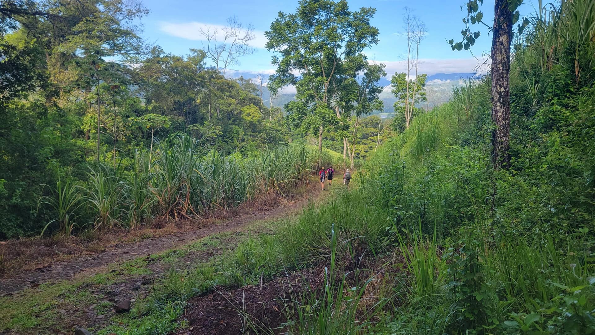
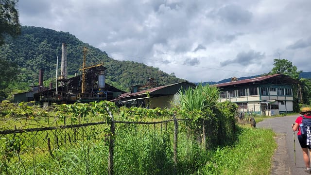
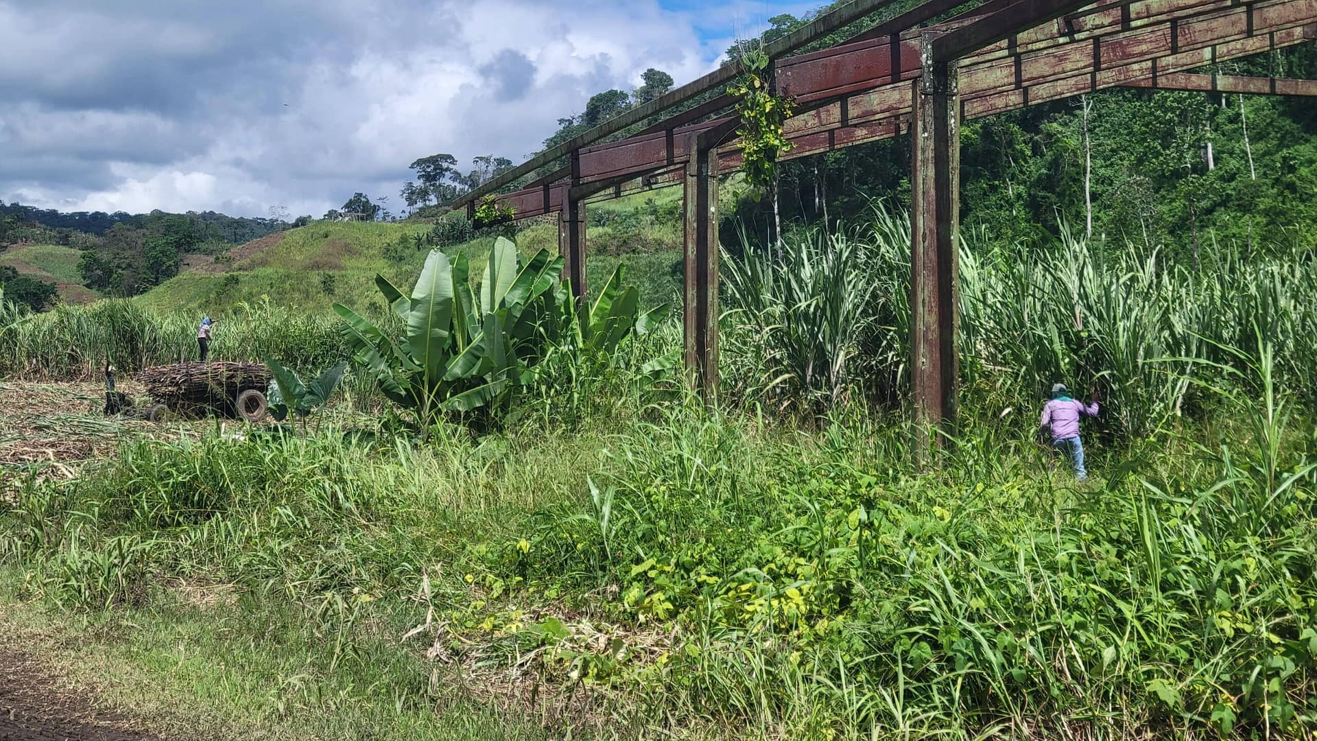
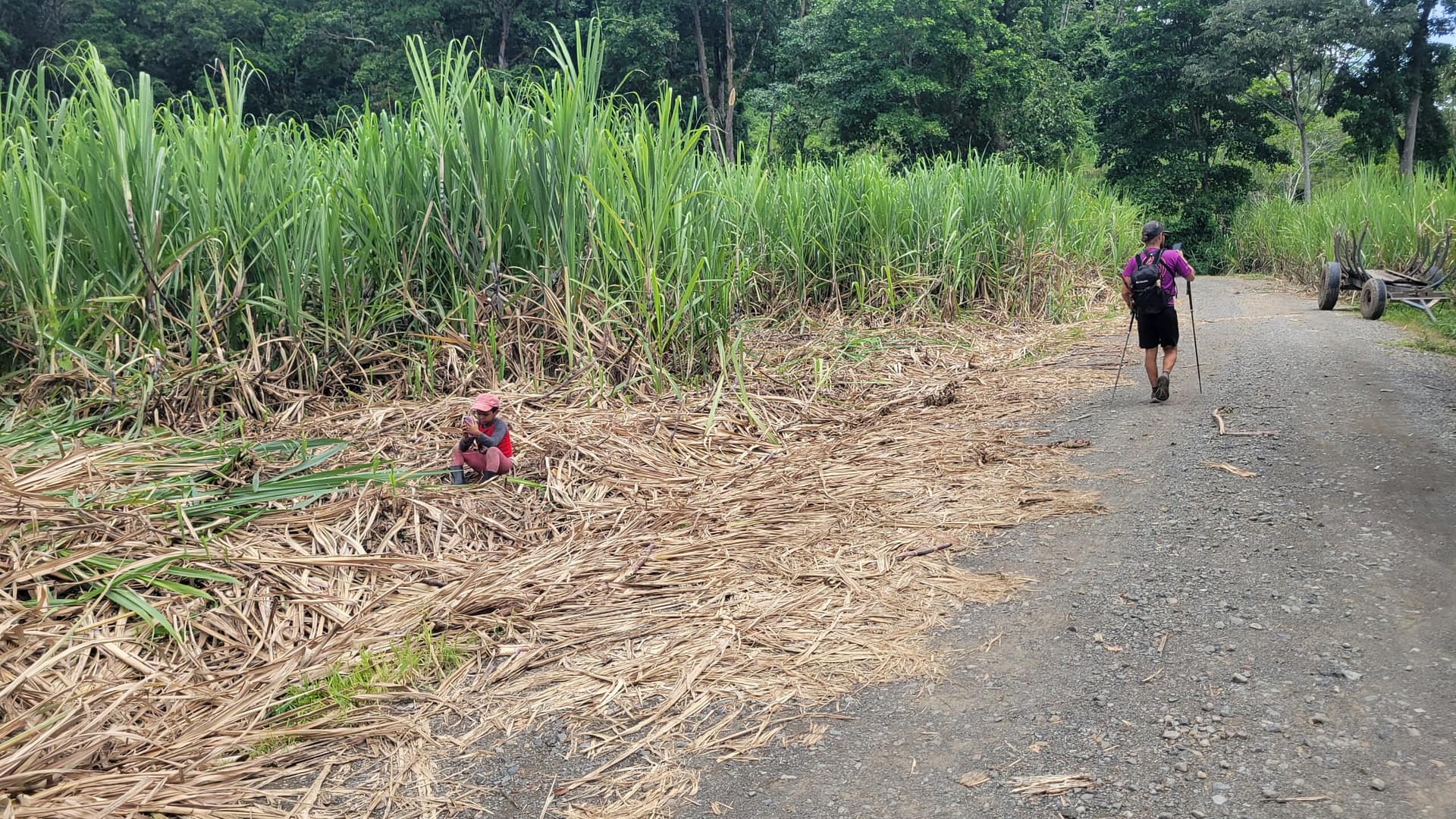
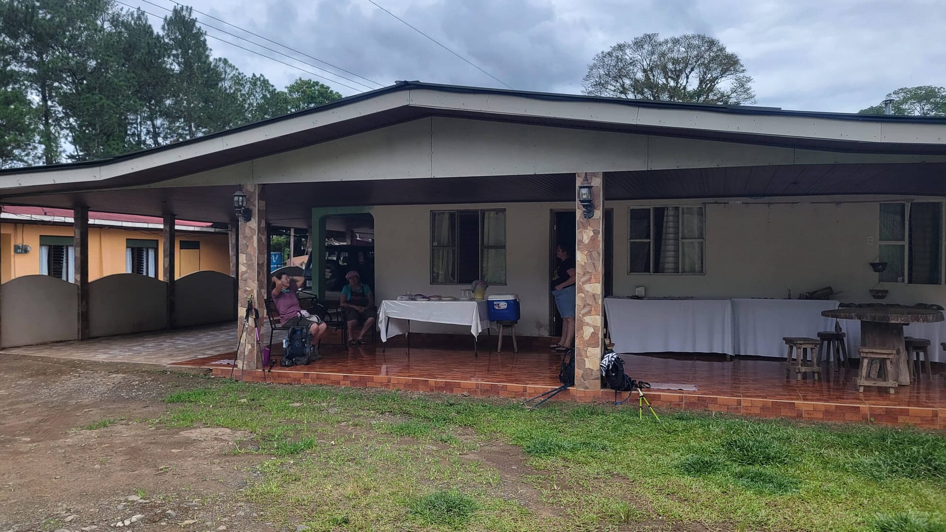
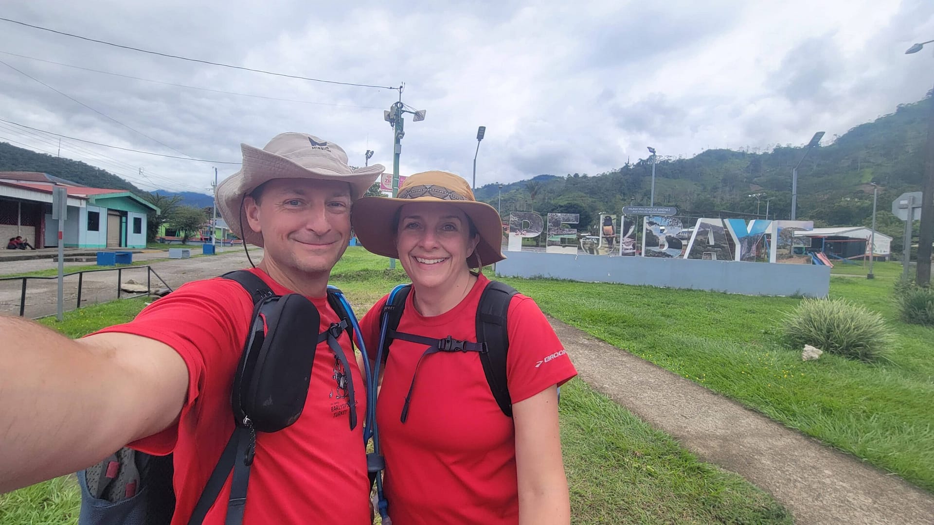
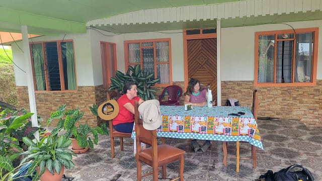
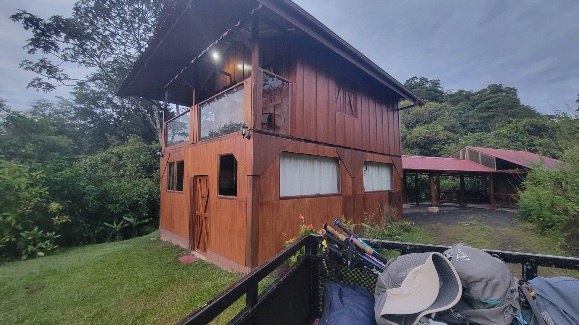
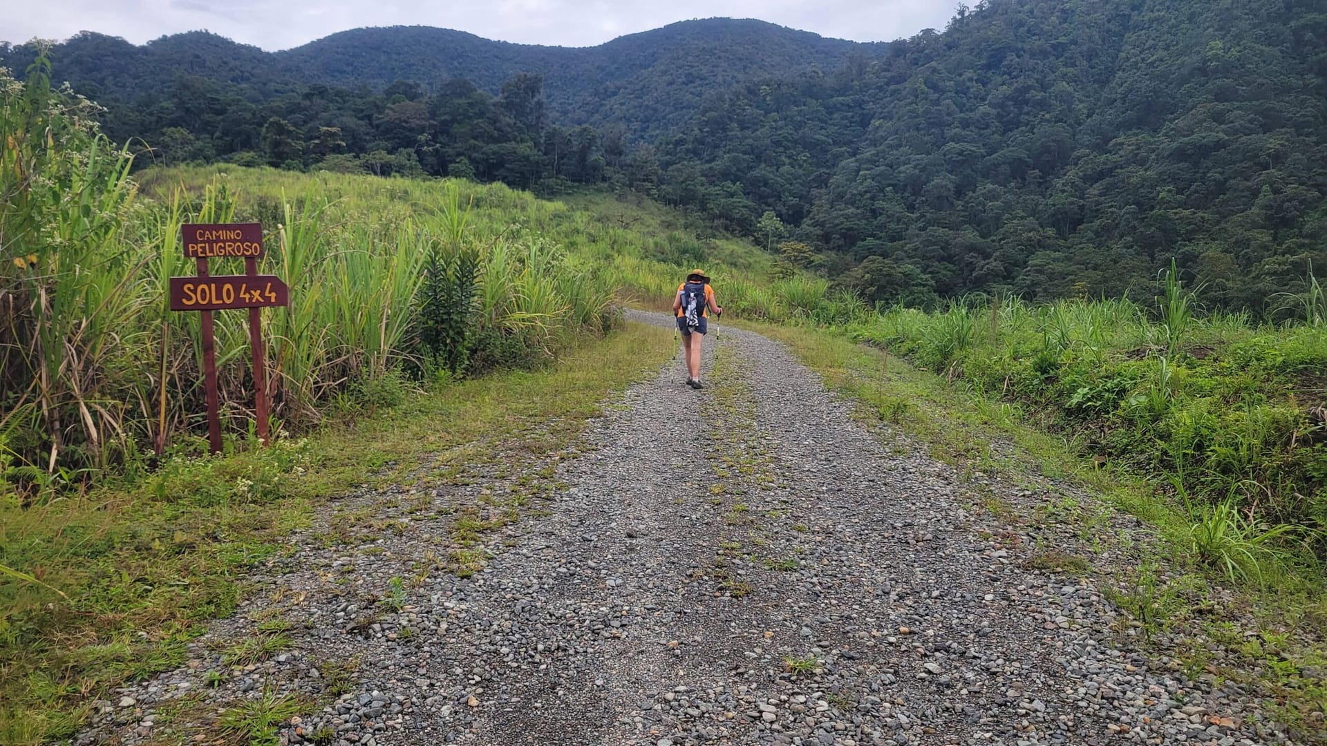
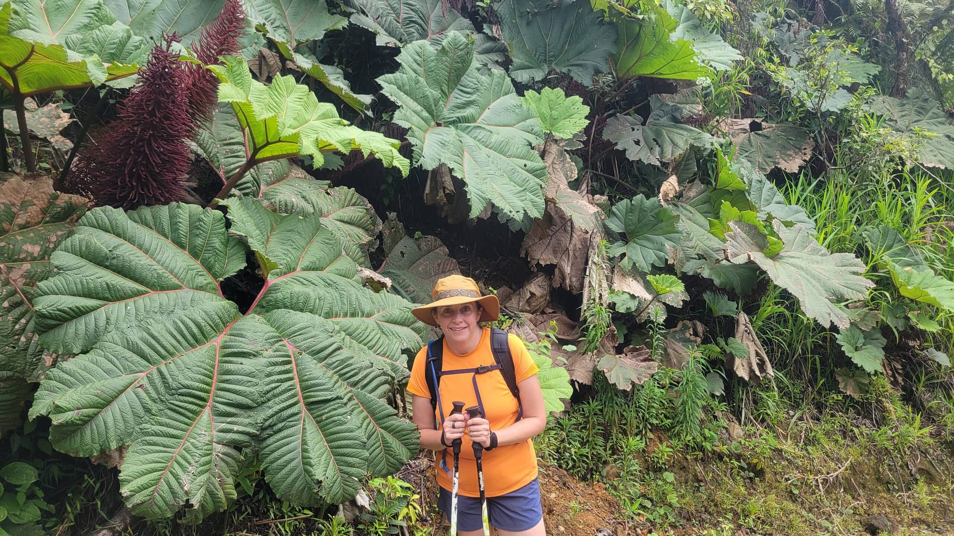
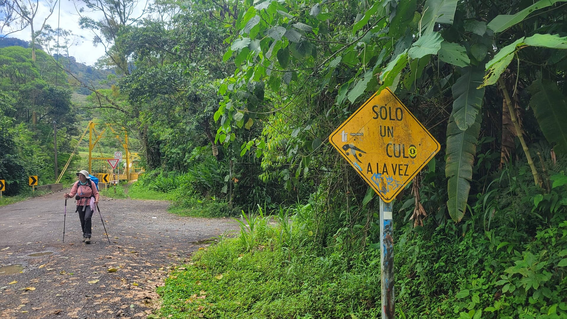
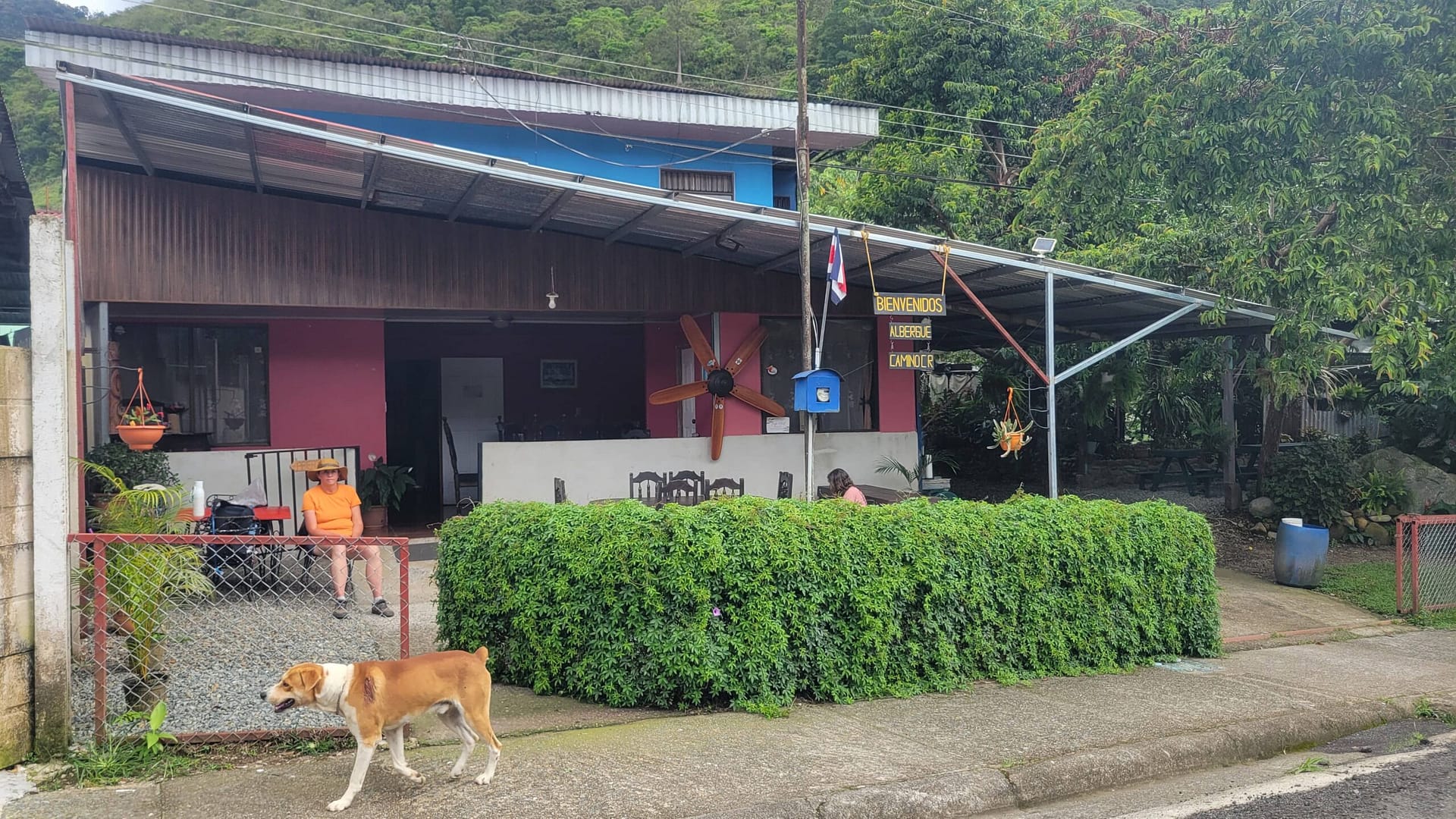
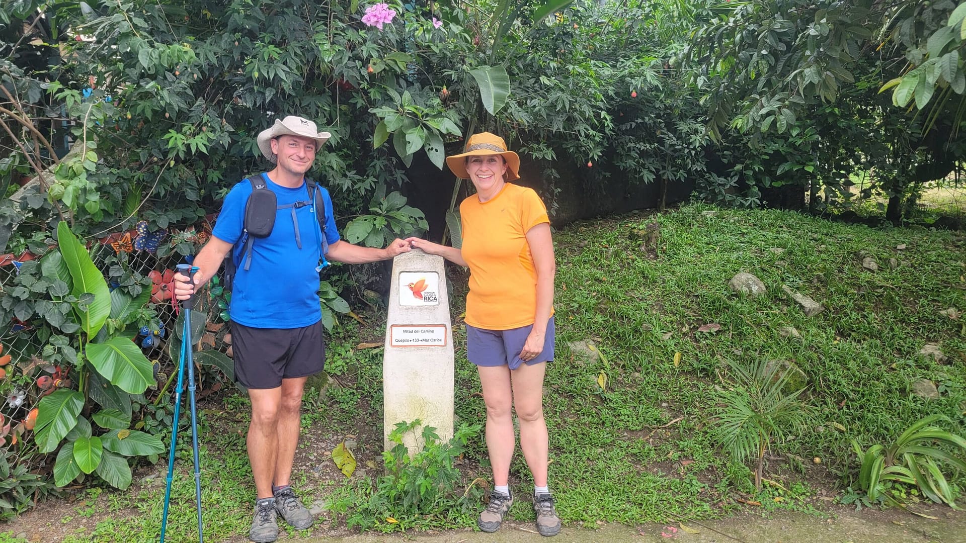
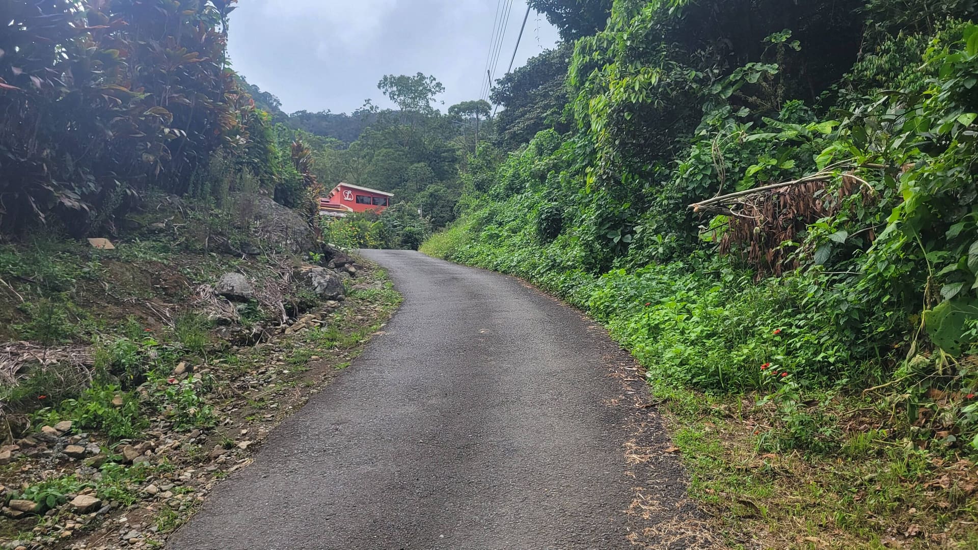
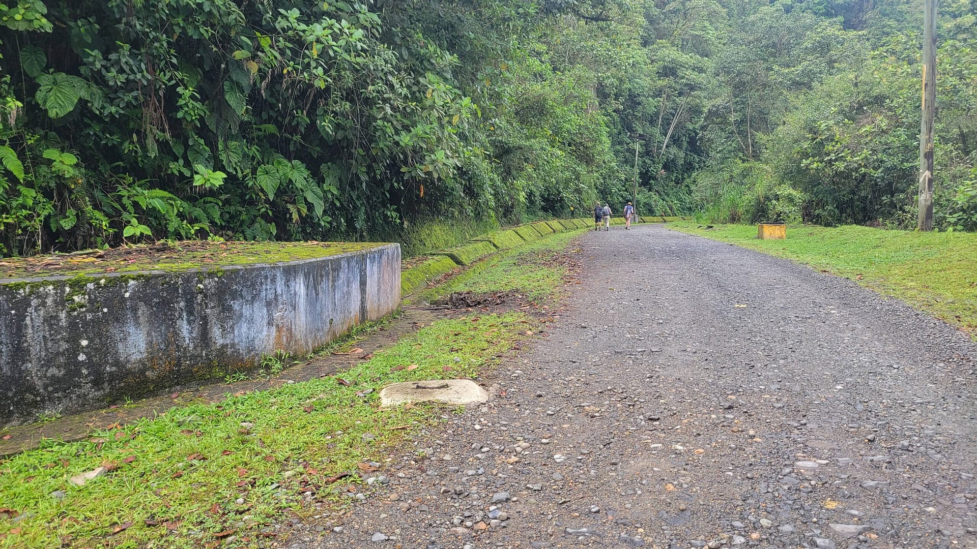
The trail is made up of 16 etapas, or stages, winding across the country from the Caribbean at Pacuare Reserve, Limon, north of San Jose to the Pacific at Quepos, south of San Jose. With over 35,000 ft in elevation gain over the entire trip, the Camino follows mainly rural roads and jungle trails. It gave us the opportunity to meet locals, try new foods, see wildlife up close, and carry nothing but a day pack between nightly lodging ranging from tents to hotels and home stays.
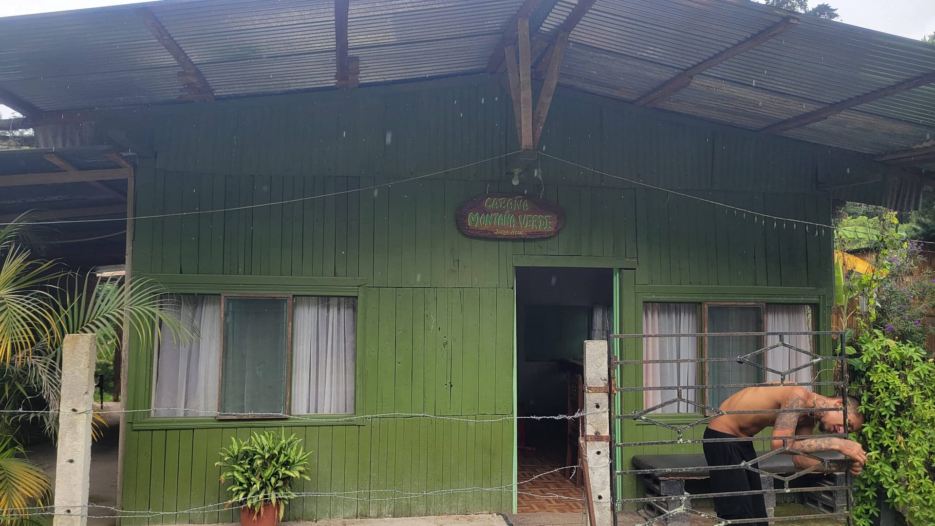
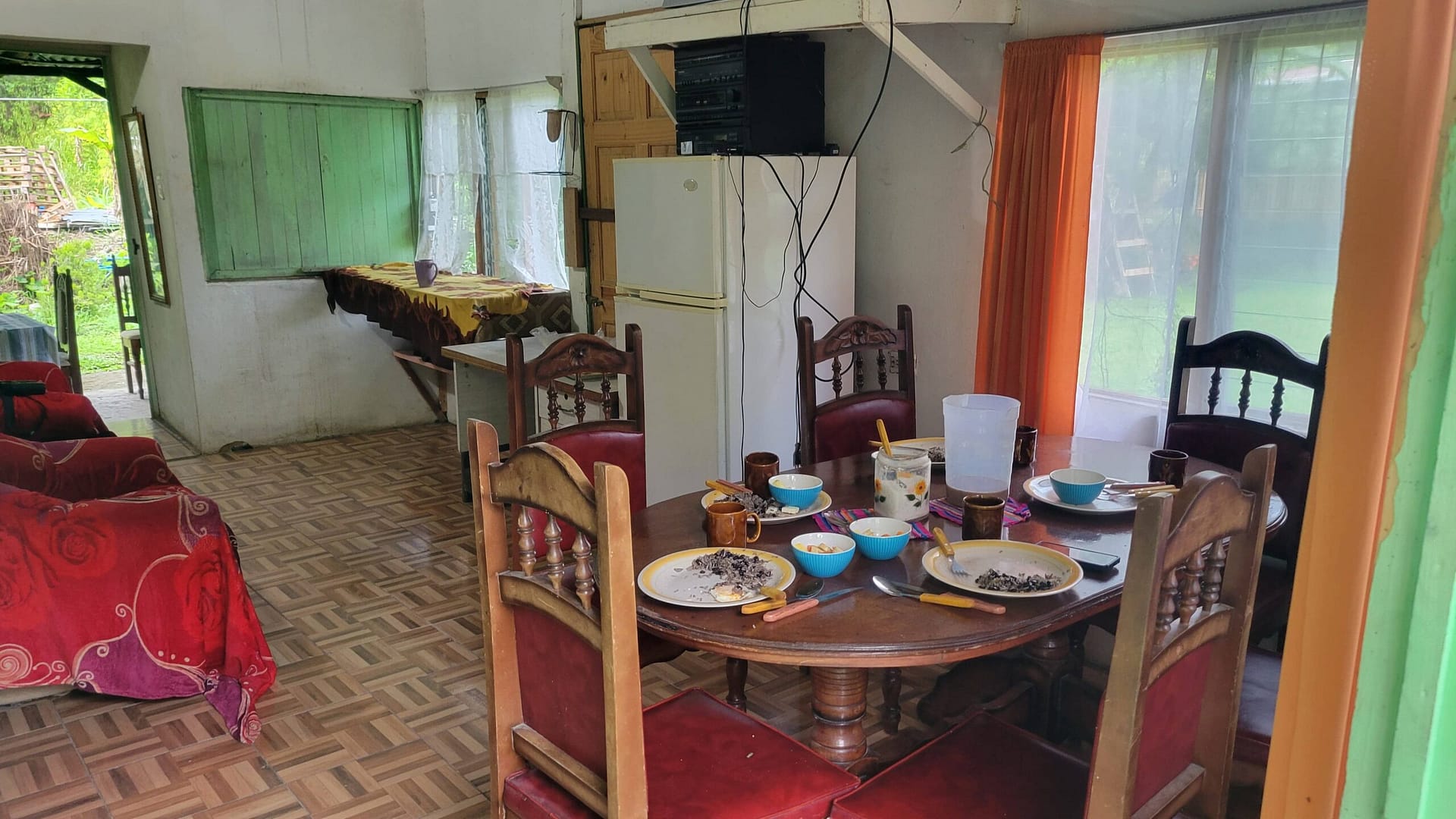
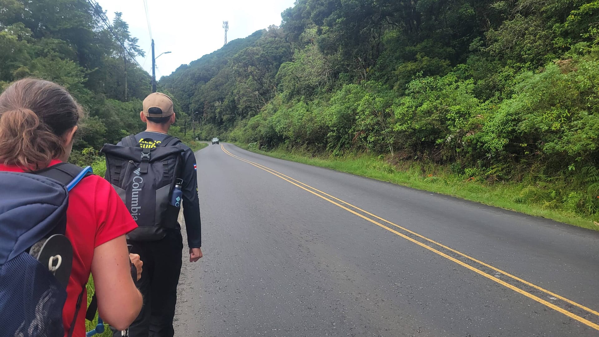
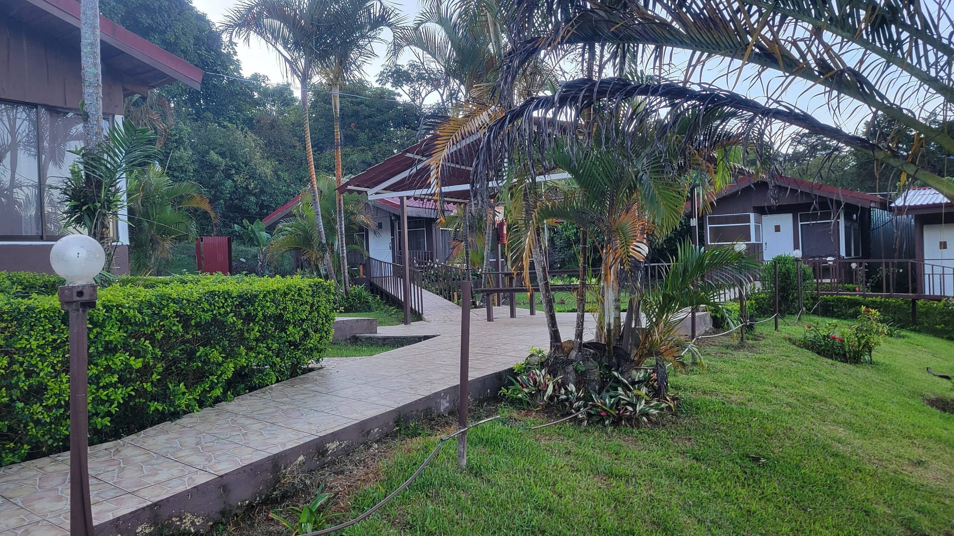
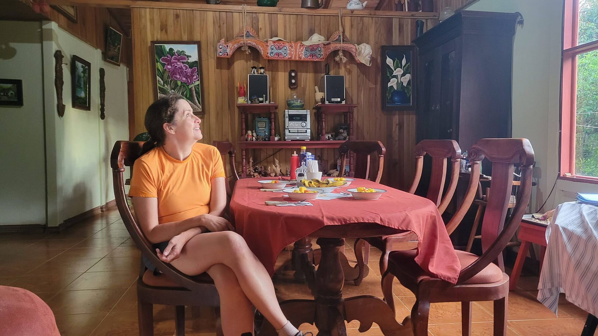
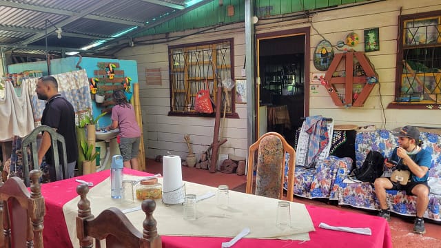
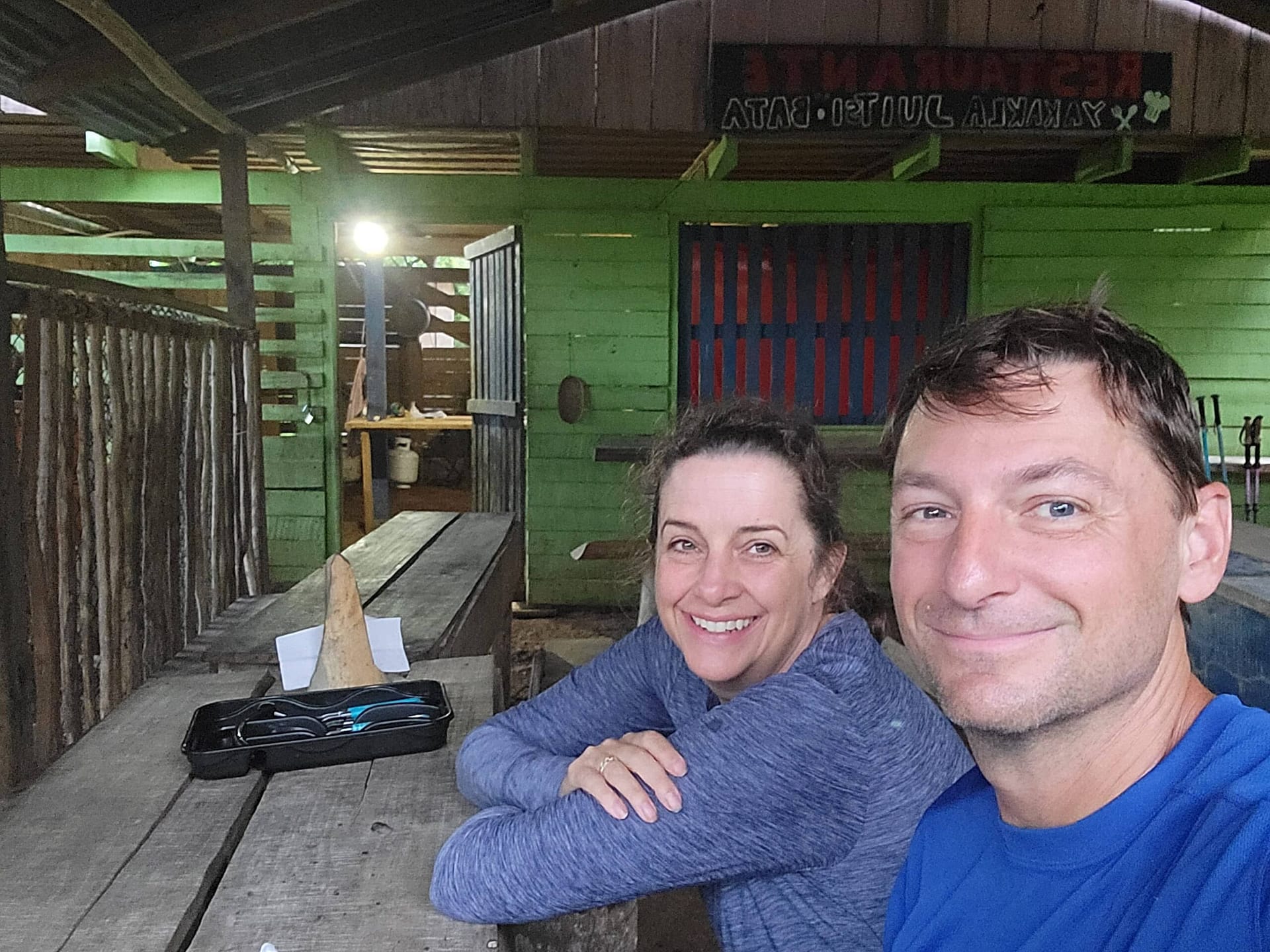
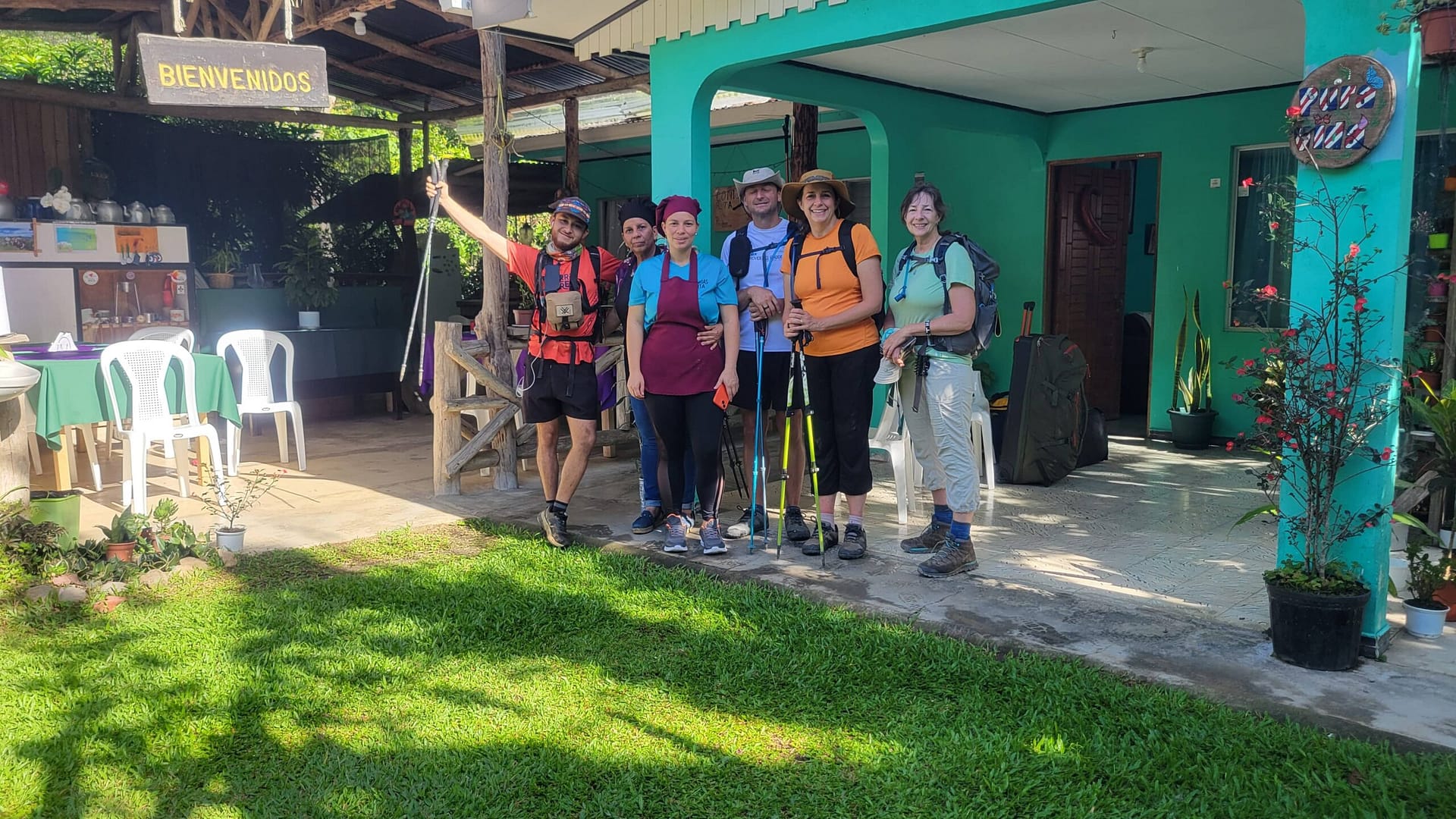
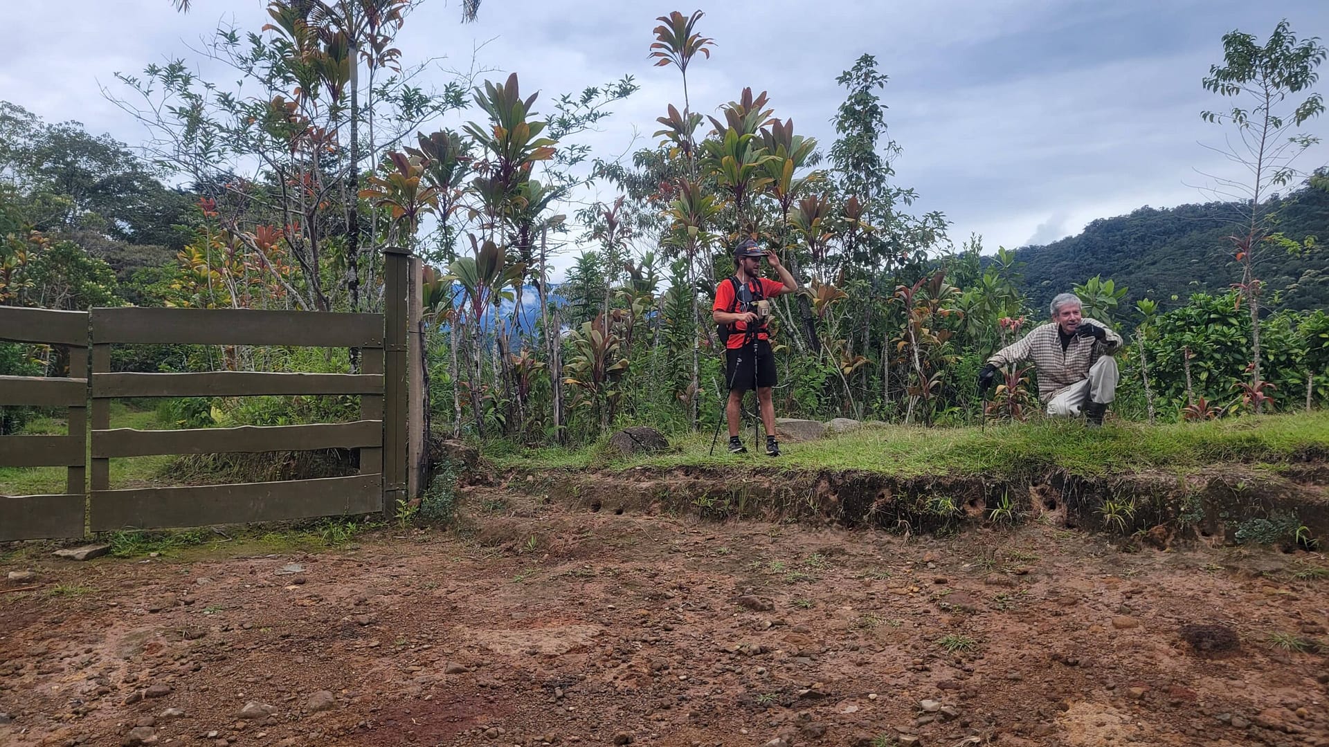
While this is somewhat of a long post, it covers each section of El Camino de Costa Rica as we trekked with Urritrek, one of the founding companies to support hikers with lodging, food, luggage transport and, of course, guiding trekkers across the country. It should be noted that we were off season. It was technically the rainy season and we couldn’t fit into any of Urritrek’s planned hikes so we asked for different dates. One additional hiker was added to our custom dates, but this means we had a very small group of three hikers plus a guide. There were plenty of advantages to being in a small group but the biggest was Hillary and I had rooms/tents to ourselves most of the time and weren’t split into say men’s cabins and women’s cabins as can happen with larger groups. The small group did mean a substantially higher cost, however.
Caribbean to Madre de Dios Lagoon & Stage 1A (3km)
To kick off our walk on El Camino de Costa Rica, we headed off to Limon after a quick stop in San Jose to pickup Venetha, who is joining our adventure, along with Isaac our guide for the first half of the trek. The drive has us heading up and over the mountains on the principle road between the port in Limon and the center of the country. Plenty of time to get to know Isaac, who was born on a coffee plantation and has done nearly 20 or so treks with Urritrek, and Venetha who teaches kindergarten in North Carolina, and has had her own set of adventures from working at elephant and giraffe orphanages in Africa to hiking Kilimanjaro.
Three hours from San Jose, give of take, we arrived at Muelle Goshen (Goshen Dock) along a small canal leading towards the ocean. We hoped in a small boat, piloted by the son of our hosts for the night. He expertly navigates the narrow canal leading to Madre de Dios river and lagoon. The trip is full of wildlife in all directions including Jesus Christ lizards (they walk on water), kingfishers, caimans (small crocodiles), spider monkeys, iguanas, baby blue herons, and so much more.
This region is very sparsely populated, important for fishing and agriculture, and is home to a ton of wildlife including a wide array of monkeys and birds. Madre de Dios (or Mother of God) is an important watershed in the north of Costa Rica with rivers, creeks, and canals coming together to feed the lagoon that mixes with the Caribbean Ocean.
On arrival to Laguna Madre de Dios we made a quick stop to find our cabins and have lunch at our home for the night, Aventuras del Caribe. It’s not much but sets the tone for the rest of the trip; gracious hosts, who reuse virtually everything they can, make amazing food, and provide rustic accommodations. Did we mention the pet crocodile? 🙂
After a quick lunch it’s back in the boat for a ride across the lagoon to a “community” of about a dozen shacks and a school with one student. The community serves mainly volunteers helping the turtles. We walked along the beach a bit to the very first marker with howler monkeys all around and capuchin monkeys overhead throwing things at us.
This symbolic first stage is the shortest by far. It provided the the opportunity to dip our toes in the Caribbean Ocean, hike a few kilometers, and get the obligatory selfie at the very first of the Camino de Costa Rica Markers.
Dipping toes in the ocean was great, except getting the black sand off your feet so you can get socks and shoes back on is no small feat.
After our quick hike we hopped the boat back to our lodging and relaxed the remainder of the afternoon in hammock’s strung at the end of the dock. At 6:30 we enjoyed an open air dinner, discussion of tomorrow’s hike, and watching the bats swoop in for a meal of their own before retiring to sleep about 8 pm under our mosquito net (the only night we used it).
Amenities: Private bath & shower because we were a small group and didn’t have to share the cabin. The shower was cold and just water flowing out of a pipe, power till 10 PM, Wi-Fi while the power was on, fans while the power was on.

Stage 1B - Goshen Dock to Cimmarones (25km)
As per our normal we were up at 4 AM. We couldn’t have slept more if we tried. It was hot, humid, and the roosters and howler monkeys began calling well before sunup. That, and we were excited for our first full hiking day — despite the fact that it was also one of the longest at about 25 km (about 15.5 miles).
It’s probably worth mentioning here that distances are relative. Some markers are placed by Mar a Mar, others by the Government, and accuracy is relative. Seems nobody has carried professional GPS equipment on the Camino. By the end this had a bit of charm, though at first not so much.
After a full gallo pinto breakfast – beans and rice with fruit, juice, and coffee, which we would have every day – we headed off by boat back to Mulle Goshen to begin the Camino in earnest.
Just as the first day (and really every single day) we saw a ton of wildlife. From peregrine falcons to crocodiles, and more sloth’s the day started with lots of flora and fauna.
Today’s hike was all on gravel roads and entirely flat. We hiked through banana plantations for several hours, through the village of Sahara, and toward the end transitioned to pineapple plantations. We saw lots of birds along the way and heard howler monkeys calling from the trees much of the day.
Along the way we stopped at a couple mini-super’s along the way for ice cream and restrooms.


In the banana plantations there are literally thousands of acres of banana trees in all directions. Workers pop up from time to time in small groups. There seems to be no end to pruning, bagging bananas as they ripen, and picking from the trees.
One of the most unique things today was the banana crossing. The workers would literally drop a gate across the road and a runner would pull dozens of wrapped bunches of bananas behind him. All manual labor, and very hot in the afternoon sun.
As we haven’t yet hiked the Camino de Santiago, we aren’t sure how signage compares. However, all along the Camino de Costa Rica you will find stone markers, large signs with kilometers (though not necessarily accurate), these small signs pointing the way, painted humming birds, and red blazes. However, they aren’t as frequent as you might like and I think it would be a struggle to follow the trail without getting lost.


At the end of etapa 2 we stopped at Jolanda’s Place for lunch – more rice, beans, plantains, along with pork chops and chicken. We ate at a table in her back-yard covered with metal roof while the chickens roamed around outside.
Following lunch we were taken by car to Hotel Pacuare, nearby, for the night which included private room and dinner in their restaurant.
Amenities: Think two-star hotel. Private room and bath, hot shower, Wi-Fi, and power.
Stage 2 - Cimmarones to Las Brisas (18km)
Having just eaten our gallo pinto breakfast we rode by car back to Jolanda’s Place to resume hiking from where we left off. We said our goodbyes and made it all of about 50 feet before our guide found a fresh cocoa pod which he pulled off the tree, broke open, and handed us seeds from inside the pod. Each seed is covered in a very sweet outer coating that you essential suck off in your mouth before pitching the seed. Halfway into his explanation the neighbors came out to show us their brain fruit as well. They even went so far as to clean some fresh brain fruit (to make it safe) and give us a bunch to try.


Today we learned about “Costa Rica Flat”. It seems everything that isn’t near vertical is just Costa Rica Flat. After crossing a major roadway we started uphill with an aggressive grade. It was pavement initially, then gravel, and eventually just plain old dirt. Kilometer after kilometer we just kept going up. Little did we know this was a harbinger of things to come. We would have consistent uphill climes each day for more than the first half of the trek – all the way to Cerro de la Muerte (mountain of death).
Once we got beyond the pavement we really saw almost no cars. The air became noticeably drier and breezy as we left the Caribbean coast. We saw plenty of birds along the way, as well as poison dart frogs, plus cows and horses. The road/trail wasn’t particularly difficult other than lots of uphill with relatively modest incline.


When we signed up for the trek we weren’t really sure what to expect with the guides. We didn’t know if they would hike with us or simply point out a route to follow. We were pleased that the guides stayed with us for the entire trek. They were passionate about the Camino and the wildlife. They were able to spot flora and fauna alike that we would never have seen on our own. Case in point, guayava seeds that, like cocoa seeds, you can suck on to extract sweet goodness.
We broke for lunch – beans and rice wrapped in banana leaves about 2/3 of the way through the hike today. As we ate along the ridgeline we were treated to a family of macaws flying overhead. I wish I could have captured a photo as there were 5 to 7 of them, brilliant green, flying in formation overhead.
As we came into the community of Las Brisas we discovered a full blown party underway with a soccer match, music, and home-made alcohol made from corn. We passed on their offer to sell us 2 liters for about $4.


Our guide saw the party and wasn’t sure we would have a local guide for tomorrow. We would have to see.
A bit further down the road we found our home for the night at Escuela Las Brisas. A local came to the school to cook us dinner in the common area, we saw the family of macaws again, and then the rain set in, as it would do every night from here to the Pacific. It absolutely poured, several inches, every night.
Amenities: Tents setup on the walkway between classrooms with a tin roof overhead. We had power to recharge everything and Wi-Fi. Shared bathroom in the school with sink to wash hands and potable water. The shower was out back in a cinder block and wood enclosure. Water ice cold falling from a pipe overhead. As the couple in this small group we had a large tent with sleeping bags, pillows, and foam mattress.
Stage 3 - Las Brisas to Tsiobata (15km)
This stage of the Camino was the toughest day by far. It would have been tough on its own with 9 miles into the jungle on steep, narrow trails. However, when we got started it was already raining. As we got to the entrance to the indigenous lands to wait for our local guide it had started to pour.
As our guide had expected, our local guide was a no-show. Seems most likely too much of the home-made alcohol from the party last night. So we headed in on our own as the rain (and thunder) intensified.
The lands we hiked today were of the Cabécar people of Nairi Awari. Like many indigenous communities, they have been working with the Rivers and Forests Alliance (RAFA) to reforest the Pacuare River Basin in which we are hiking. Much of these lands were taken between the 1960’s and 1980’s for cattle farming. Yale Environment 360 published an in-depth article covering this in March 2023 if you are curious for more.
It rained hard for the first 3-4 hours of the hike today turning the trail into a creek. Not only was it very slow going, but our boots were completely soaked before we ever even hit the first (and deepest) water crossing. It was a bit questionable if we should have even continued but once we hit the river there really was no turning back. In we went, boots and all with support from our guide.

The jungle was certainly beautiful. We saw all kinds of vegetation, though virtually no animals. Seems half the plants in the jungle are named for monkeys. Monkey ladders (vines), and monkey brush (seed pod with spikes on it), among many others.
We were extremely happy to arrive at the village of Tsiobata after 10.5 very long, very wet, hours.
There isn’t much in Tsiobata Village. Only a few homes and a school in the middle of the jungle with no access by road. Everything they need they carry in by hand across a manual cable car that we will use tomorrow. While we didn’t have our local guide, we did, thankfully have a cook who prepared a great meal for us at the community center (dirt floor, adjacent cattle yard). Thankfully, the insects weren’t too bad as we ate.
Amenities: Power for charging, shared bathrooms up by the museum (with a warning to check the corners for snakes before going in), individual tents upstairs from the community center kitchen with thick pads and pillows, Wi-Fi (shockingly), and a shower out back. Like the others, the shower was just a pipe with cold water but unlike the others it had no door leaving you quite exposed, mainly to the pigs behind you. We skipped the shower today.
Stage 4 & 5 - Tsiobata to Tres Equis and Pacayitas (15km)
This morning we awoke to sun and very clear air, thanks to a day of pouring rain prior. We were able to look out across the hills surrounding the Tsiobata community center to see some of the local houses perched on hillsides around us. We took a quick tour of the museum where we learned more about the Cabécar people – their tools, beliefs, and the plants and animals that were core to their way of life.
Most interesting is their traditions around death. It seems when someone dies the body is laid out on rocks for vultures to clean the bones. Then, the bones are placed with others to allow the spirit to move to one of the 3 worlds above earth or 3 below (roughly heaven and hell).
After our tour, we were off by 6:30 am on a bit more single-track to head down to the Pacuare River passing by an 800 year old tree along the way.
Crossing the Pacuare River was a new adventure. No wading, jumping across rocks, or balancing narrow boards. This time it’s a bit of a cable car. A metal box, supported by steel cables with a rope connected to the car and running through pulleys. Hop in, unhook the car from the end and it takes off, thanks to gravity, to the halfway point. Then you have to pull yourself to the other side. Lots of fun but a ton of work to pull the weight of the car plus two people inside.
Finally, across the river its an uphill hike through cattle fields, our guide looking out for any lone bull’s that might be in the fields nearby (which would mean we need to find a new route). Several kilometers later, we arrived at Asada Linda Vista (a small market) for our ride to El Rancho de Cucho for lunch. This was the only time we rode in a car to make forward progress (we rode in others but it was to lodging before being returned to the same spot to walk). This seems to have been to avoid a narrow curvy road that was a bit too dangerous to walk. Side note this stretch also had a landslide a couple days later which buried the road.
El Rancho de Cucho was a very creative roadside restaurant overlooking a valley with tons of birds. We had a delicious lunch plus a show! Check out the pictures on Google Maps to see how the restaurant has been constantly changing over the years.
We had finished lunch by 11:30 and were on the road again but this time only a few minutes before a stop at El Paso del Viento. Here we met Vilma, an enterprising woman (related to Cucho somehow) who has cabins for rent on her property and also hand makes chocolate from cocoa she grows. We had a chance to see toasted cocoa that she would turn into chocolate and bought a small container of chocolate for later.
After saying goodbye to Vilma it was a short hike up Ruta Nacional Primeria 10 to Restaurante El Cruce for a left turn back onto gravel roads and into sugar cane country. We passed through several tiny villages, each with their own tiny schools like Escuela San Pedro (see link to Google Maps for photos). These tiny schools were typical throughout much of the trek.
And of course, fields and fields of sugar cane with workers hiding out throughout the fields.
One surprise was a random stand of pine trees along the way. Turns out they were from Chile in the 90’s and one of a huge number of examples of random attempts at new cash crops in the country – without regard for how invasive they might be.
About three and half hours later Pacayitas came into view. We were still well above it in elevation. Our feet were quite sore as this had been a long day with a stop for lunch in the middle. But we were looking forward to beds and showers at Rita’s Place.
For her part, Rita certainly did not disappoint. Her spot was one of the many highlights of the trip. Rita, and indeed her family, welcomed us to their home with fresh juice on arrival. As was becoming a pattern, Rita has built a business catering to the Caminio with meals, laundry service, and rooms built on the back side of her house. It was a beautiful spot to relax for the night with comfortable places to sit and talk, view the orchid house, or take a nap.
Amenities: Shared bathrooms, private bedrooms with bed and pillow, laundry service, cold showers outside (with real shower heads), hot shower inside, power, and Wi-Fi.
Stage 6 - Pacayitas to Sitio Mata (10km)
We awoke to another beautiful morning after pouring rain overnight. Our clothes had been hung around the house and, while they weren’t dried, we were assured they would sit in the sun a bit to fully dry and would be packed up and sent along with our luggage. After a great breakfast, photos, and goodbyes, we were on our way heading to La Suiza (the Switzerland of Costa Rica) and ultimately Sitio Mata. The views today were outstanding and really did remind you of Switzerland.
When we hit El Silencio we had a bit of a distraction as we arrived at Aldea de los Pitufos, literally Smurf Village. Mario seems to have built himself quite a hobby over the years, creating works of art from concrete including a few bulls that pee (yes) and many Smurfs. He asks a small donation which we were happy to give to get a tour of the property. His latest creation (below) was started when COVID began in early 2020 and took him about four years to complete.
We arrived at our destination by noon and were promptly served a great lunch by our hosts for the night at Cabaña Aromas del Campo Sitio de Mata. After sitting on the balcony of our cabins watching the thunderstorms and rain stream across the valley and engulf us, we eventually headed back to the other house for dinner. That night we met two new hikers, a father daughter team from Denmark, and their guide who would be at the same lodging with us a couple times. They were doing the trek in 11 days vs our 16.
Amenities: Private rooms in shared cabins, shared bathroom, cold shower, kitchen with microwave (to make tea), power, and Wi-Fi, amazing deck to sit on and watch the clouds overtake the valley and then dump, and dump, and dump.
Stage 7 & Part of 8 - Sitio Mata to Humo de Pejibaye (15-20km 'ish)
This morning we awoke to a bit of a surprise, though apparently it’s not that abnormal. Off in the distance Turrialba Volcano was putting on a show, releasing steam from the crater.
The air had cleared after the overnight rains and we were ready to go. Today was going to be a long’ish day though we never really had a clear understanding of exactly how far we went.
After a quick breakfast we were off by 6:45 am. We had a quick visit to Gerardo’s Orchid Garden down the street before heading downhill into the sugar cane fields once again.
As we hiked downhill on the muddy 4×4 road we had the Talamanca Ridge off in the distance, and the Cartago Valley – the breadbasket of Costa Rica – before us. After a quick creek crossing we passed several homes, seemingly located in spots where one goes to hide from civilization.
Before we knew it we were at the bottom of the valley, passing through La Cruzada before walking along next to Angostura Lagoon fed by Rio Pejibaye. We knew the lake was there, mind you, but we never actually saw it after hitting the valley floor.
As we passed through Atirro we saw yet more evidence of what has happened in many of the small communities in Costa Rica. At one time, decades ago, large sugar cane processing factories have been built, employing large numbers of people. Be it from mis-management, corruption, or even shutdown of the railway, these facilities now sit rusting and the people have moved on.

That’s not to say that sugar cane is not a major crop in Costa Rica today. It’s just the processing seems to have been consolidated significantly.
Just outside town we turned off into sugar cane fields again where we saw plenty of people working in the fields, trimming, harvesting, spraying pesticides (no respirator’s to be seen). We learn that almost all of this work is now done by Nicaraguans instead of Costa Rican’s who don’t want the low pay and poor conditions found in the fields.
Finished one set of fields, we walked along Ruta Nacional Secondaria 225 a short bit to Bar Gereni where we found another Camino marker for Stage 7. As with many of the markers, there doesn’t seem to be any particular rhyme or reason to where they are placed. There wasn’t anything notable here, other than more or less passing 100km since our start, and we plunged on into another set of sugar cane fields.
To my surprise, we happened across a small boy, probably 3 or 4 years old, playing with a phone along the gravel road while parents worked in the sugar cane fields nearby.
Finally at about noon, or about 5 hours after we started, we came across ArteCoVa where Doña Pilar and her daughter were selling home-made arts and crafts along with ice cream and fruit. Yet another example of an entrepreneurial woman in the middle of the country creating a business to add income catering to trekkers along the Camino de Costa Rica.
We, of course, indulged in the delicious coconut ice cream she offered for a few hundred colones.
The family property included a farm with pigs and other animals as well as a variety of crops so the souveniers and ice cream just helped provide a bit more income to the family.
Our stop at ArteCoVa was also notable as a purchase was implied to be somewhat obligatory for passage across the Pejibaye River on a footbridge on their property. Seemed a bit odd but very much worthwhile to avoid several additional kilometers along the road.

At long last we made it to Pejibaye (technically Humo de Pejibaye) at about 2 pm for lunch at the home of our host for the evening. We had a wonderful lunch on the patio before being trucked up to Cabaña La Margarita for the night.
Like Atirro, Humo de Pejibaye also had the remains of a sugar cane processing plant rusting on the edge of town. Yet the town still seemed to be vibrant with plenty to do, unlike others in the interior.
A quick note on the town’s namesake. The Pejibaye is a rainy season fruit from Pejibaye Palm trees, often called Peach Palm. This fruit is boiled in salt water and peeled, removing the seed before eating. They are often filled with mayo, ketchup, or sour cream. I really wanted to try them but unfortunately they were out of season.
Amenities for the night: Individual private rooms, great mountain breezes with the windows open, power, Wi-Fi, shared bathroom with cold shower, kitchen, balcony overlooking the valley, minimal dogs and roosters. 🙂
Last of Stage 8 - Humo de Pejibaye to Rio Macho (15km 'ish)
Bright and early we were picked up from the cabin and driven back to Humo de Pejibaye for an early breakfast. We were on the road again just after 6 am for our trek up into the cloud forest. This meant, of course, starting the day with a steep climb up into the mountains. Today we were following Ruta Nacional Trecieria 408 which started off as pavement. However, each km we hiked saw the quality of the road devolve to gravel, 4×4 only, and mountain trail traversed by only the most intrepid (nuts) drivers.
As usual, aren’t sure exactly how far we hiked today. The first part of the hike passed by lots of small cabins, used by locals or folks from the city, coming out for mountain air on the weekends.
We were heading higher and higher, transitioning from tropical rainforest to cloud forest with more birds, plants, and animals than you can imagine. One in particular was a laughing falcon that called from close by sounding very much like it was laughing at us.
Route 408 wound its way ever higher and as we reached the first of two mountain tops, between Taus and Selva, where we came across Piedra. He told us in mixed English and Spanish that he had lived at the top of this mountain for 25 years, waking up at 4 am to work a couple hours each day, tending to a reserve, and going to bed at 5 or 6 pm. He also told us he hadn’t spoken to anyone else in two and half months. I’m quite sure he was pulling our leg but it was very remote, he was a character, and spoke Spanish clearly and slowly enough that I could have a short conversation with him.
As we continued up to the second peak of the day the “road” turned mainly into rocks barely wide enough for a vehicle with a small creek running down it. There were tree ferns and moss everywhere, and one of my favorite things, bromiliads on about every tree branch and trunk in every direction. The air was clear and cool making it one of my favorite parts of the camino.
We were clearly in the cloud forest for quite some time and our guide, Isaac was able to point out a ton of birds and plants as we went. Have I mentioned how important having a guide is? Not simply for helping find the way, but both of our guides had a near encyclopedic knowledge of the flora and fauna.
Check out this Sombrilla de Pobre, or Poor Man’ss Umbrella next to Hillary.
After cresting the second mountain, and a passing a small village where we saw a coati, it was downhill again with the road quality getting better and better the closer we got to Rio Orosi and the bridge across it. The valley below was beautiful. We could see the yellow bridge, Puente Rio Grande de Orosi, on the valley below, the rooftops of Purisil where we would have lunch, and fields of cattle from a milk production business.
I find it interesting that virtually all the bridges we crossed were very old and came with a sign “puente en mal estado” or “bridge in poor condition”. This one was better than some. One bridge even had a hole in the concrete allowing you to view the rebar inside and the river below.
Note the sign here which is a bit worn. “Solo un culo a la vez” or “only one ass at a time”. It should have been “vehiculo” but its still amuzing.
Seven hours after we set out, we finally made it to Puricil and lunch and an alberge (hostel) catering to pilgrims on the Camino de Santiago. The food, and especially the fresh fruit juice was especially welcome though we still had about 90 minutes of hiking to go. Check out the photos on Google Maps to see inside a typical mini-super where I got something for later.
After we finished eating, we found, surprise surprise, the halfway point of the camino was right next door. We’ve gone 133 km’s with 133 km’s to go (give or take)!
At long last, about nine hours after we left Humo de Pejibaye, hiked over two mountain peaks, crossed the Orosi River, had lunch, crossed the halfway point of the Camino, hit the outskirts of the village of Rio Macho, and then hoofed it up yet another steep uphill climb we arrived at RIo Macho Lodge (before the rains) — our home for the evening. Here we re-connected with the Danish father-daughter group, had a great dinner, said our goodbyes to Isaac and met our guide for the second half, Alejandro.
We were told that Urritrek doesn’t typically swap guides mid-way through. In this case Isaac had long planned a personal vacation so his employer was kind enough to make it work for him. This worked fine for us. In the end, it gave us a bit of a compare/contrast between guides. They were both great, had their own personalities, and had different pet passion areas around the plants and animals of the camino.
Amenities at Rio Macho Lodge: Private bedroom, bath, and shower with hot water, laundry service for a small fee,. power and Wi-Fi.
Stage 9 - Rio Macho to Navarro (18km)
Day 9 was probably one of my favorite days on the Camino, though so many could compete for that title. As usual, we started with a steep climb uphill and out of town. Unlike so many other days, as we hit higher elevations the road conditions remained good, with the surface gentle on the feet.
As it turns out, we were not only in cloud forest again but we were also in a large area of water collection featuring a mountain reservoir, many smaller concrete collection areas for water, and tons of concrete channels to facilitate collection.
The local water utility takes advantage of this water collection not only for drinking water, which by the way has been drinkable virtually the entire trip (no GI distress as a foreigner) but it’s also used for hydro power generation.
Along this stretch, high in the mountains, we saw plenty of other people hiking and mountain biking – it seems to be a great spot for locals to get some fresh air.
This stretch of the Camino also featured lots of birds including an Emerald Toucan that we saw high in the trees. After some time in the cloud forest we began the steep descent down into coffee plantations towards Navarro and ultimately Navarro del Muñeco.
On the way down we found at least two different fossils of sea shells, just lying on the trail amongst the coffee plantations – a reminder of geologic and volcanic forces at work that formed the isthmus of Central America millions of years ago.
At about noon we rolled into Navarro del Muñeco. Calling it a town would be generous but at about 12km from Cartago it was both the closest we would be to the city the entire time and a vacation escape for its residents. There are plenty of cabins and mountain bikers who come out to explore. It also featured the worst bridge of the trip — one with a hole in the concrete and a great view to the river below. In fact, signs at the bridge encourage you to drive through the river as an alternative to taking the bridge.
Our lodging for the evening was Cabaña Montaña Verde, a collection of cabins seemingly in the middle of nowhere. We were met by a young man, heavily tattooed, trying to open the gate for us and I found that first impression leaving me wondering what we walked into.
This stay turned out to be the biggest surprise of the trip. At first glance the cabins appeared very run down with junk all over the property.
However… When I looked closer there were a number of things that really impressed me. First, what I took to be junk seemed to be lots of things cast off by others (trash) that they had collected to re-use. Case in point were piles and piles of pallets. They had turned these in to fencing, furniture, siding, and other things across the property. Further, it appeared they had built, by hand, a couple pools on the property, both for guests and for their young children who seemed to be having the time of their lives. And then there was the food. Our hosts really shocked me, going above and beyond with two different types of flan served at both lunch and dinner! What I had taken to be a bit of a dump (to be frank) really appears to actually be a work of love and joy for the hosts who embody the spirit of reduce, reuse, and recycle.
Amenities: Private bedrooms, shared bath, shower (cold), power to charge gadgets, and Wi-Fi.
Stage 10 - Navarro to Palo Verde (14km)
This morning we were off bright and early, before 7 AM to travel from Navarro in Cartago Province into Palo Verde in San Isidro Province. The hike today was primarily in a private reserve, Bosque Nuboso (or Cloud Forest) Palo Verde.
Just as in other parts of Costa Rica, there were a ton of plants all around. Most notable to me were more bromeliad plants, seemingly hanging from every tree.
It was amazing to see the huge variety of plants, many of which were in full bloom, as we traversed the cloud forest. In this case, strikingly red Candle Flame Flowers (probably not the real name).
We also saw flowers described as Red Lips Flowers where supposedly snakes would hide behind to grab hummingbirds as they came to feed.
As we neared the end of our trek for the day we found ourselves descending out of the cloud forest, into a cedar forest. One of the highlights of the day was a 1,000 year old cedar tree reaching high above the forest floor and covered in vines.
We wrapped up the day at about 11:30, eating our lunch the side of a mountain road while we waited for the transfer to our evening accommodations at Cerro Alto.

Stage 11 - Palo Verde to El Empalme (14km)
We had a bit of a late start today as we needed to be driven back to the spot we left off the prior day. After getting deposited along the mountain road it was nearly 8:30 already. Starting our day at about 1600 meters we learned today would be one of the steepest and longest uphill sections. We would climb to 2000 meters above sea level before ending back at our cabins from the prior night at Cerro Alto along the Inter-American Highway.
Though it was a difficult climb out of the cedar forest and up the mountain, we were rewarded with numerous beautiful views and fantastic weather. As we were nearing the high point for the trip, the humidity and temperatures were quite a bit lower. Indeed the temperature fell to about the 40’s overnight.
For several days on the trip we had been seeing the city of Cartago from many different angles. Today we learned a bit more about the city that was the former capital and the region that is considered the breadbasket of Costa Rica. Specifically, we learned that the city was founded because a young girl found a rock shaped like the Virgin Mary in a field nearby. She brought it to a priest who said he would take care of it. However, the next day it had re-appeared back in the field where the girl had found it. Because of this, it was proclaimed that this was where they must found Cartago. Or so we were told at the time. A more accurate version, perhaps, can be found at interfaithmary.net.
As we hiked through the region we saw numerous shrines, like the one below, with a back Virgin Mary statue.
Despite the significant uphill today, both Hillary and I felt really good. It was tough, but we were able to do the climbs well and really didn’t need to stop to catch our breath the way others did. We both had done quite a bit of Zone 2 and Zone 5 heart rate training in preparation for the trip and felt it really paid off.
As the day progressed, and we came into a bit more civilization, we were amazed to see a huge property full of eucalyptus and hydrangea at one point.
Nearing our destination for the day we started to see more homes on steep hillsides, covered with passion fruit fields.
We wrapped the day at about noon when we arrived back at Cabanas Turistics where we had stayed the prior night. It’s a great little spot with private cabins, walking trails, and a dining room overlooking a large flower garden full of hummingbirds.
Stage 12 - El Empalme to San Marcos (22km)
After enjoying two wonderful nights at Cerro Alto, we headed off just before 8 AM for probably the most dangerous stretch of the Camino de Costa Rica. This morning we had to hike to the top of Cerro Muerto (Mountain of Death) along the Inter-American Highway. This is a specific portion of the Pan-American Highway connecting Mexico and Panama. Cerro Muerto is so named, supposedly, due to people migrating along the road and freezing to death at the high altitudes. I’m not sure how much of this is simply folklore. We hiked along the roadside (where, by the way there was a section along a ridgeline that had recently collapsed) to our highest point of the camino, 2,330 meters above sea level, marked by Chespiritos #3 — a roadside restaurant and service station.
Thankfully, at Chespiritos and the highest point, we turned off the Inter-American highway and headed for Los Santos, a region popular as a tourist destination. The high altitudes provide cool weather. During our time in the area overnight lows were in the 40’s!
Apparently the area has many towns named for saints, and thus the regional name of “The Saints” or Los Santos.
Having passed the high point of the Camino de Costa Rica, the rest, we were told, would be downhill…. Sure, Costa Rican “Downhill”, to go along with Costa Rica “Flat”. That is to say, while it may trend downhill there are still plenty of steep climbs to go along with the steep descents.
Much of today we were socked in with fog, but we were just fine with the cooler air and mountain breezes.

Not surprisingly, and not unlike the rest of the trek, today was full of beautiful views across valleys, to more mountains. And an abundance of small farms and shacks.
Technically, we finished the stage at about 1:15 pm at Restaurante La Hacienda. However, accommodations for the night were another 20 minutes further into town and the wonderful Hotel Palenque Tarrazú. We enjoyed a private cabin and more evening rains. Had we been up for it, and beaten the thunderstorms, there was a wonderful pool as well.
Amenities: Private cabins, private bath, lukewarm shower, Wi-Fi, power.
Stage 13 - San Pablo to La Esperanza (14km)
Today was all about the coffee. We started the morning before 7 am. A beautiful clear day we quickly entered coffee plantations south of San Pablo, heading downhill rapidly toward the intersection of Rio San Pablo and Rio Pirris. We were surrounded by coffee as we would be for much of the day. Interspersed through the plantations were plantain and banana — we learned that banana fruit points up and plantain points down.
After our steep descent we found the first of several questionable bridges of the day. This one was big enough for a car or truck while bridges would go downhill from here.
After crossing the river, and just up the road from Salado (about 3 buildings), we came across this huge mural painted on a large rock with another Black Virgin Mary sitting atop.
Throughout the day we saw workers appear and disappear into coffee fields, machete in hand or tied to their waist for pruning. Often they were spraying fertilizer or insecticide. Notably absent was any kind of protective clothing or respirator.
We also saw numerous sheds where trucks could pull underneath to receive raw beans picked and sent through a gravity fed trough above. In addition to all the coffee, we also finally saw the Pacific Ocean for the first time on our camino.

Aside from coffee plantations there were few buildings and little infrastucture. Bridges, if they existed for crossing creeks, were nothing more than a random I-beam or, like below, what looks like a tipped over radio tower. We didn’t realize we should have practiced walking a balance beam before this trip.
Like many towns in Costa Rica, Esperanza was a tiny little village with a small school and no more than a dozen buildings, including houses. Most of the families with children work in the nearby fields in some fashion.
We arrived at our home for the night, Los Lirios Tarrazú Camping, nearby Mata de Caña, at about noon. We enjoyed a wounderful lunch with a mango mousse. Around 3 PM we had a mid-afternoon snack of coffee, banana bread, and biscuits.
After the normal afternoon thunderstorms and torrential rain we had an amazing dinner with stuffed yucca and desert of sugar cane squares before retiring to individual bunks in tarp enclosed rooms — one for boys and one for girls.
Amenities: Shared rooms, one for male and one for female with individual beds. The “rooms” had dirt floors and were wrapped with tarp material but the doors zipped. Shared bathroom with a shower and toilet – outdoors but just fine, and a cold shower. Wi-Fi was difficult as you had to walk closer to the home of our hosts to get it (or sit on their front porch). Plenty of power to charge.
Stage 14 - La Esperanza to Naranjillo (14km)
We were up for an early breakfast with our hosts this morning. This time, we had the opportunity to eat inside the home of our host family. While they didn’t eat with us (which we would have loved), we had another outstanding meal while we had the opportunity to look around the dining room at a lifetime of items the family had collected. After our breakfast we were on the trail by 6:30 AM.
Soon after our departure we began to get our first consistent views of the Pacific. While we had seen it yesterday, the views today were larger and clearer than we had had prior.
During the early part of our hike today we were still in coffee plantations with workers all along the roadside pruning, fertilizing, and planting replacement coffee plants.
It was a steep descent most of the day today as we got closer and closer to the Pacific Ocean and the end of our camino.
At one point we passed a huge landslide that had taken out a major stretch of road (albeit a dirt, mountain road) that took 4 months to rebuild. In much of Costa Rica, a landslide like this can make for very long detours, and seem to be quite common.
We arrived at Campamento El Paraíso just before noon where we would have lunch, dinner, and spend the night. Perched high on the side of a mountain, this campsite had numerous platforms covered in tarps where tents are stood up to sleep in. In the center of it all was an elevated platform with tables for dining and a kitchen. The area also provided amazing views to the Pacific. We watched thunderstorms at sea move toward land, clouds fill the valley and rise up to our level, and then enjoyed the evening torrent of rain before everything cleared around sunset.
Stage 15 - Naranjillo to Esquipulas (12km)
At this point everyone was itching to get to Quepos. The Pacific Ocean was well within sight and we continued downhill at a rapid pace.
This morning we were out early, again, by 6:30 looking to beat the heat and thunderstorms. Unlike every other day on the Camino de Costa Rica we had thunder with us from the very start of the day. Thankfully it remained out to sea but we didn’t know that when we started the day.
Very soon after we started the morning we came across another reminder of just how close we were. This signpost indicated Quepos was only 33 km away.
As we were now fully out of the cloud-forest and descending through rainforest we saw lots of wildlife, flowers, and a family of four toucan’s perched above us.
And baby cows. 🙂
For most of the morning it was still breezy and not yet too hot and humid. That did change with the last few kilometers but at least it wasn’t too bad for most of the hiking.
We did keep hearing thunder though, and on the one hand we didn’t want it to pour, but on the other a shower would have been nice.


Roadside flowers were bursting with color today. I’ve no idea what these red and yellow flowers were but there were lots of them.
As we proceeded along we came across three more toucan’s hiding in the trees above us. It was a great day for toucan’s.
We also happened across several clusters of these amazing yellow-orange plants as well. Each one of the “cups” formed by the flower were full of water. You could squeeze it tight to force the water out and it would immediately refill. More interesting was the strong smell of ginger on your hands after.
The last few kilometers were indeed hot. We were nearly down to sea level and it had grown extremely hot, muggy, and buggy. The views were of course still beautiful but we were ready to wrap for the day.
After walking with a bit of company for the last kilometer or so we arrived at Esquipulas Rainforest – a camping spot with yurts dotting the hillside and an outdoor dining spot loaded with birds.

Everyone enjoyed hot, modern showers, and crashed in individual tents on another wooden platform next to the river. Tomorrow would be our final push to Quepos.
Amenities: Individual tents with mattress on an elevated platform over the river, shared showers and bathrooms (clean and new, similar in style to U.S. Campgrounds), power to recharge phones.
Stage 16 - Esquipulas to Quepos (22km)
It’s hard to believe but to day is our last day! This has been an incredible hike and we have really mixed feelings about it coming to a close.
We set of at about 6 AM to cover ground early and beat the heat. At such low elevation there really wasn’t any chance of that. The first 3 kilometers were gravel which quickly turned to pavement, adding to the morning heat.
For the first time on the trip we had a random guy join our little group and walk with us for a couple kilometers, talking to us as well as our guide along the way. Turns out he owns a small rafting company, has spent time in the US, and wants to do the Camino de Costa Rica himself later in the year.
We arrived at Villanueva a little after 7 which was only notable as being the first time in many days here we had cell service. It also had one of the last Camino markers on the trip by Iglesia de Villanueva.
Around 8 AM we were in the slightly larger town of Naranjito, marked by cattle ranches and the start of Palm Oil Plantations.
We walked through many kilometers of Palm Oil Plantations, passing lots of workers trimming palm fronds from the ground using long poles and dragging them to large piles amongst the trees. We were out of season so didn’t see much of the fruit. It seems there is a bit of controversy as these plantations are owned by large foreign companies. They own much of the land along both coasts growing cash crops like banana, palm oil, and sugar cane, while bringing in foreign workers.
While Palm Oil is the primary product on the Pacific Coast now, this area was long a source of cocoa. Historically cocoa was the food of the gods and grown in this area for more than 12,000 years! Initially cocoa nibs covered with agave and orange peel were part of a common drink here.
Supposedly cocoa was brought to the Spanish queen who loved the cocoa beverage and wanted it every day. This led to the importation of coca to Europe and, about 200 years ago, a chef making hot chocolate for the queen dropped it into the fire where it burned a bit but, when cooled formed a new texture. After some experimentation he was able to find a way to produce what we now know as chocolate!
By 11 AM we were making the final turn, out of the Palm Oil Plantations, and onto National Route 235 into downtown Quepos. Surprisingly this was probably the most unnerving stretch for our walk. There was tons of traffic and very poor sidewalks and/or pathways alongside the road into town.
By quarter to 12 we had arrived at the Quepos tourist sign and the last marker. Frankly, it was a bit anti-climactic. We were thrilled to be done walking but were left with a bit of a desire to keep going.
We had a quick lunch with Venetha and our guide at El Gran Escape Bar and Restaurant and that was that. Everyone was on their way. Our guide headed to a bus to travel across the country to start another trek. Venetha headed off to a volunteer activity she had planned. And, Hillary and I headed off to our Airbnb as we planned to stay in Quepos a few days to relax, recharge, and wait for DJ to finish up at Amigos International.
In Summary, We Loved Camino de Costa Rica
I’m not sure how well prepared we really were for this adventure. Without a guide (and we certainly recommend Urritrek) it certainly would not have been possible. Even with guides, there was a point where I wasn’t sure we would actually be able to complete the adventure. For me, that particular spot was while trudging downhill, on indigenous lands, with thunder all around, pouring rain, and ankle to calf-deep in spontaneous creeks running down the trail. The thought of being so far rom roads and people if something were to happen, AND still facing having to wade across a river at the bottom, was more than a bit concerning.
That said, we made it through, and in hindsight the risk wasn’t too great. We learned so much about Costa Rica thanks to our guides, experienced amazing food along the way, ate the fat from fresh cocoa, sucked the sugar from fresh sugar cane, saw amazing flora and fauna, and met amazing fellow hikers along the way. We experienced what we consider the true sounds of Costa Rica: dogs barking at all hours, roosters in the early morning, and barking howler monkeys even earlier than that. Oh and the showers; mostly cold, occasionally looking as though they were going to electrocute you (electric heaters built into the shower head), but always refreshing.
In the moment, on any given day we were hot and tired of walking. But in the end this was so much better than staying at a resort or “enjoying” the typical manufactured experiences like zip lines, bike parks, or sitting on the beach.
No sooner had we finished but we were thinking about what big adventure was next for us. Actually, we already know, and are starting to plan. In late Summer/Fall of 2026 we plan to walk two sections of Camino de Santiago in Europe. It will be about 1500 km over 70 or so days from Le Puy- -en-Velay, France to Santiago de Compostela, Spain.