If you enjoy hiking, and especially pushing yourself a bit, either for the views or the personal satisfaction, then hiking Volcán Barú is a must if you are in Boquete, Panama. As the highest peak in Panama, it offers views of the Atlantic and Pacific Oceans, if you are lucky enough to catch it on a clear day. If not, you get the personal satisfaction of a tough hike, full of amazing plants and animals, that most only experience by a harrowing ride in a 4×4.
If you do plan to hike Volcán Barú, you will undoubtedly have questions. How do you make a reservation? What does the road/trail actually look like? Can you camp on Volcán Barú? How do you get to and from Volcán Barú? We did a lot of research in advance but didn’t find as much information as we would have liked. So here is our perspective on hiking Volcán Barú with more answers to those questions.
Just a heads up, this is a long post and there are lots of photos. Give your browser some time for it to fully load. For anyone planning to hike Volcán Barú we hope this is a good thing!
Reservations for Volcán Barú
Technically, you need a reservation. Make sure you take care of it at least 24 hours in advance if you plan to start hiking during daylight hours. At that point the visitor station is manned and you are supposed to show a confirmation email (though we weren’t asked for it). Contact Rolando Antonio Castillo Espinoza at rcastillo@miambiente.gob.pa to make this reservation. If in doubt, see the Government Release. This process still applies as of July 25, 2023.
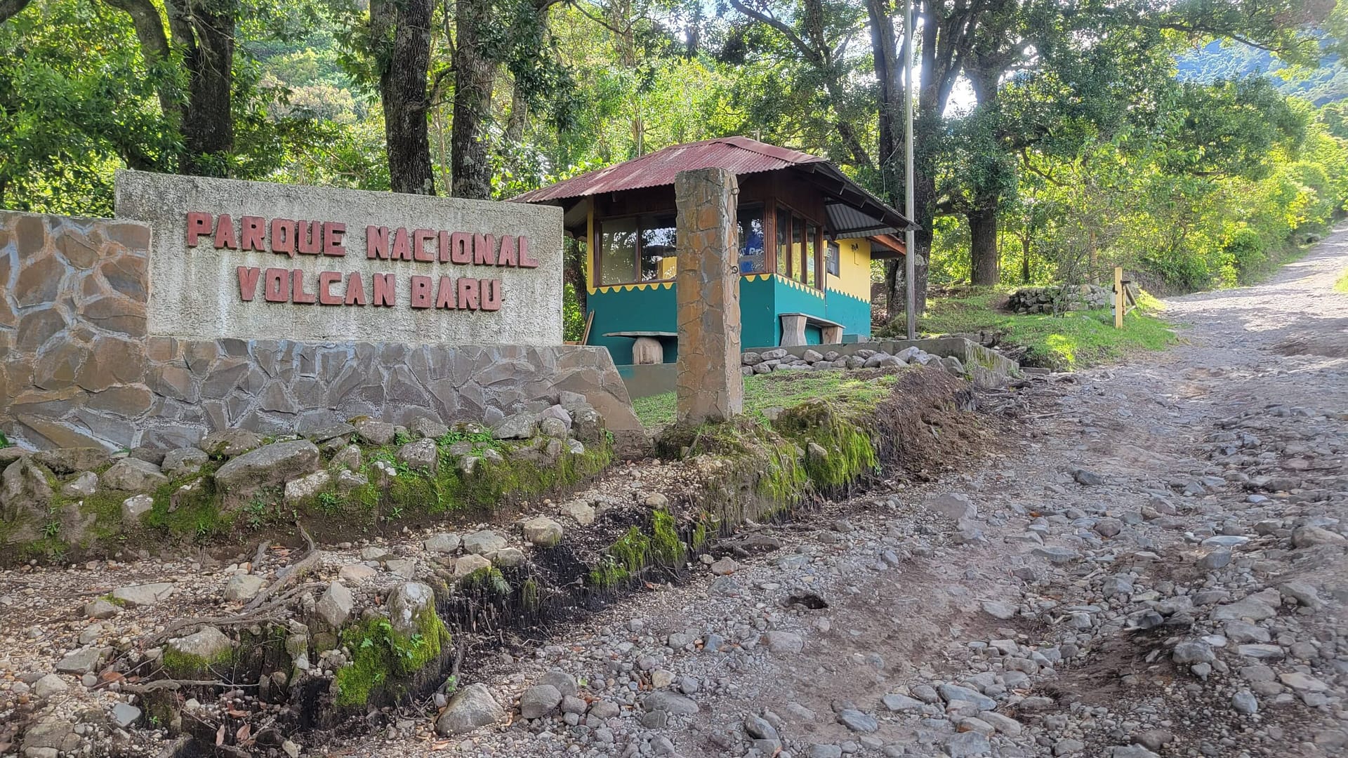
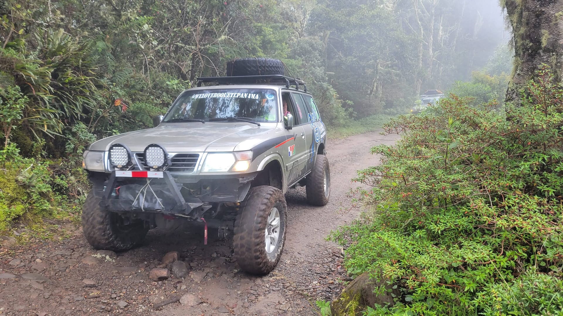
A taxi will drop you here -- a bit short of the Volcán Barú Park Visitor Center
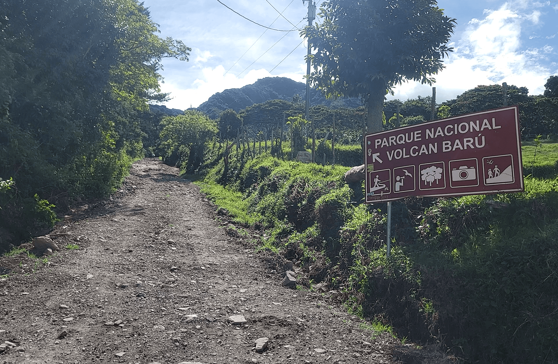
Getting to Volcán Barú
The start of the hike is about 5 miles from Domingo Medica Park in Boquete. There are no sidewalks and narrow roads so you are best going by car. We didn’t catch the name of the bus route but that is one option. Taxi is another. We took a pre-arranged taxi from our awesome Airbnb in Jaramillo for $20 so it isn’t too expensive. By bus, you will be dropped off about 15 minutes walk away (see map later on getting back). By taxi, you will be dropped off on the road to Volcán Barú about 10-15 minutes shy of the visitor station where you check-in, sign the logbook, and they record your passport number (make sure you have it).
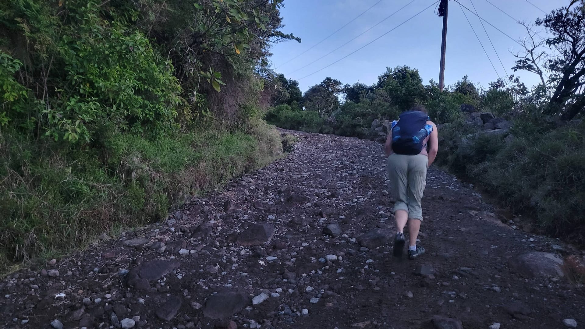
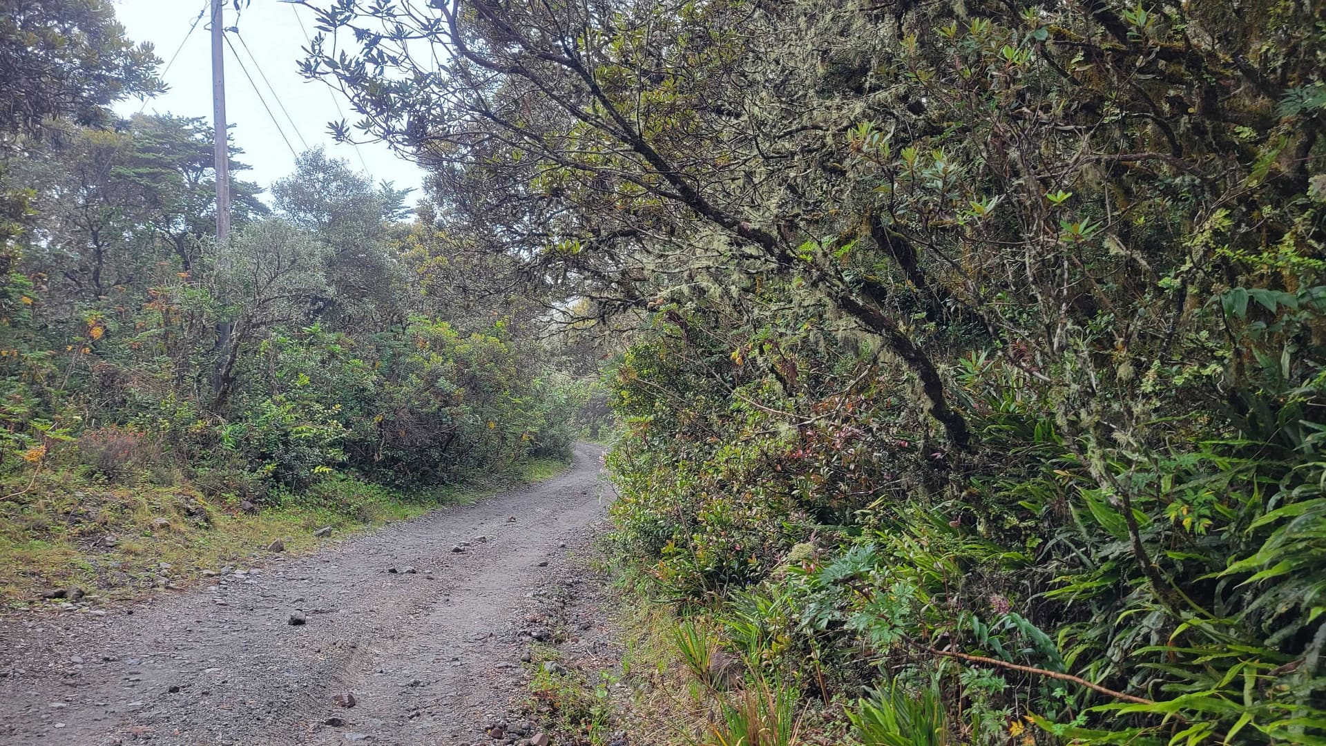
Hiking Volcán Barú from the Start to About 4 km
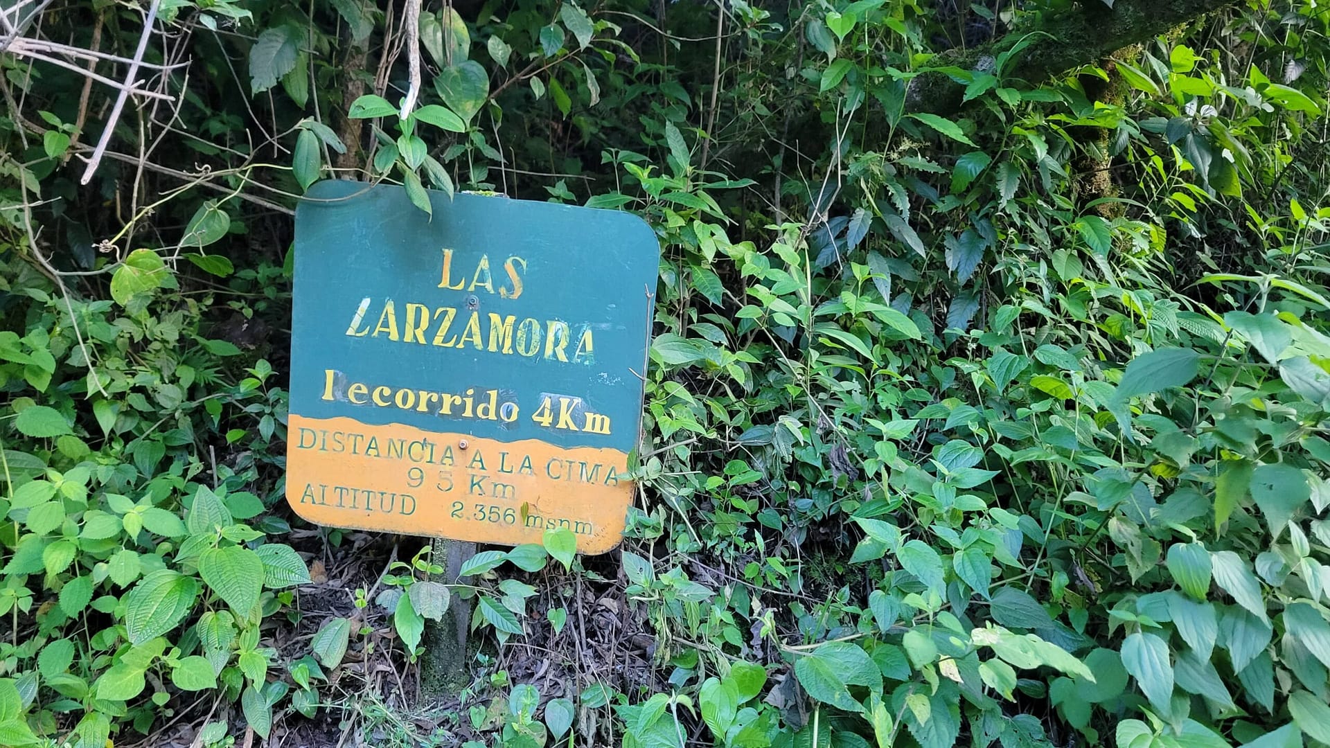
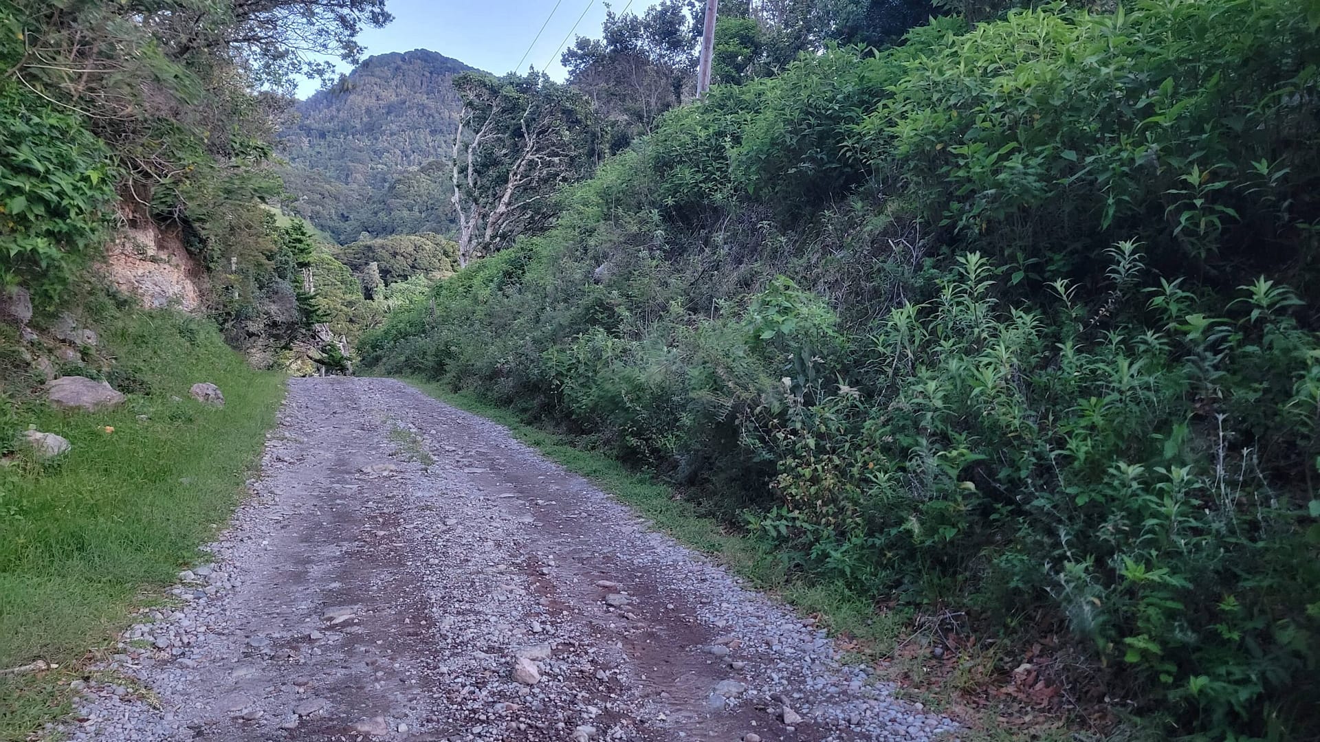
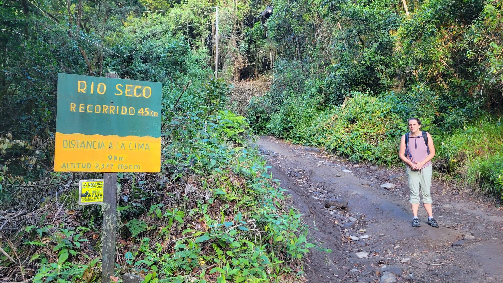
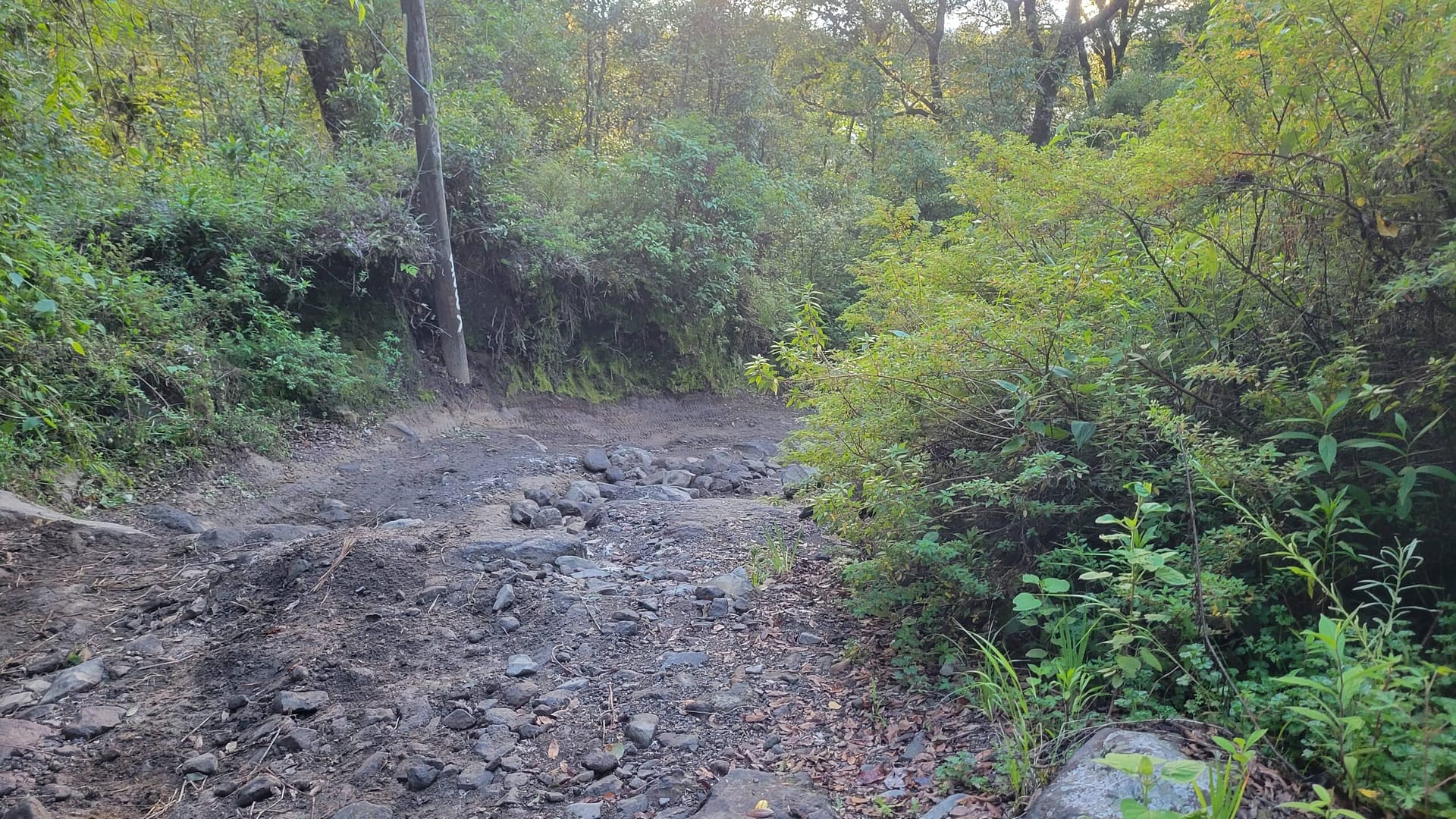
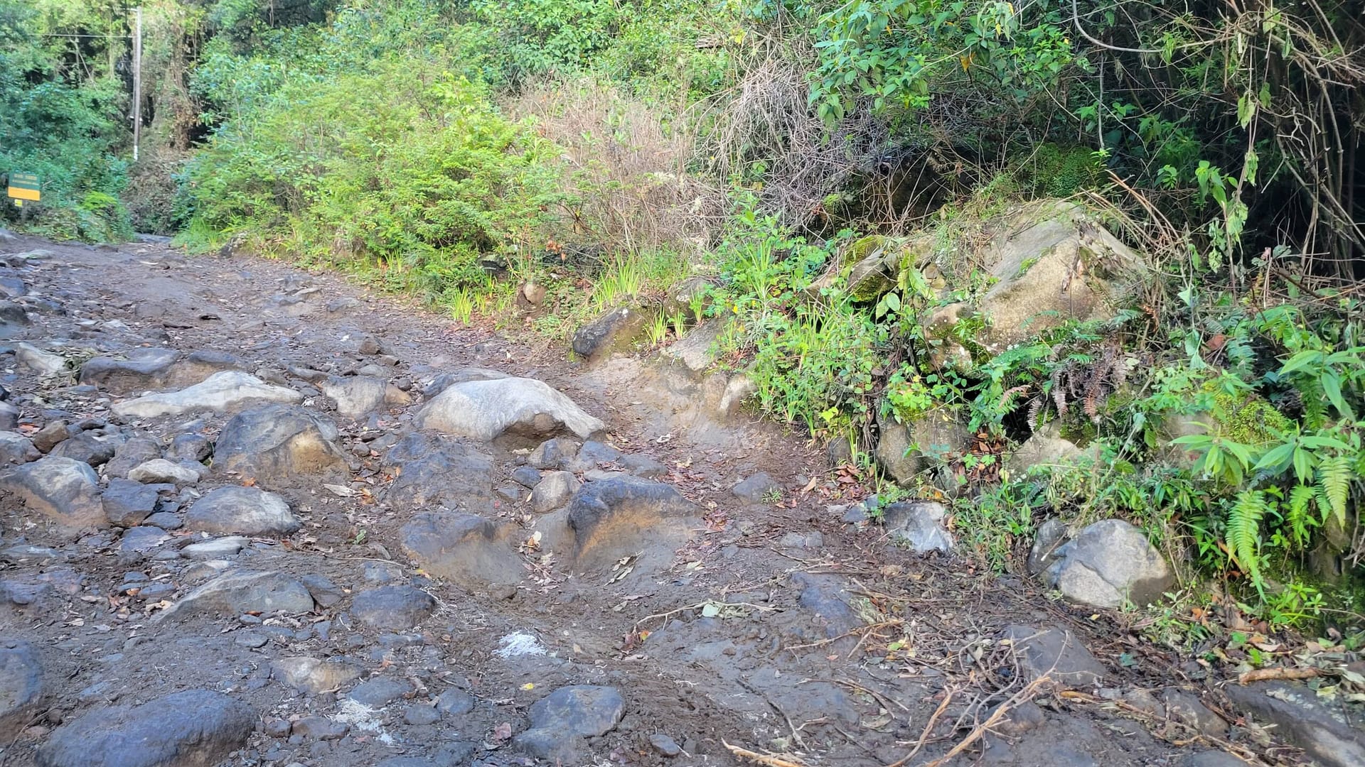
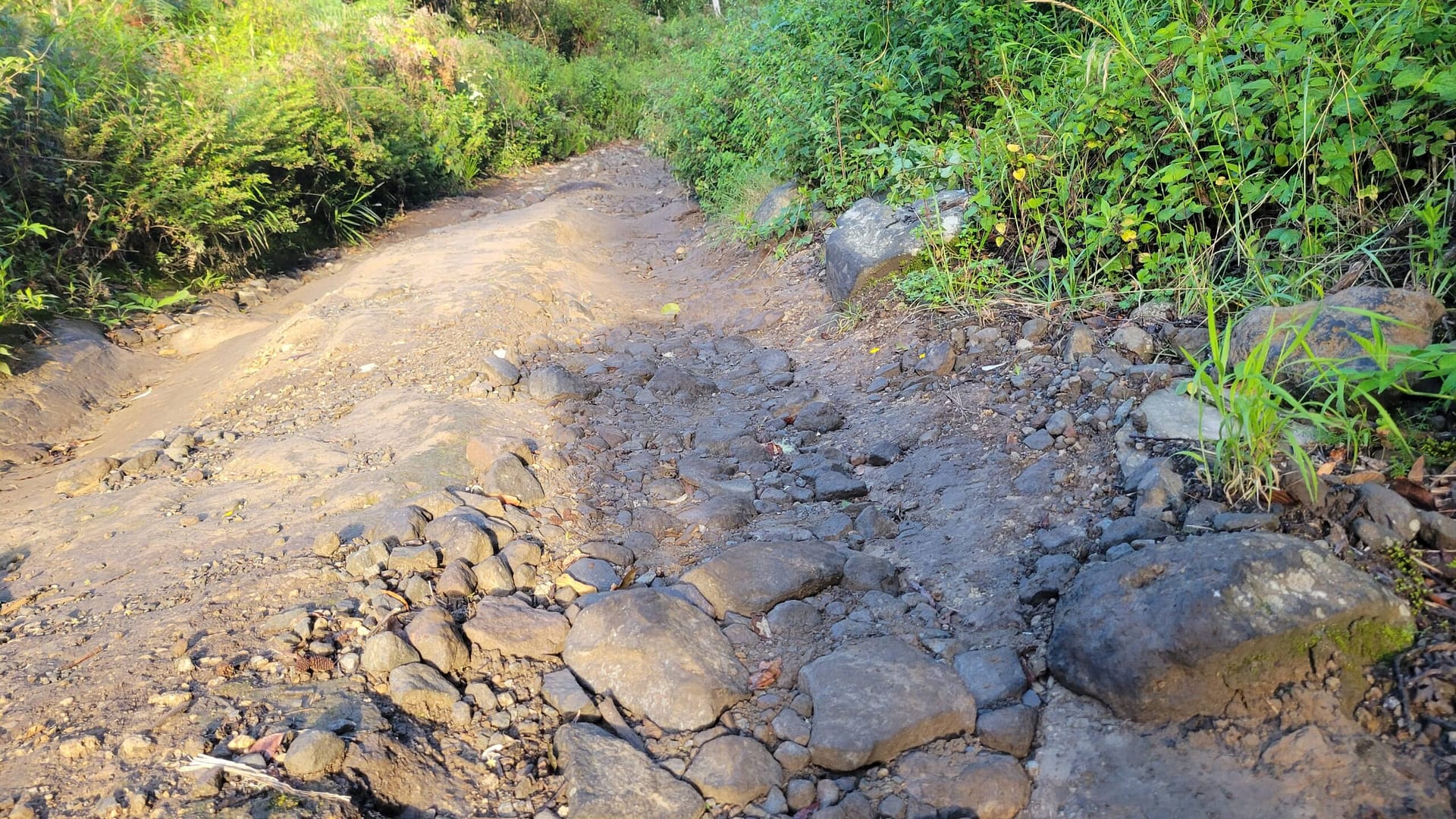
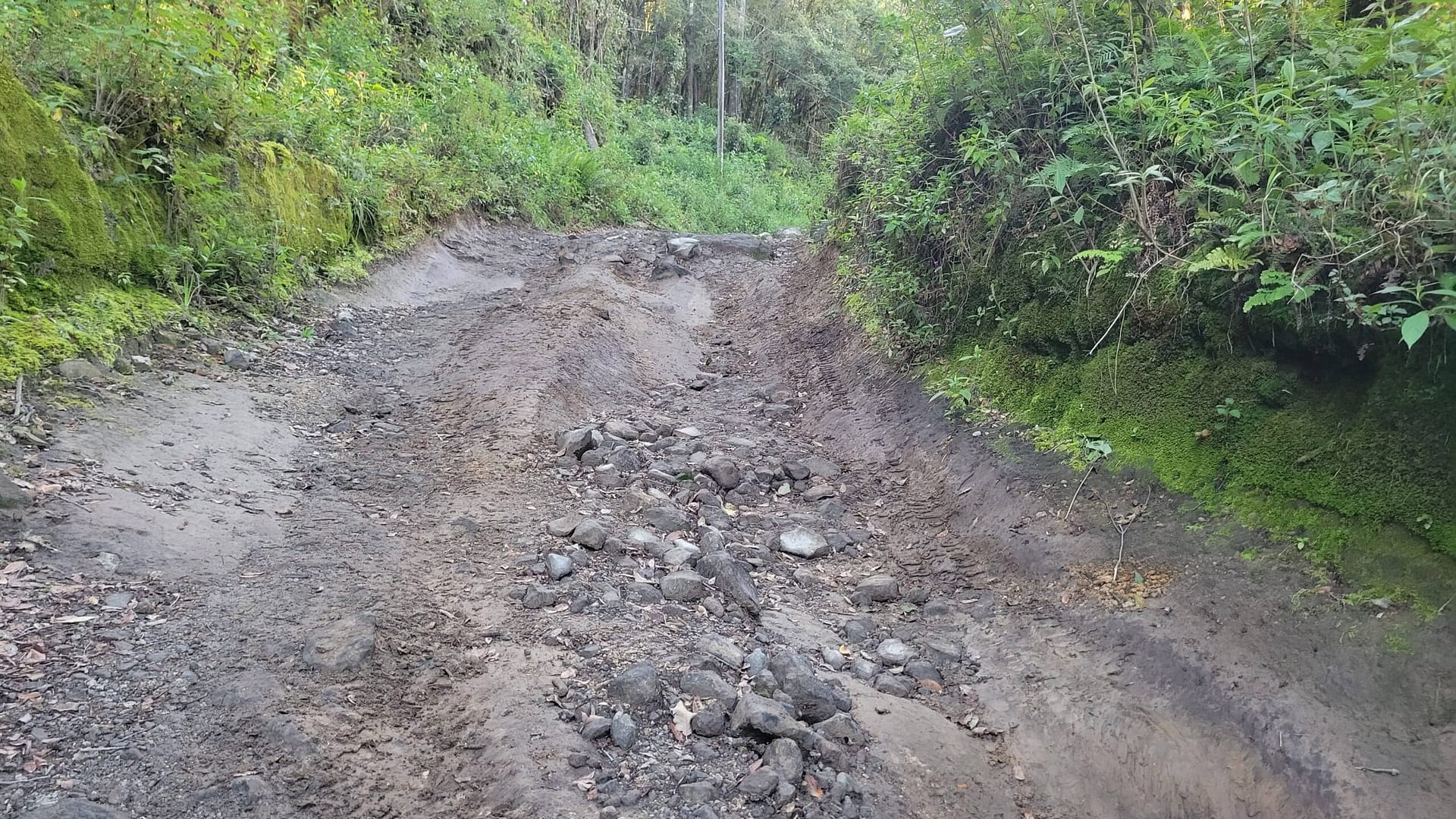
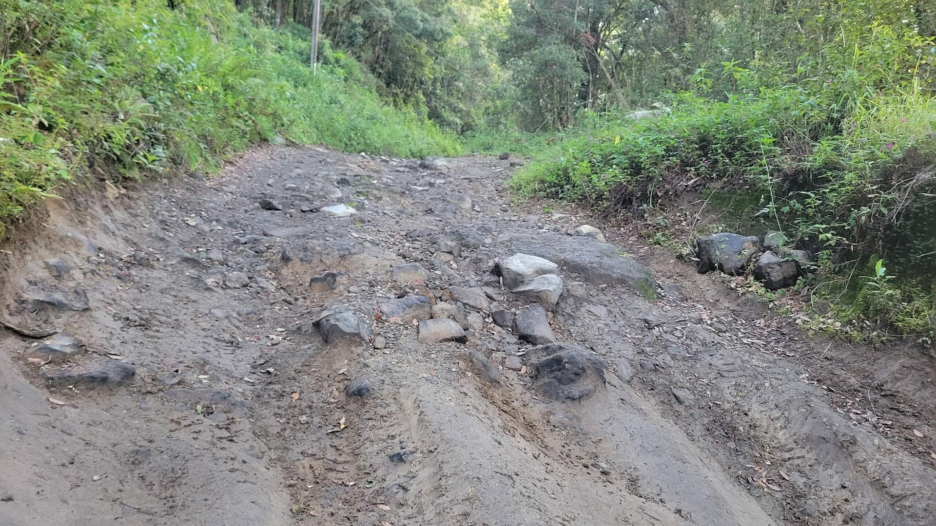
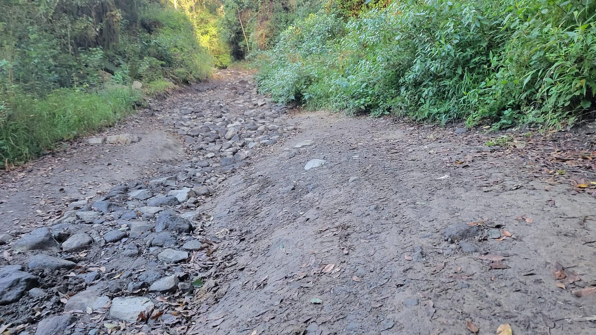
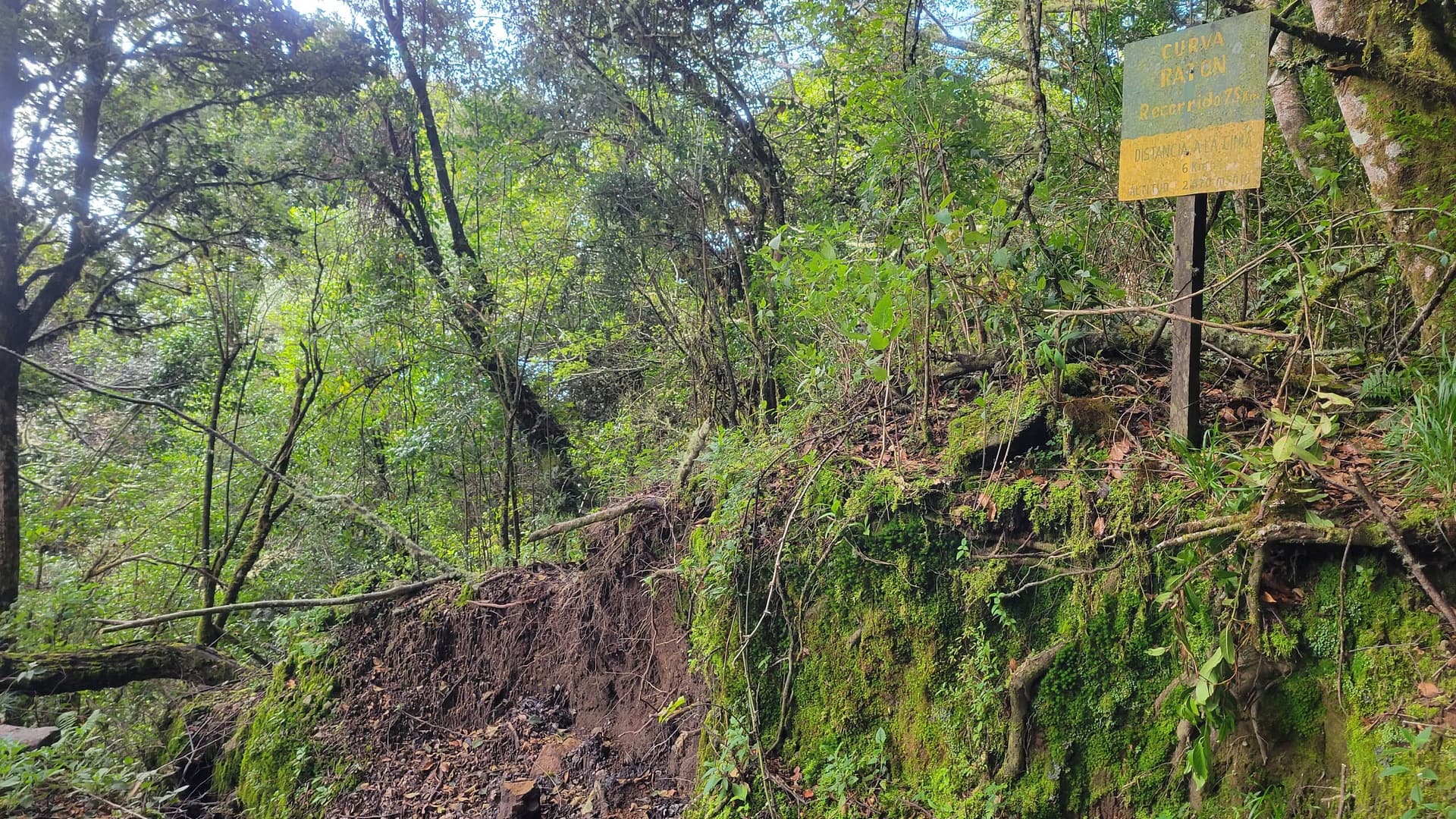
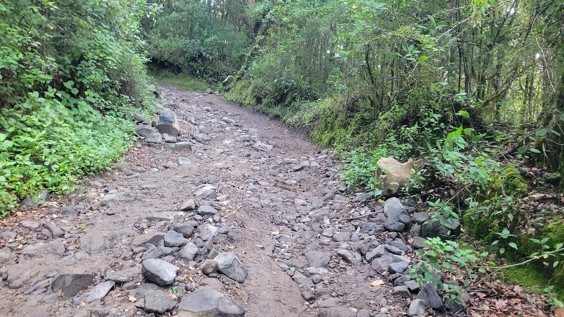
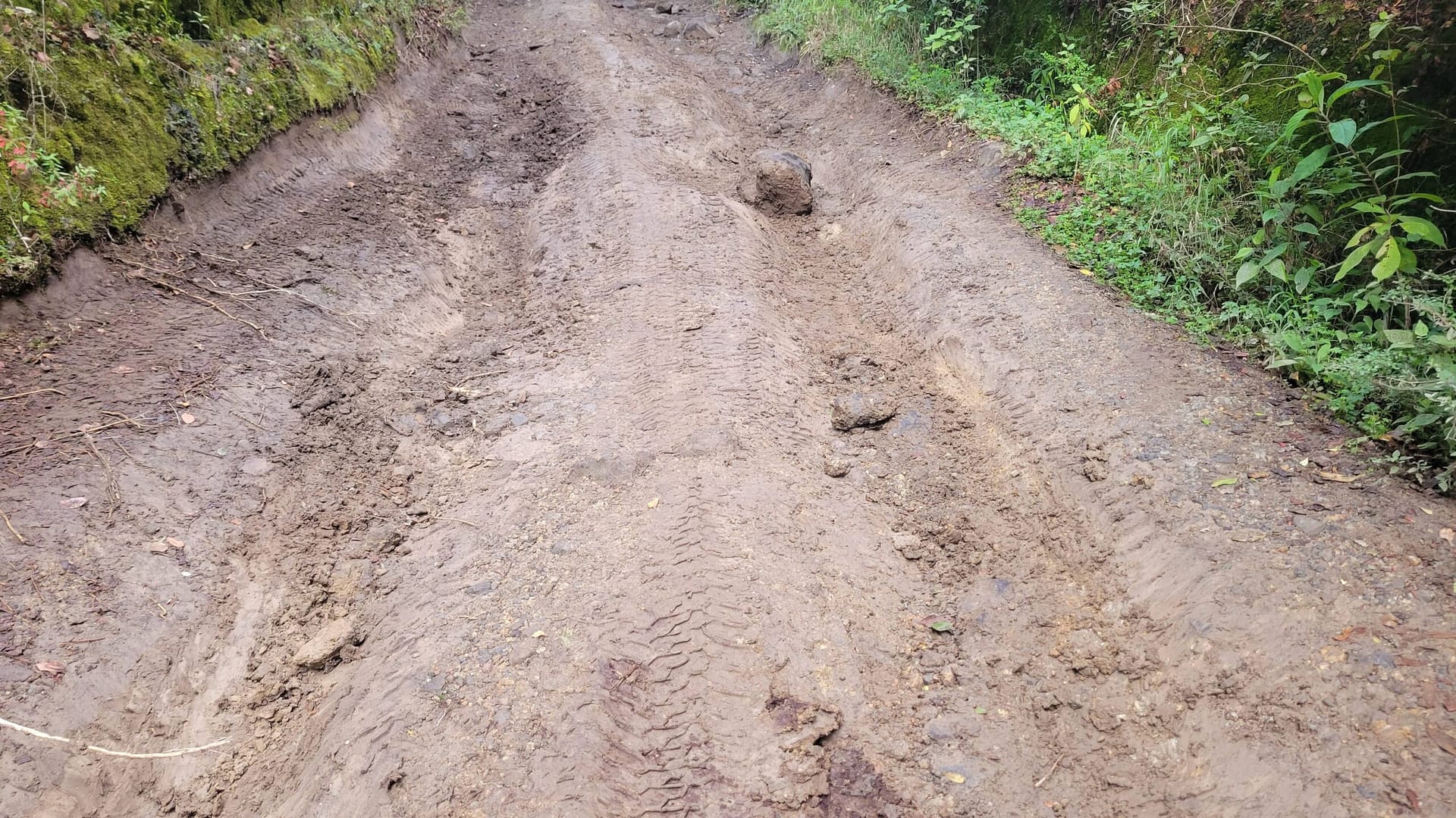
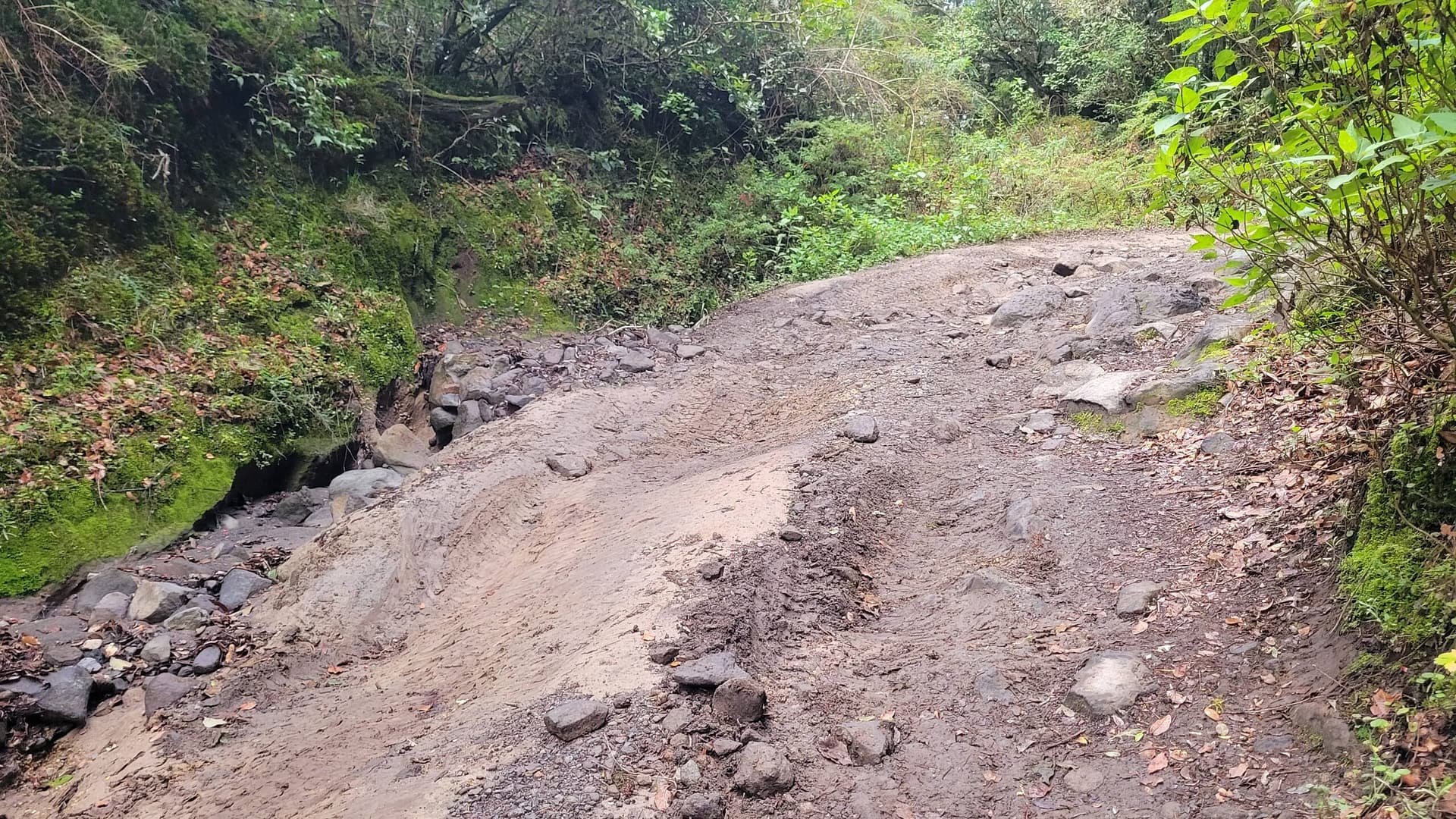
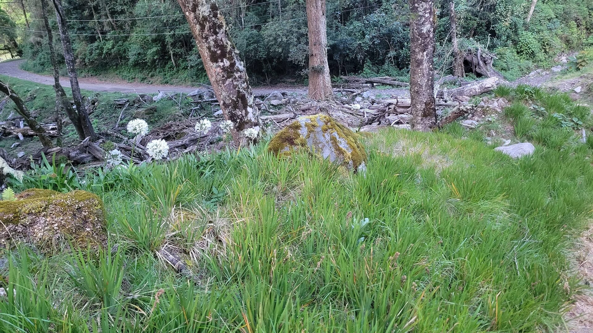
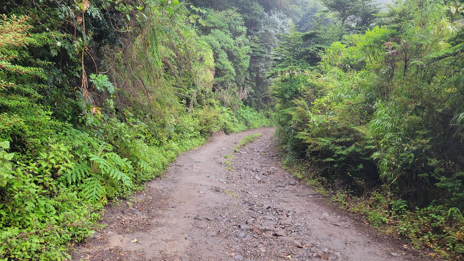
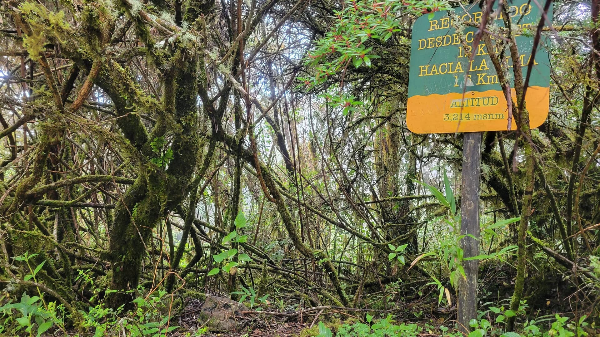
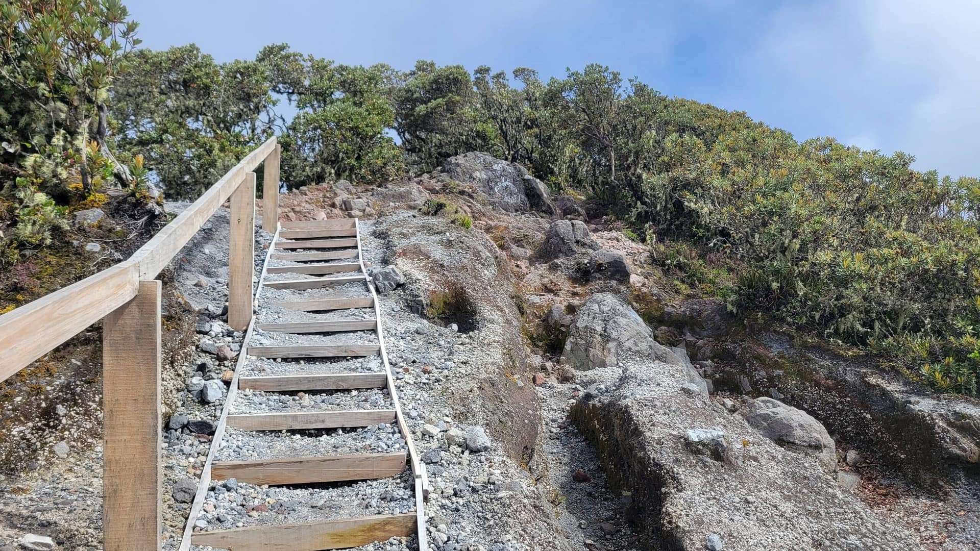
The entire hike is 17 miles give or take. We didn’t go down into the crater or up to the cross. Those bits would add a bit more mileage. We hike at about 2 mph so planned on about 9 hours before any stops. We started at about 5:20 AM using the flashlight from our phones to light the way. With a 10 minute stop at the visitor station we made it to the 4 km maker in about 80 minutes. Note, there are km markers all along the way, though not in even increments. By this point you will have a good sense of road conditions. Bear in mind they are not yet at their worst.
The Hike from 4 to 6 km
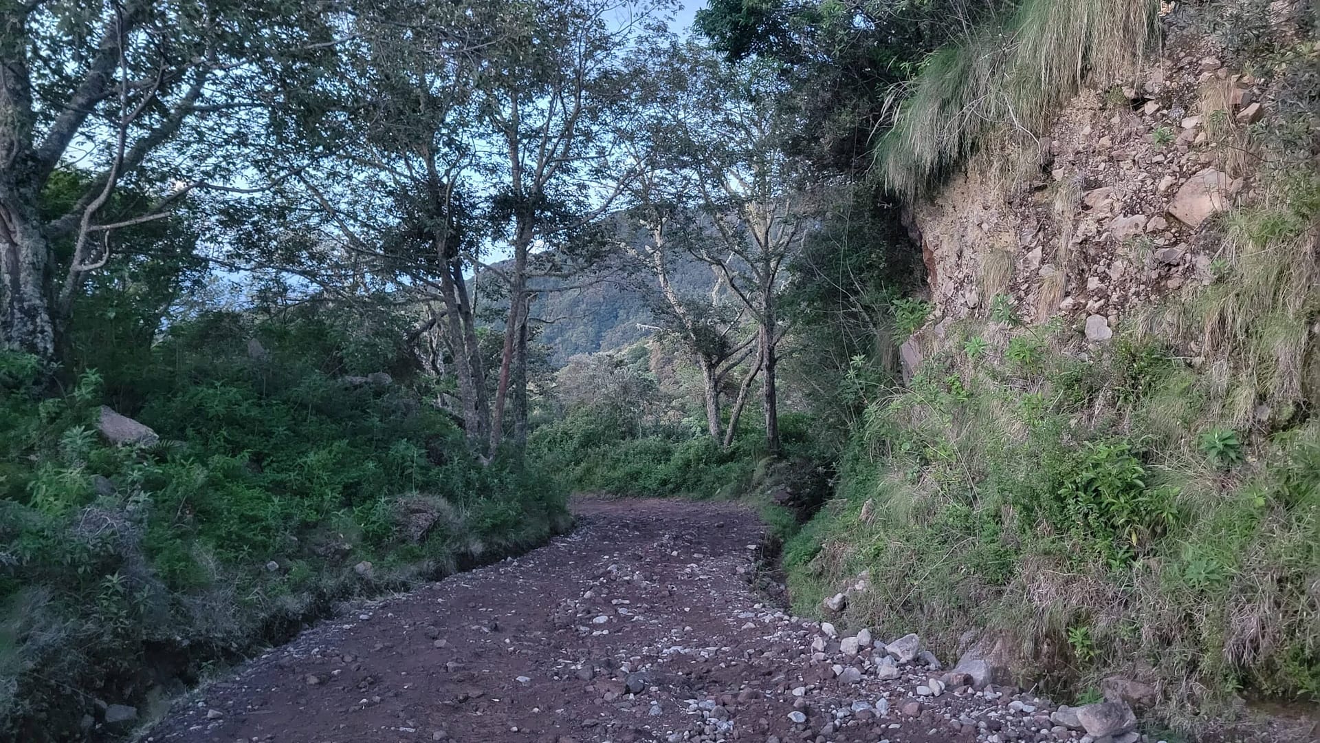
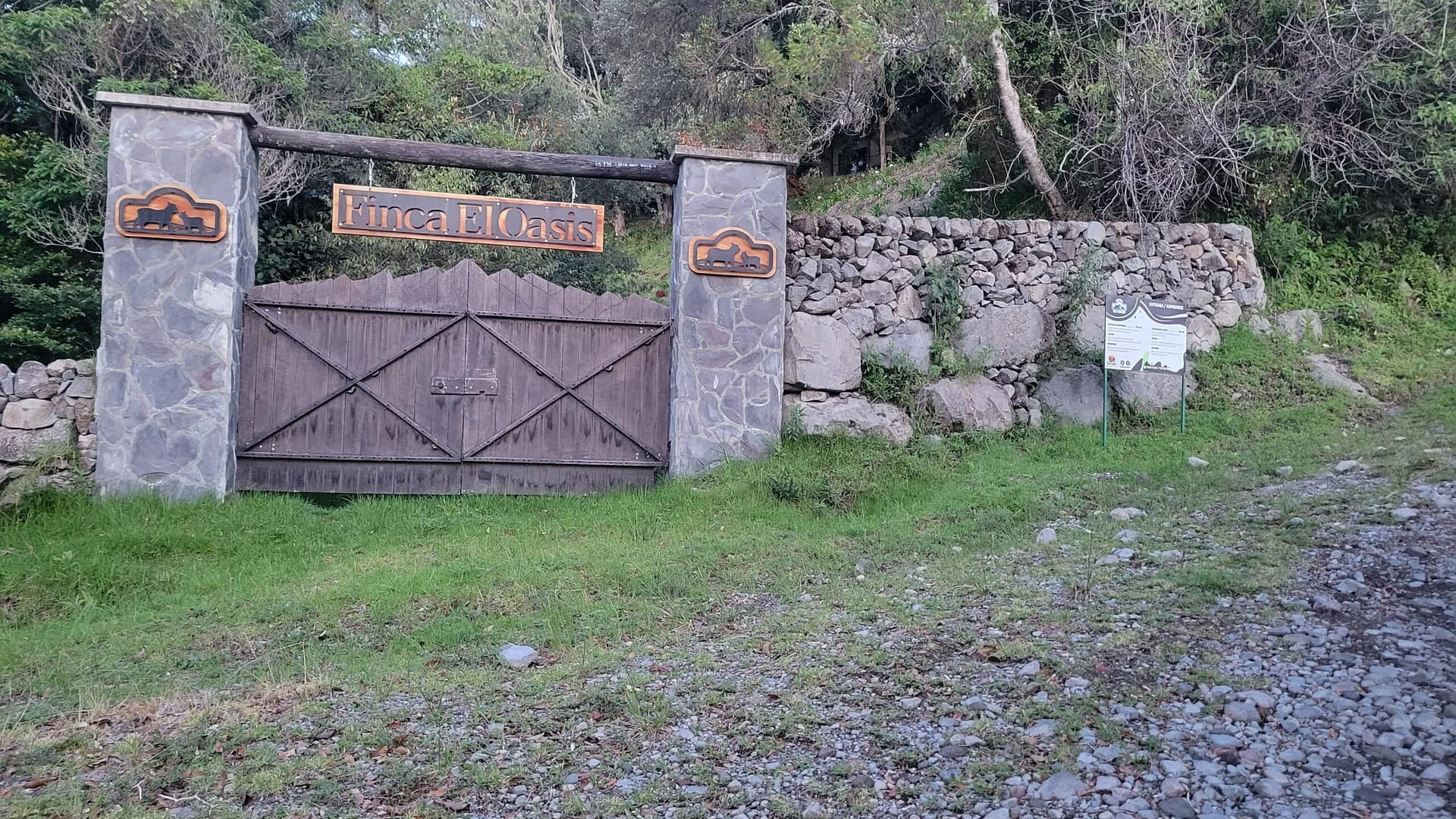
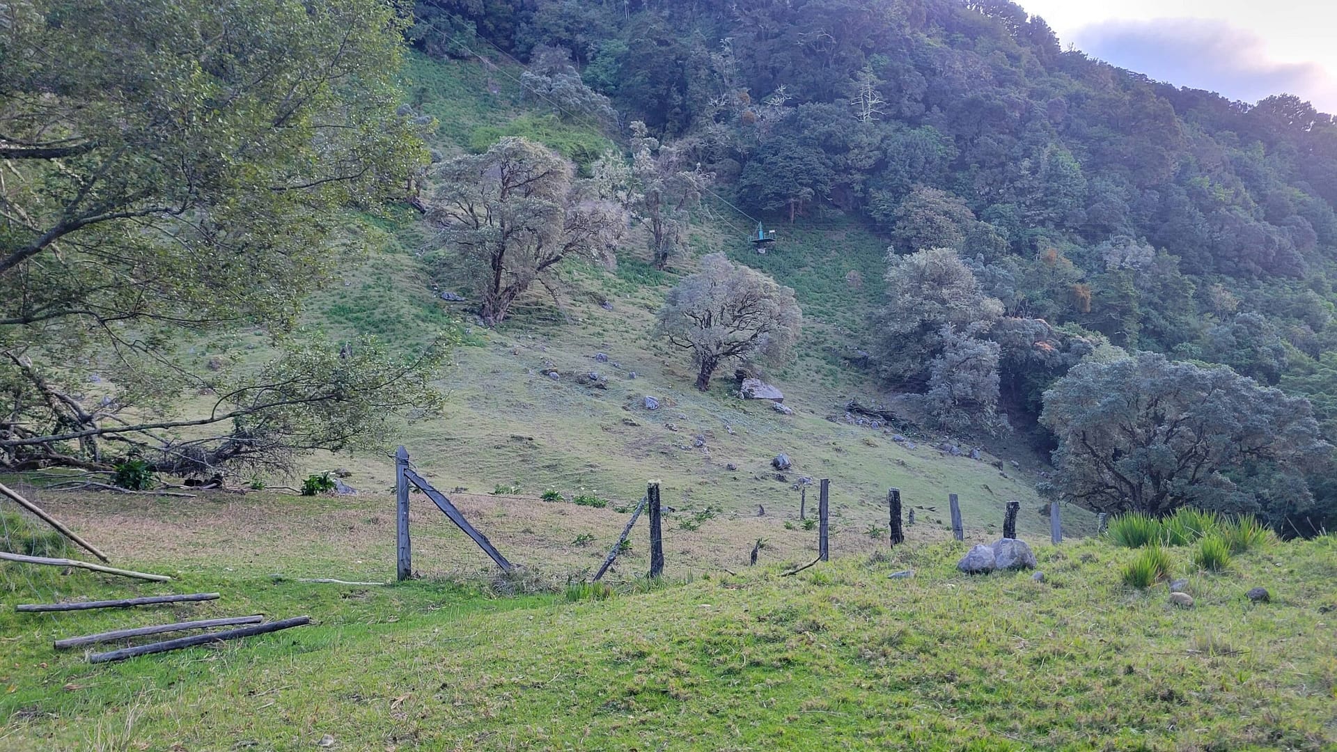
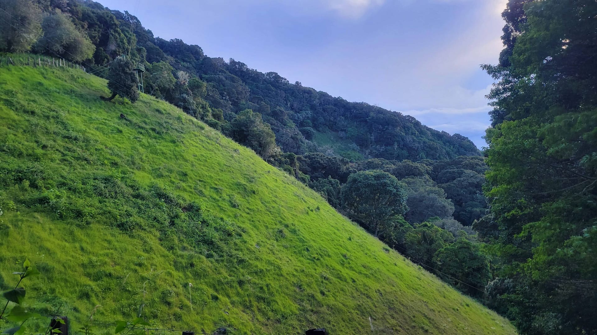
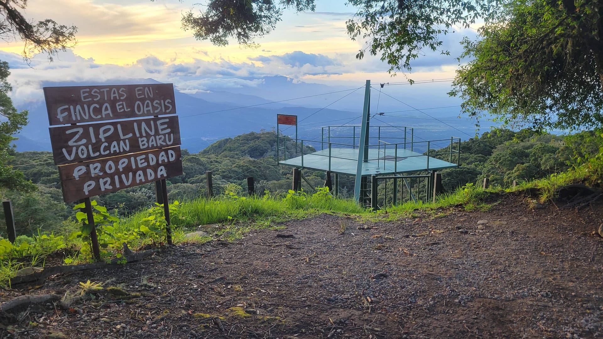
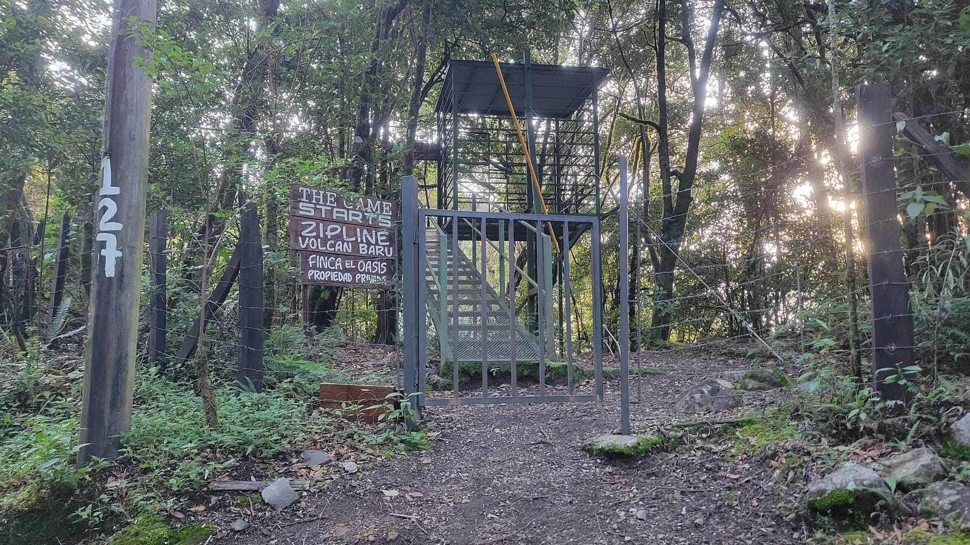
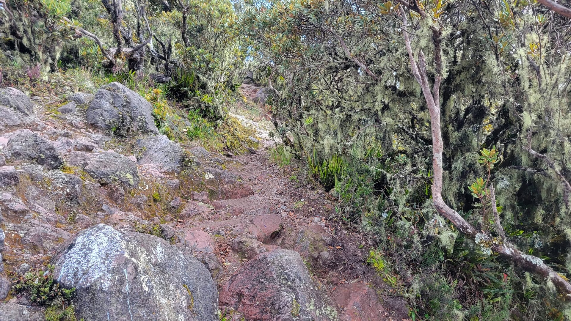
Really nothing too special in this stretch. True, you see the zip lines of Finca del Oasis, an eco-adventure park. The road is rough and rocky, but not too bad. The forest is something like that of a mid-Atlantic forest — not a jungle and not a rainforest.
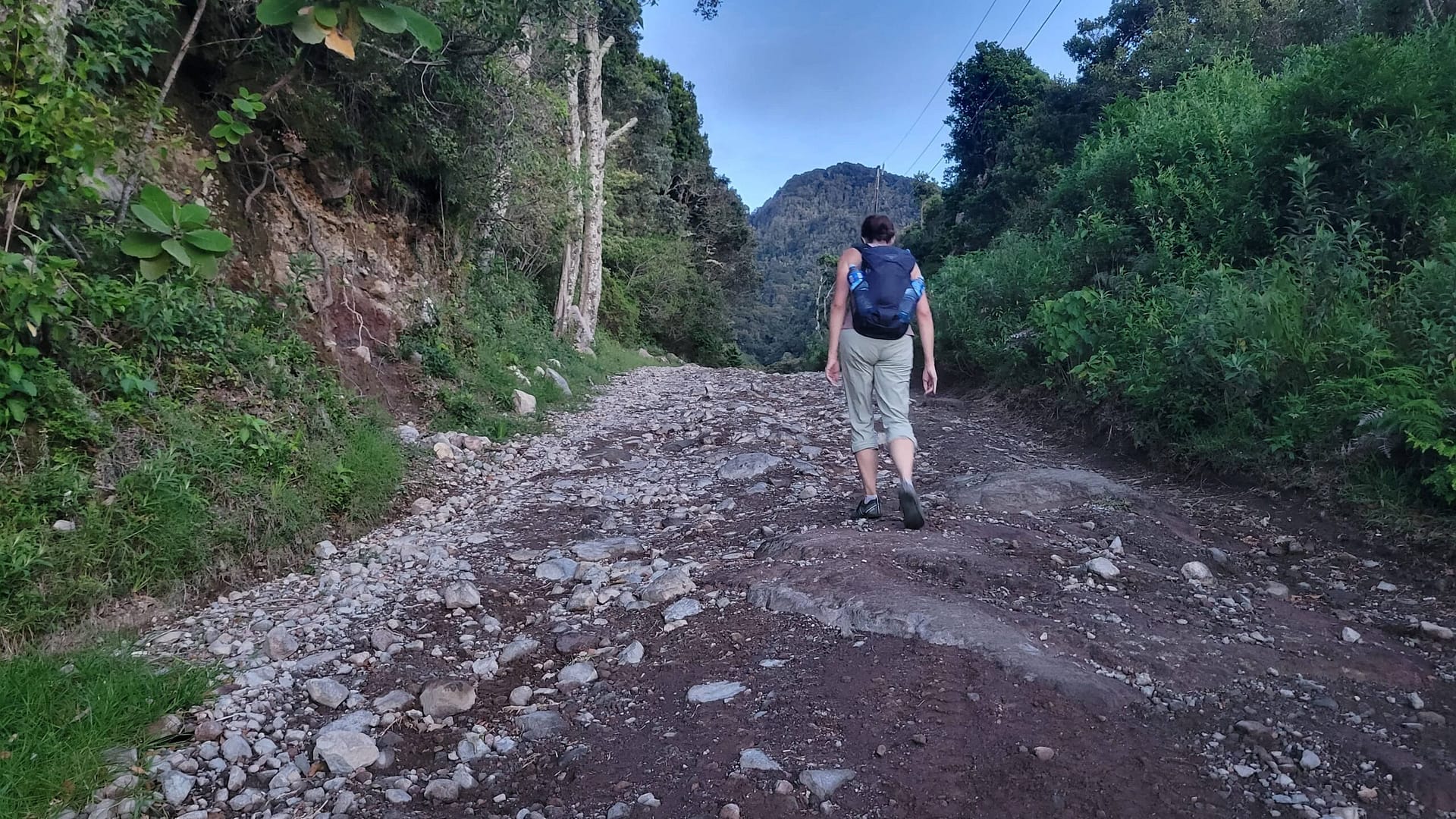
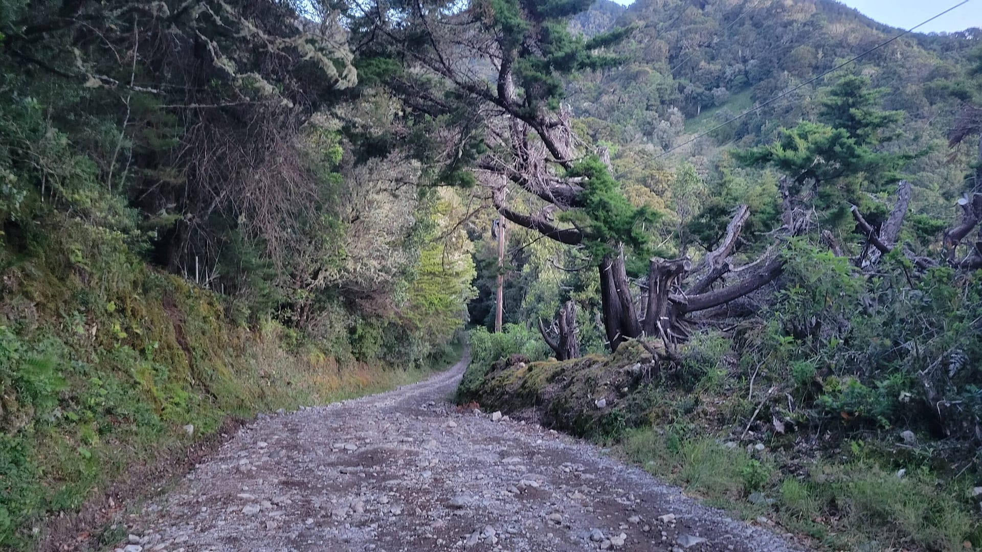
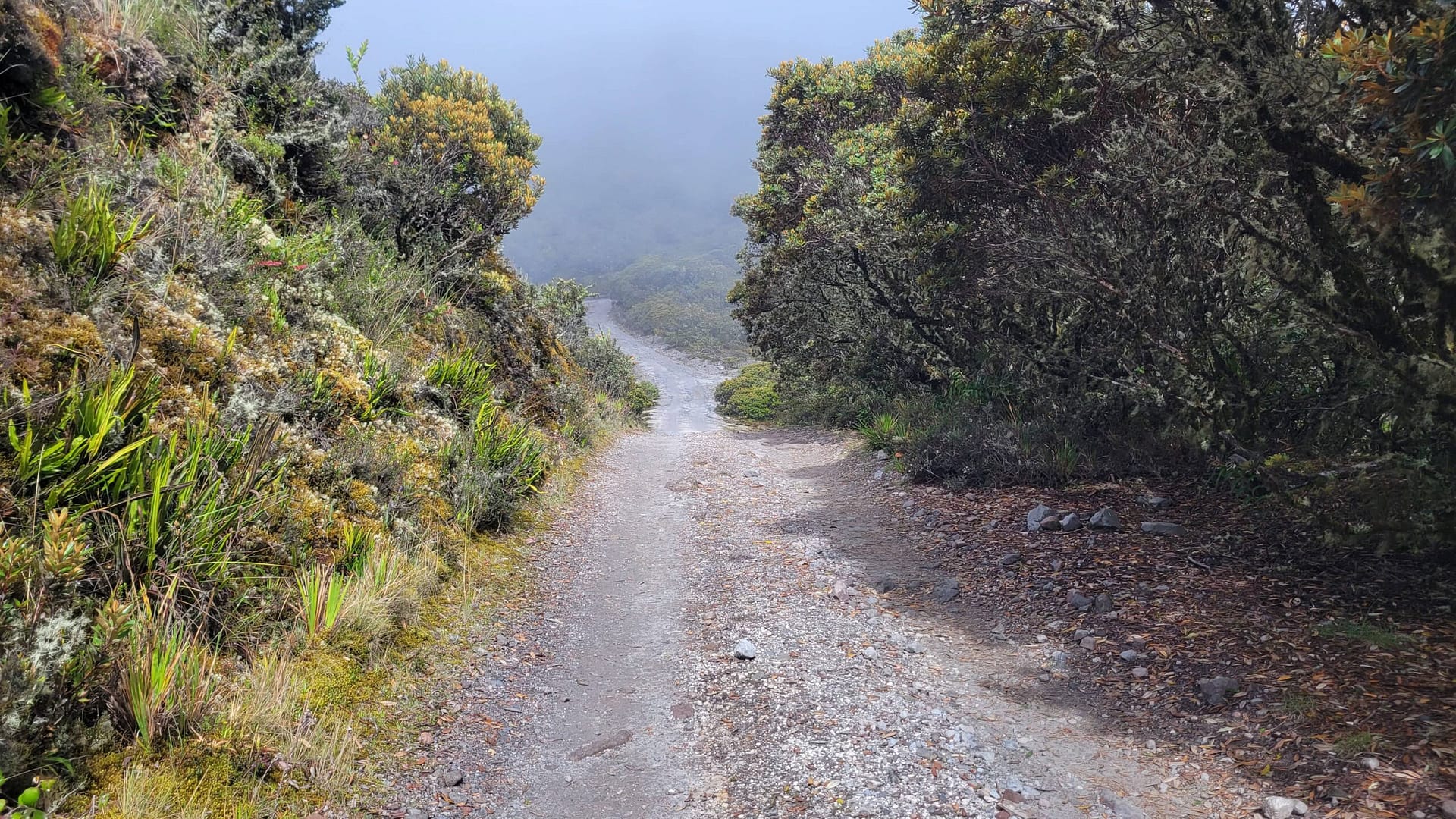
The Hard Part of Hiking Volcán Barú from About 6 km to 8 km
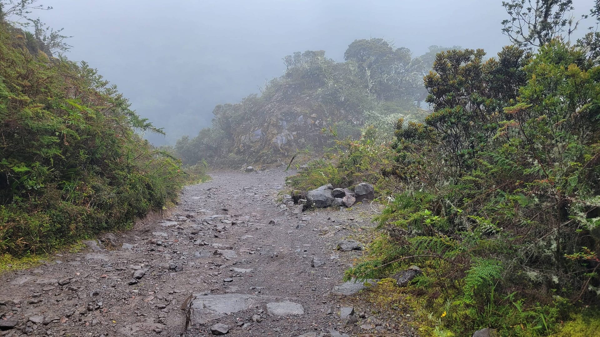
We’ve read about a number of folks getting about half way up and giving up. If you make it that far, don’t quit. Push on through the grind that is km 6-8. This section really sucks. It’s steeper than the rest, full of switchbacks, and will give you a good cardio workout. However…. Just a bit after km 8 you get a good stretch of flat, decent road conditions, and even a little downhill.
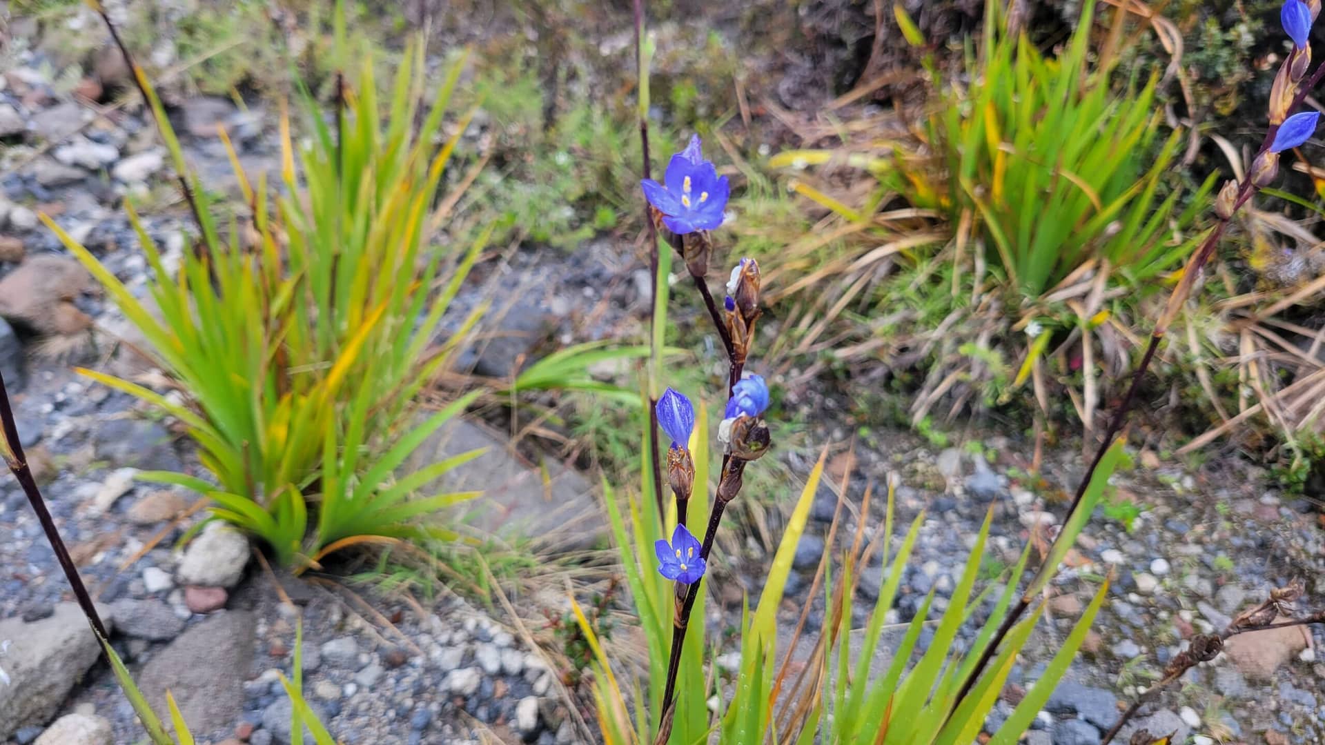
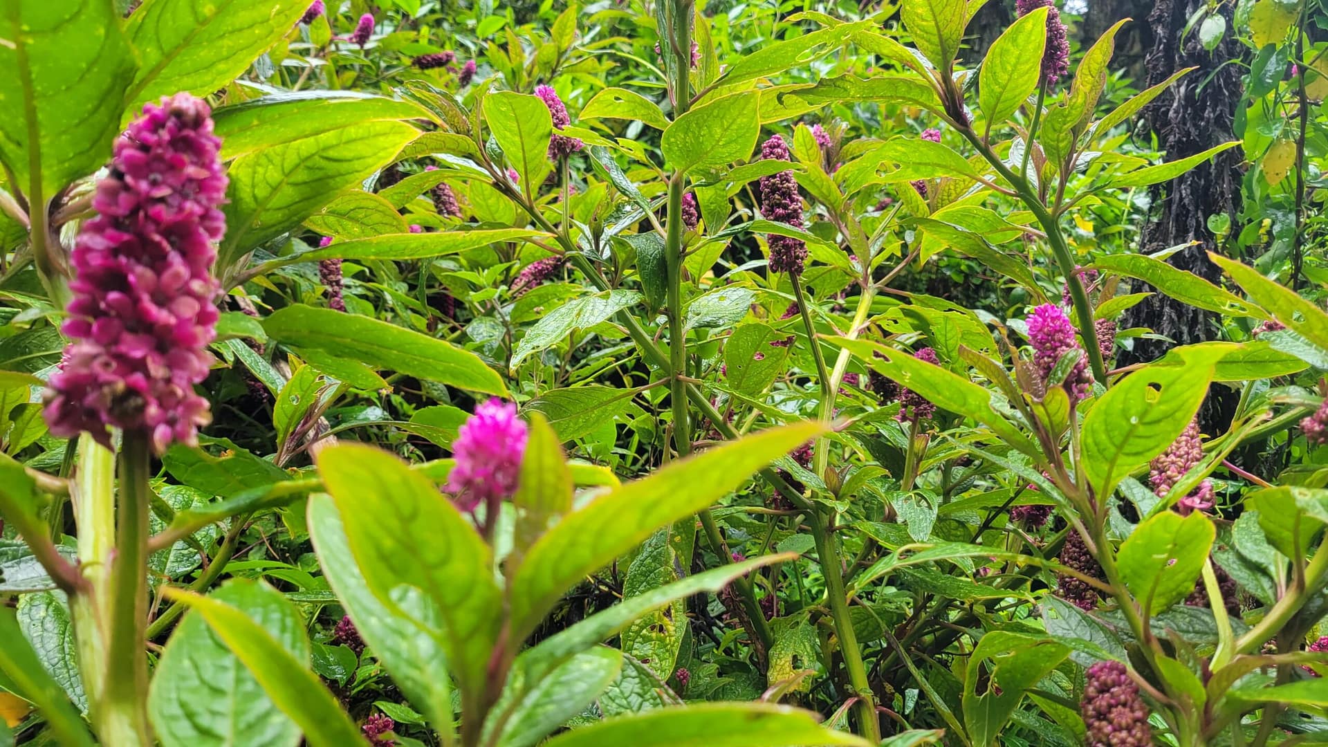
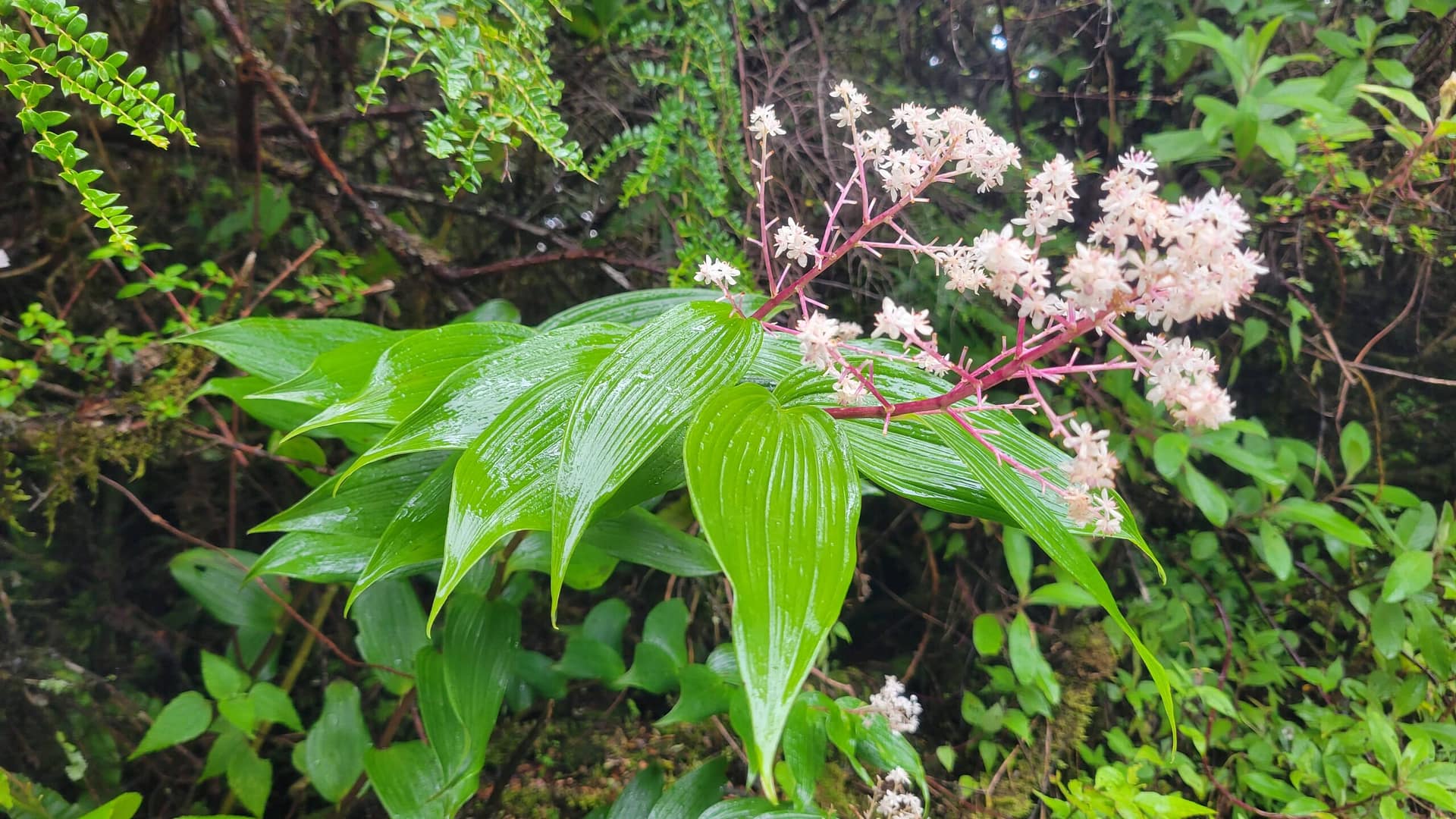
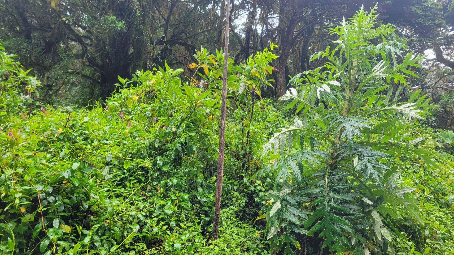
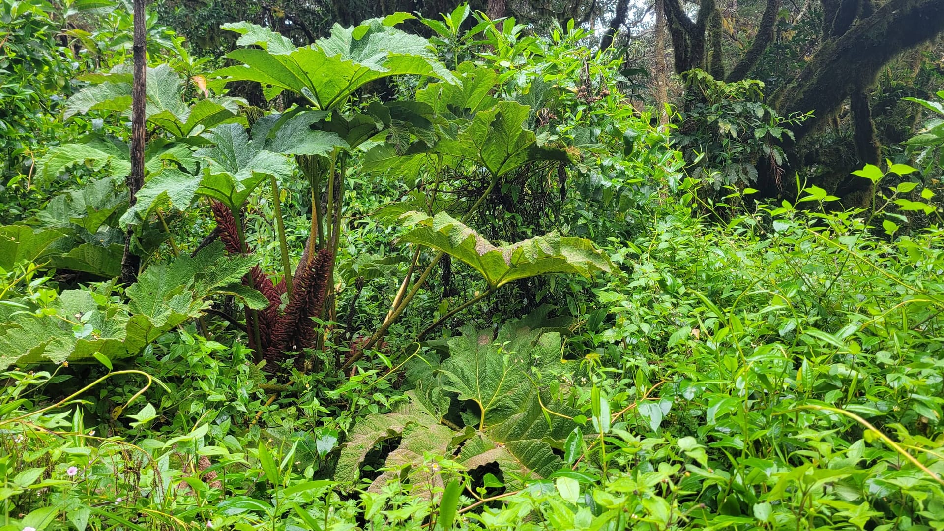
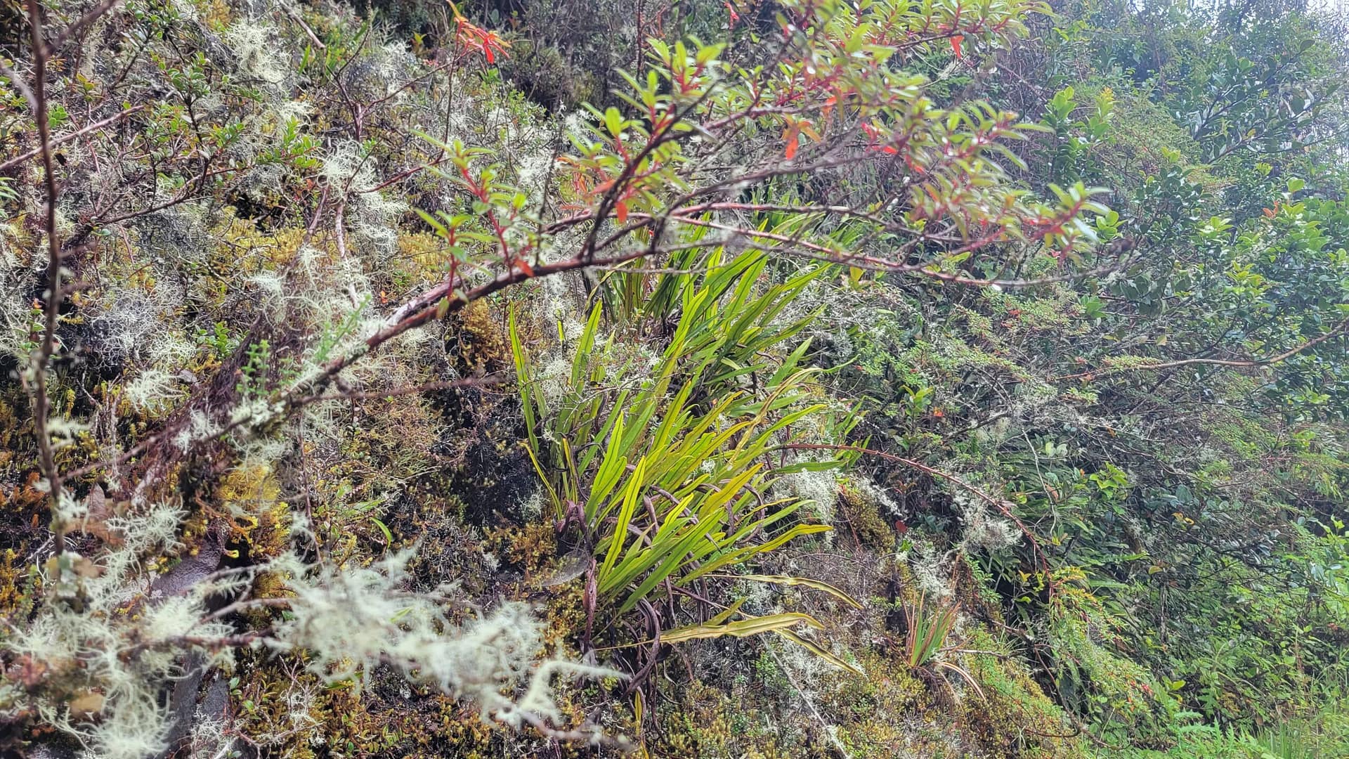
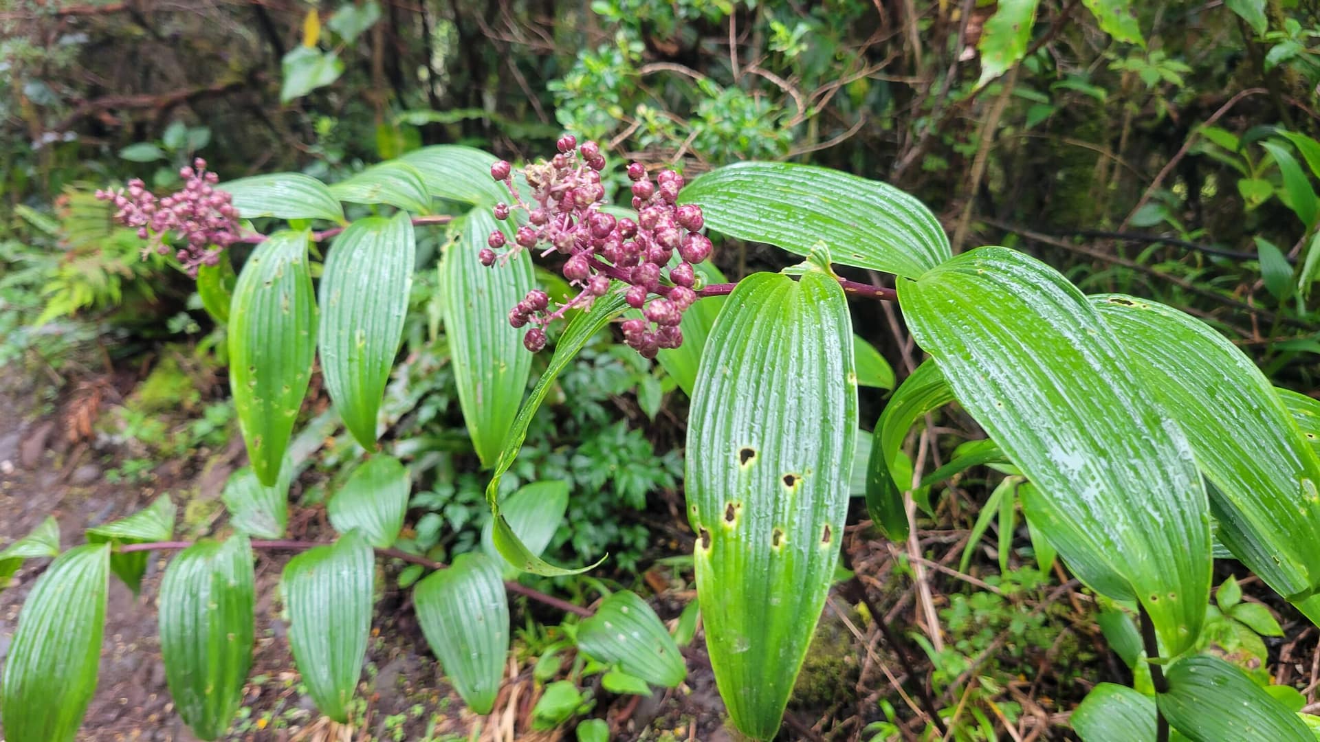
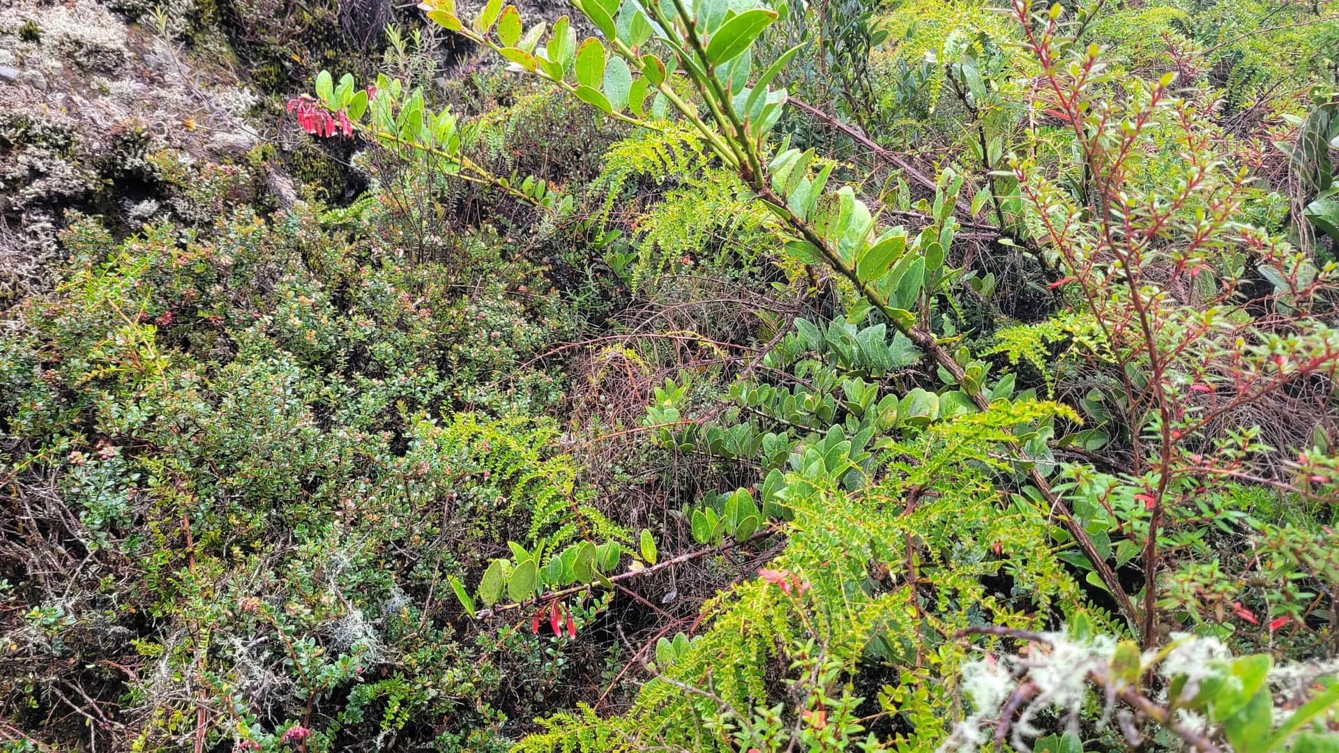
Flora and Fauna
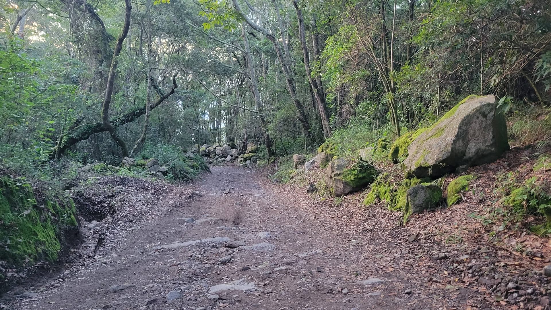
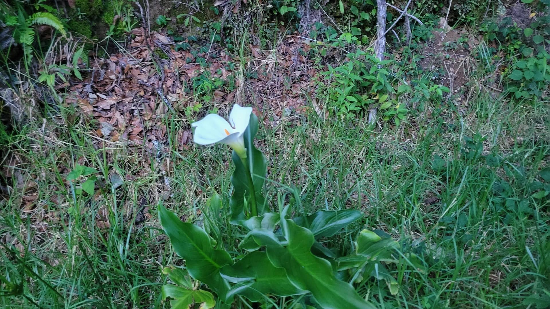
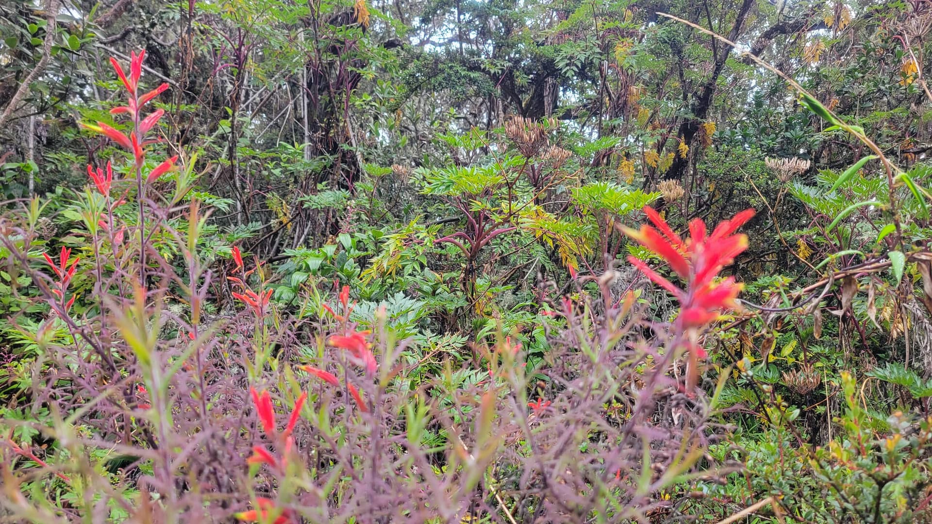
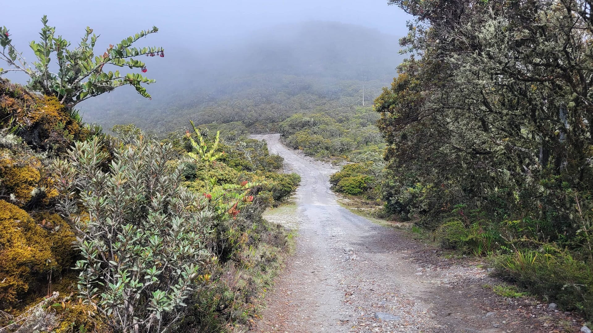
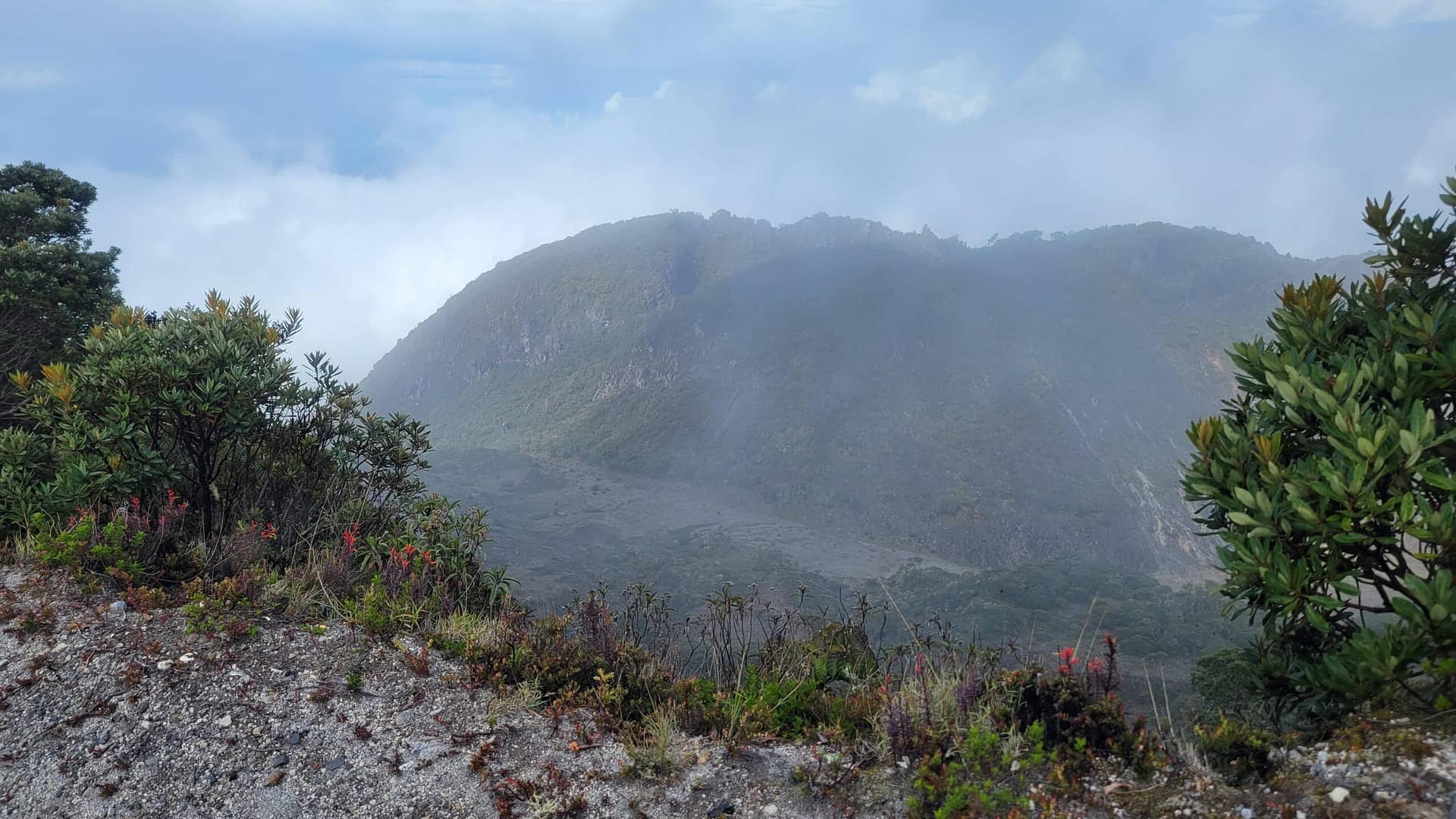
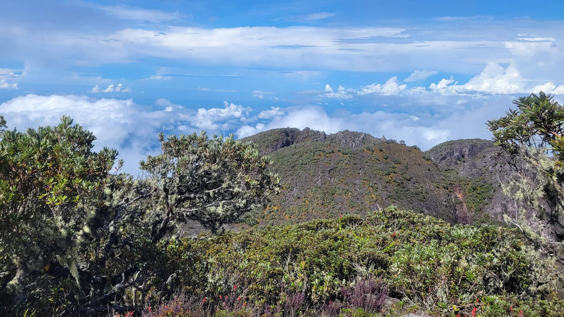
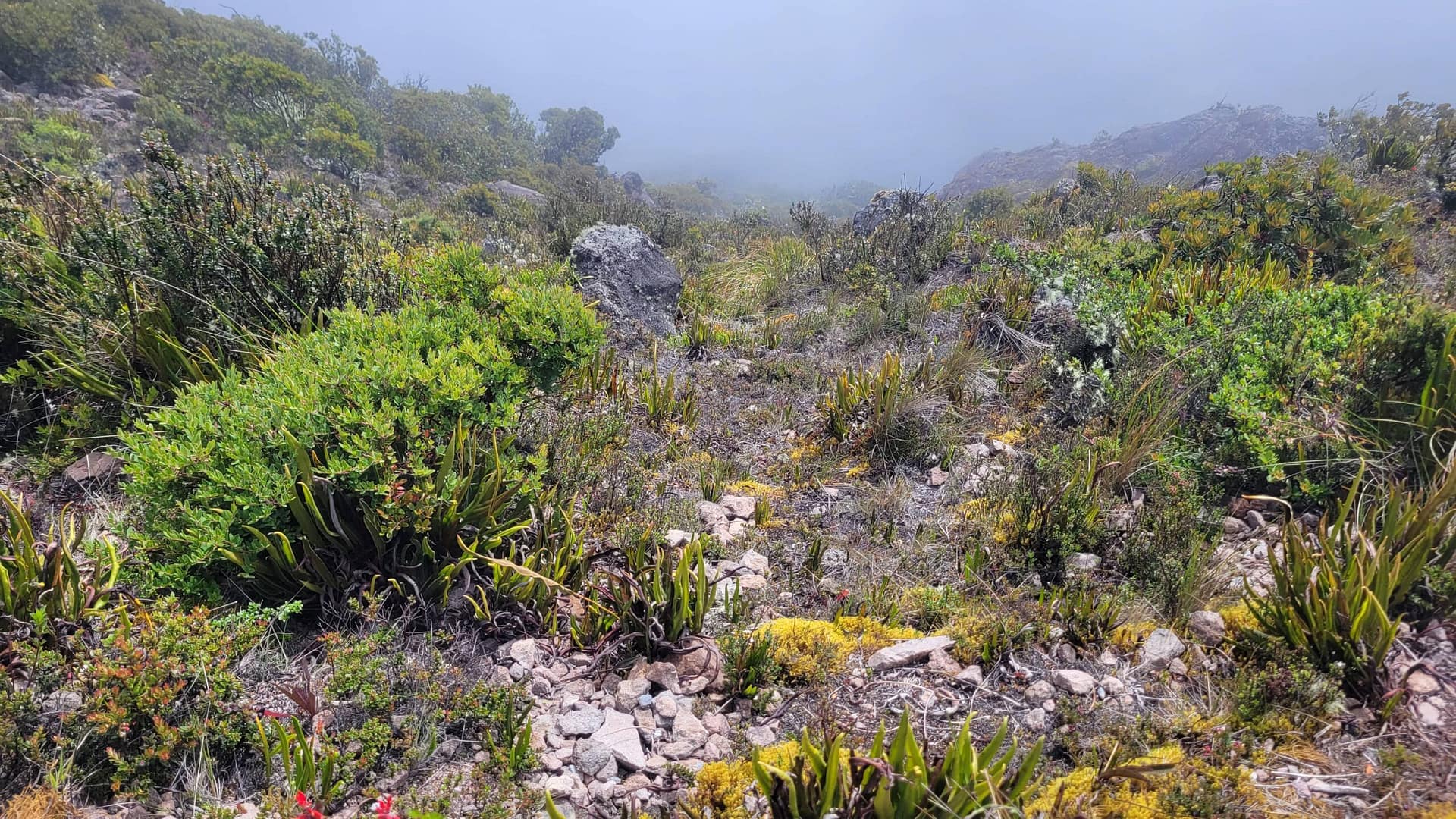
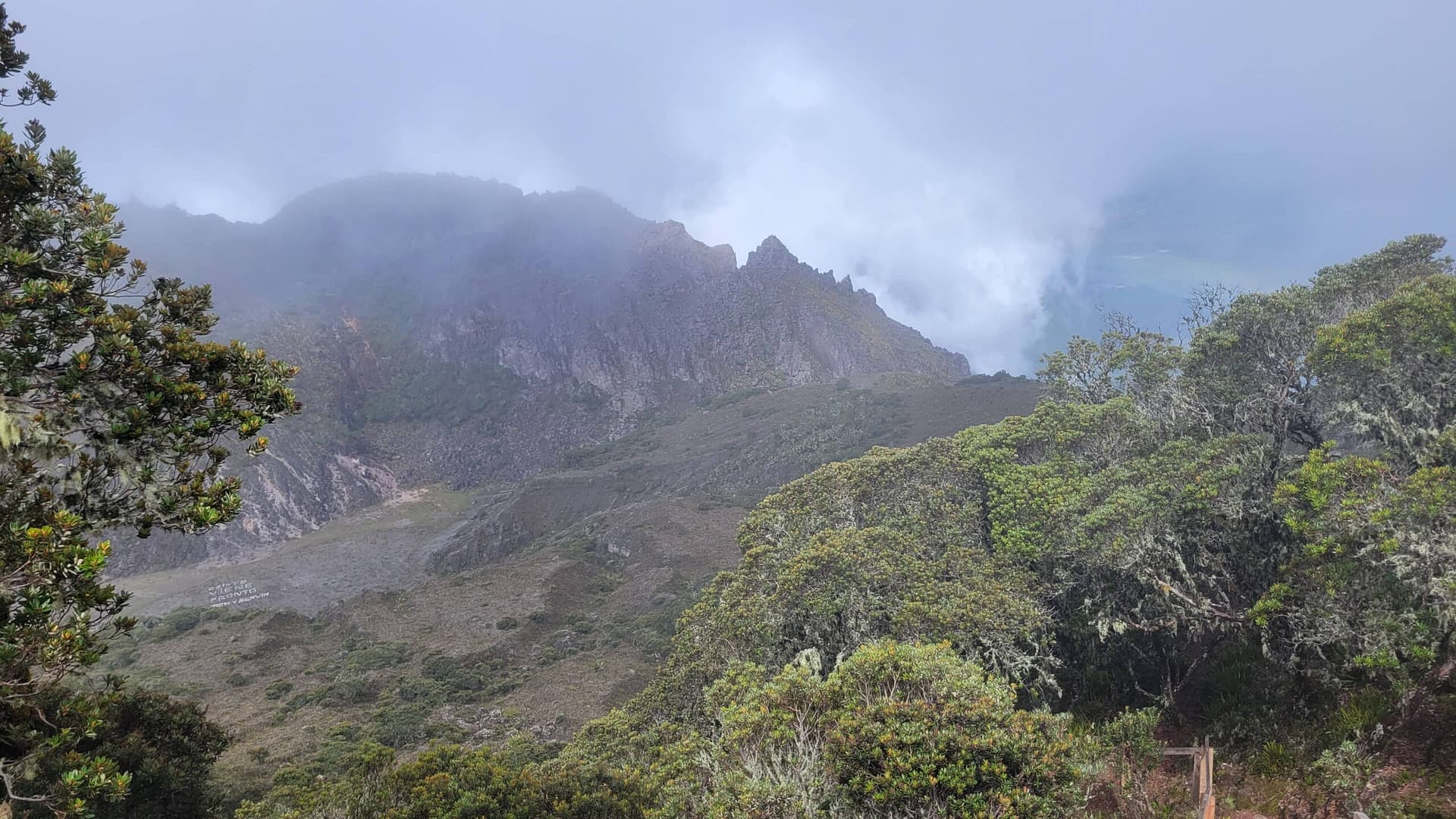
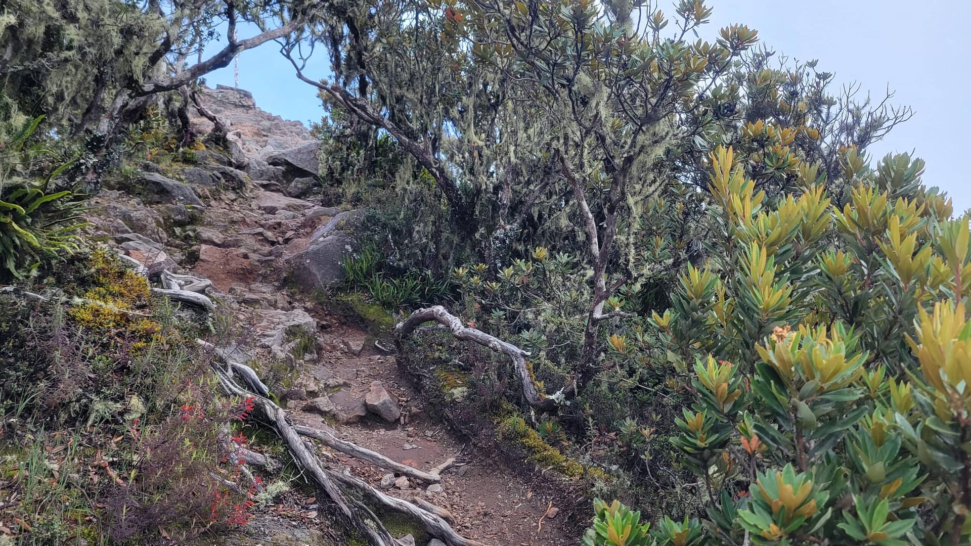
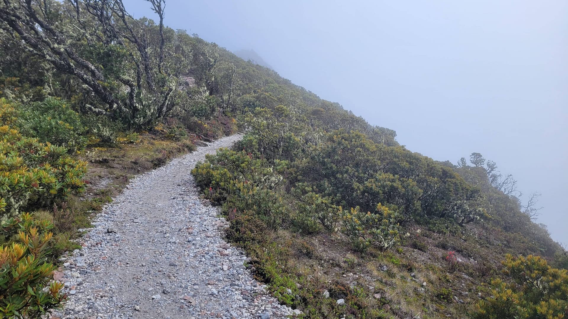
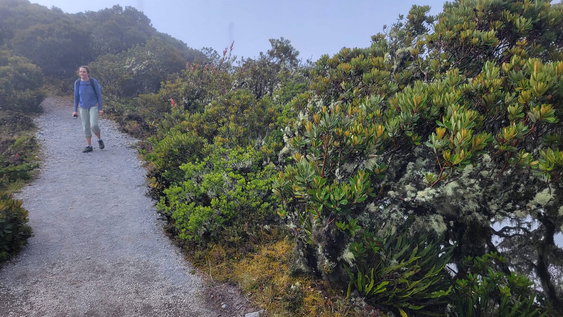
There are plenty of plants to look at on Volcán Barú, and supposedly plenty of animals, though we saw very few. While the entire hike is full of interesting plants, you really get into the rainforest atmosphere above 10 km. It’s at this point where we saw lots of plants in bloom in colors ranging from white, to red, and even blue. So, even if you happen to hit the mountain on a cloud covered day, there is plenty to see beyond the view at the top.
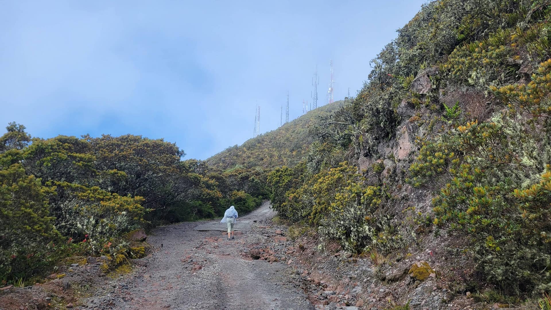
The Last Push for Volcán Barú - 8 km to the Summit
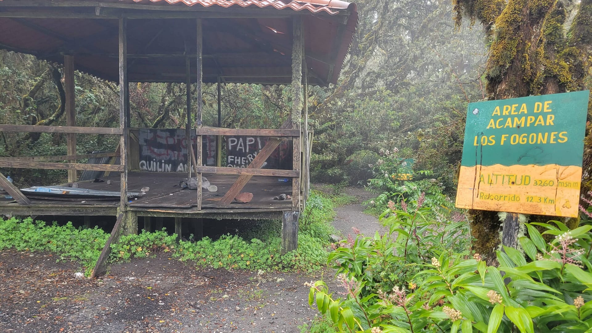
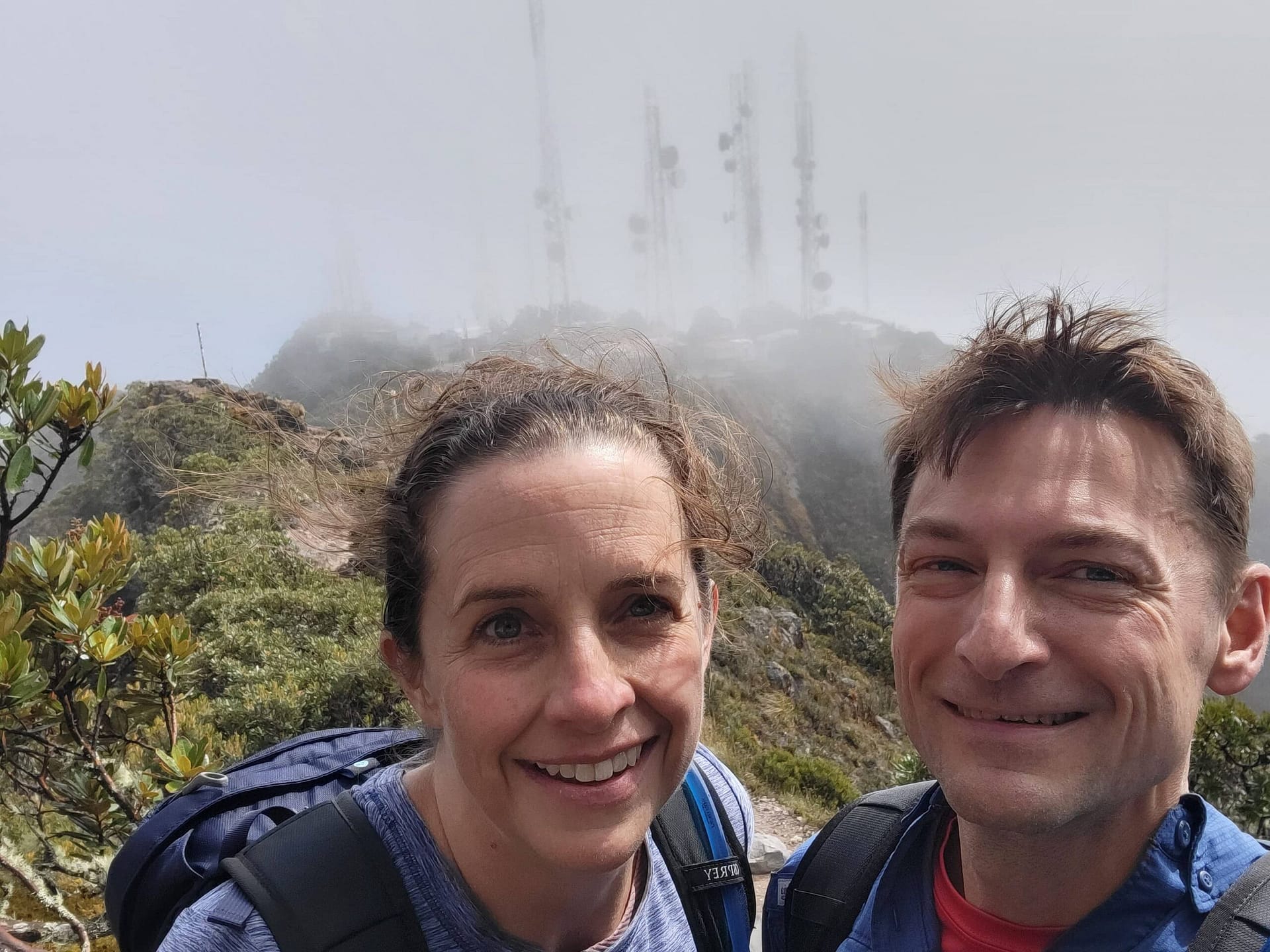
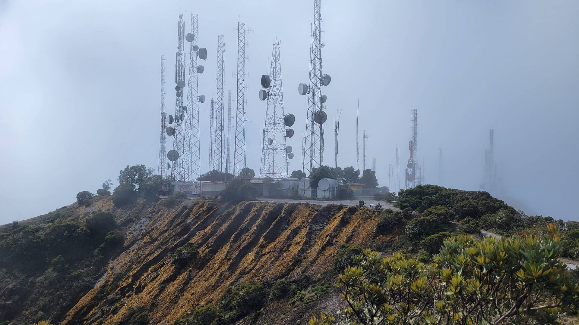
Beyond 8 km you are fully into the rainforest. The day we hiked was full of sun, fog, and rain. This changed literally every 3-5 minutes as the clouds raced up the mountain. The hike isn’t too hard now, certainly not as bad as earlier sections. Plus, you are energized first by seeing the overnight camping area and next by the radio towers coming into view.
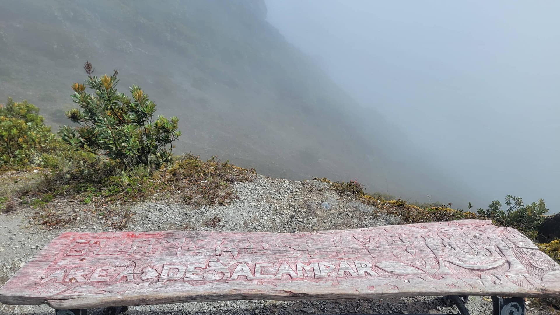
Yes, you can camp on Volcán Barú if you wish.
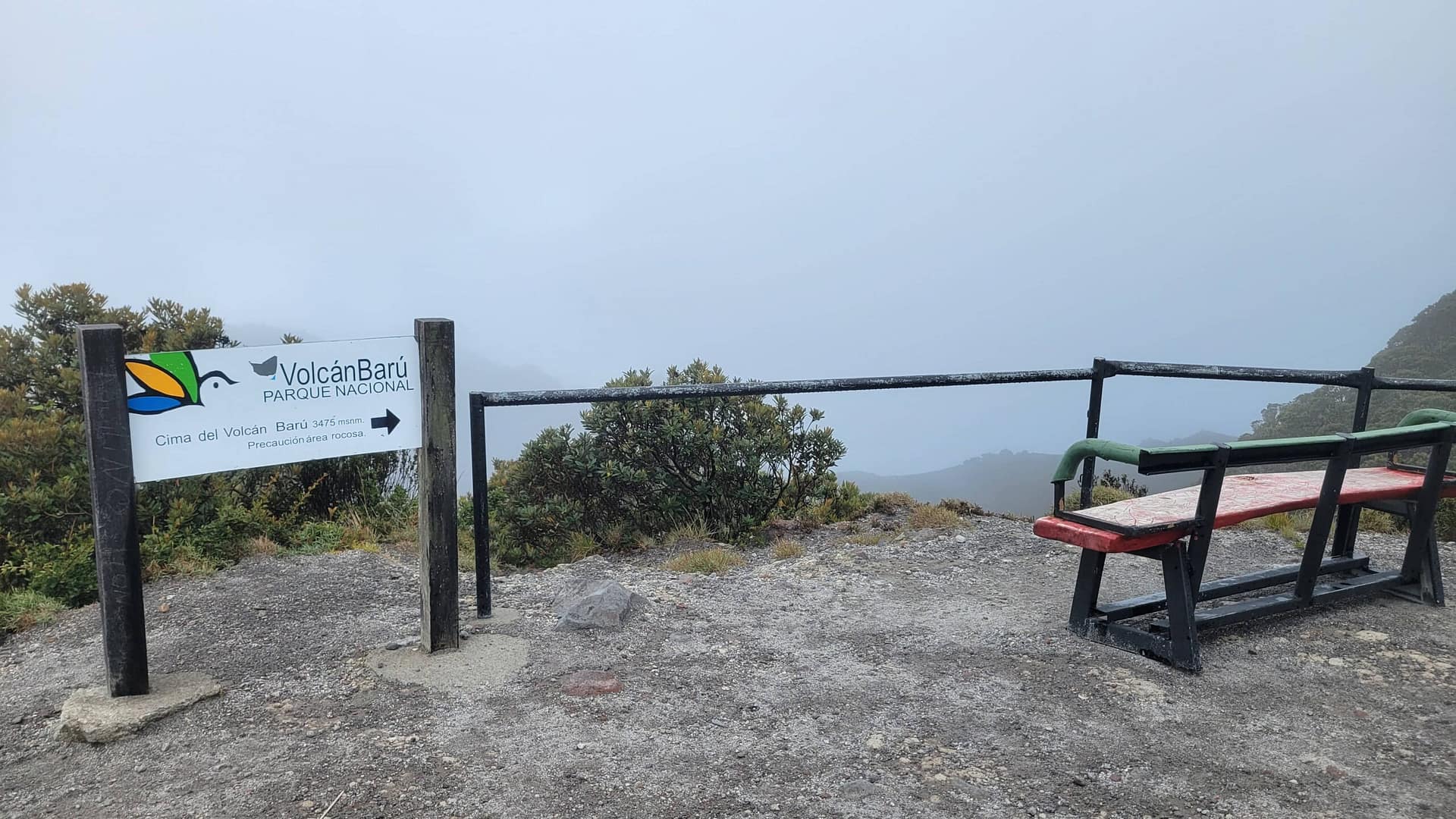
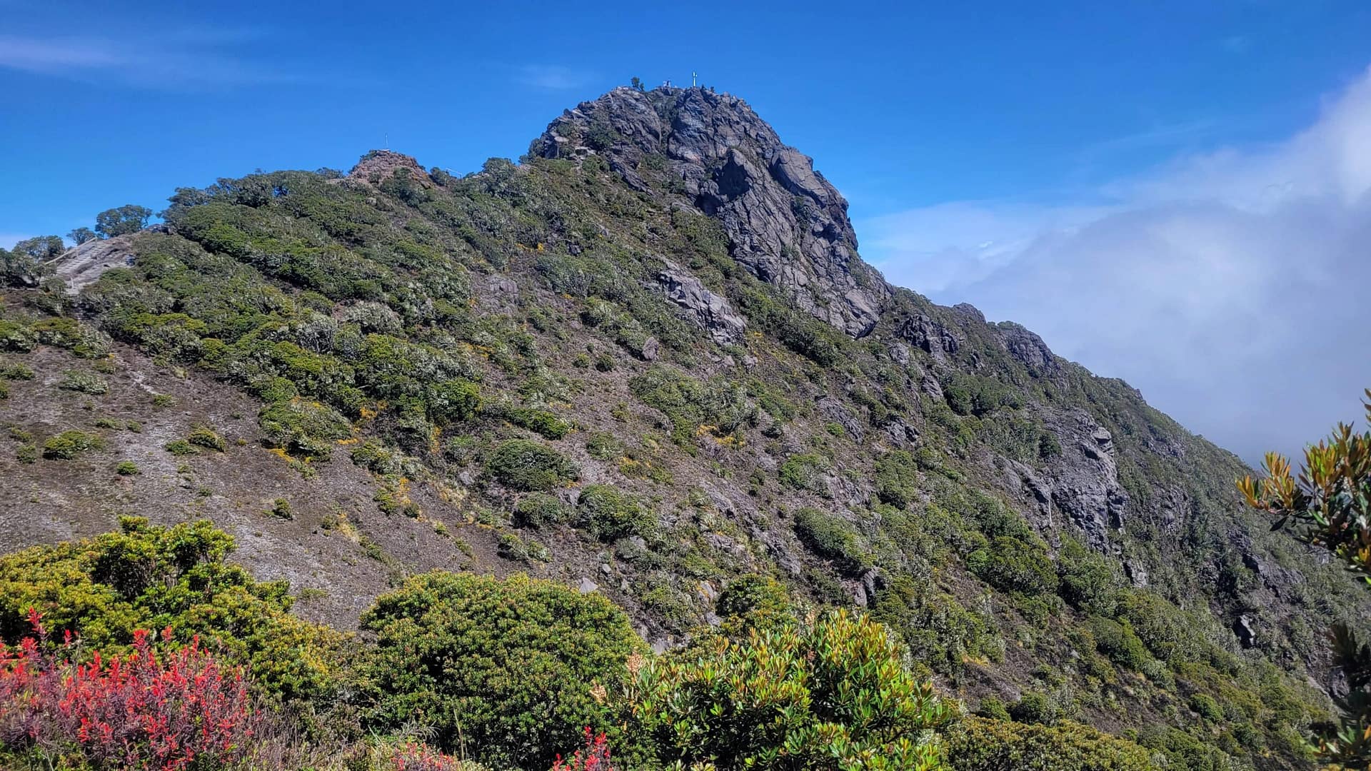
The Summit of Volcán Barú
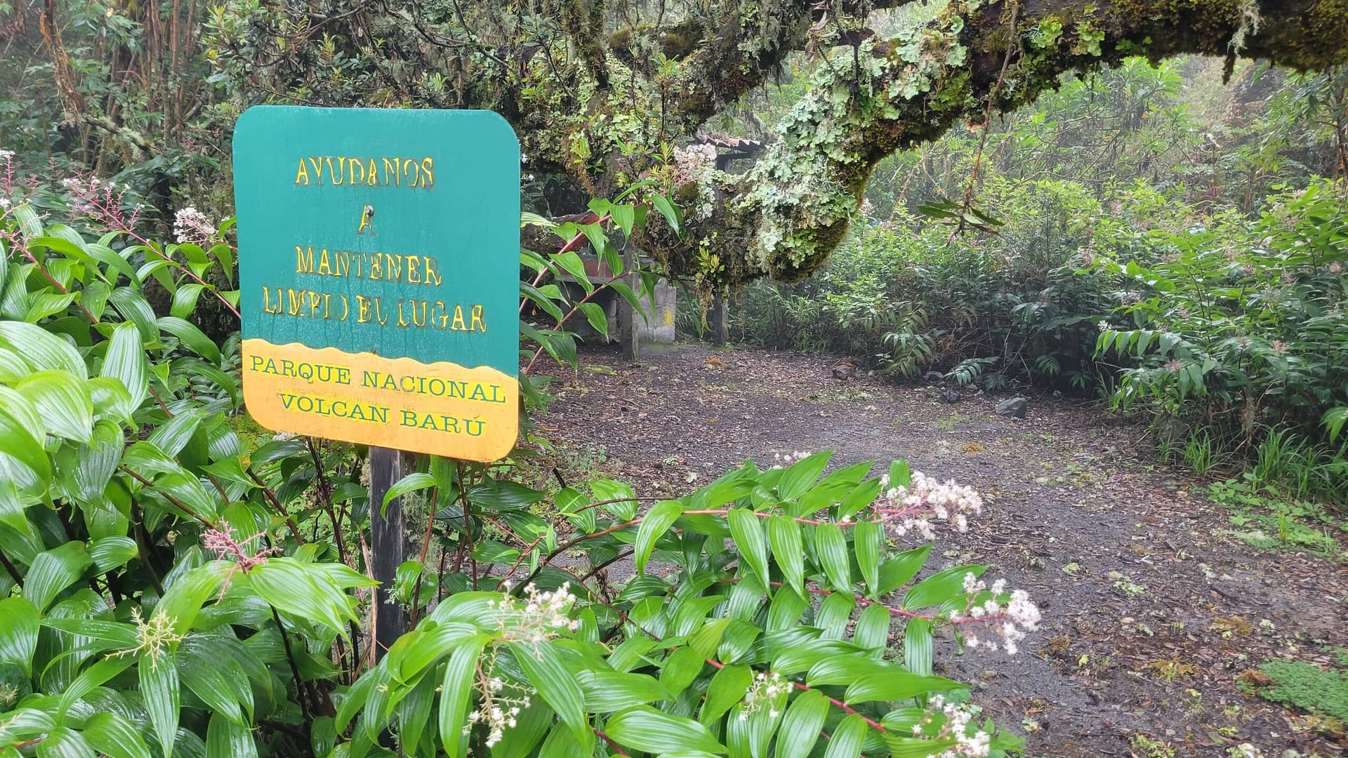
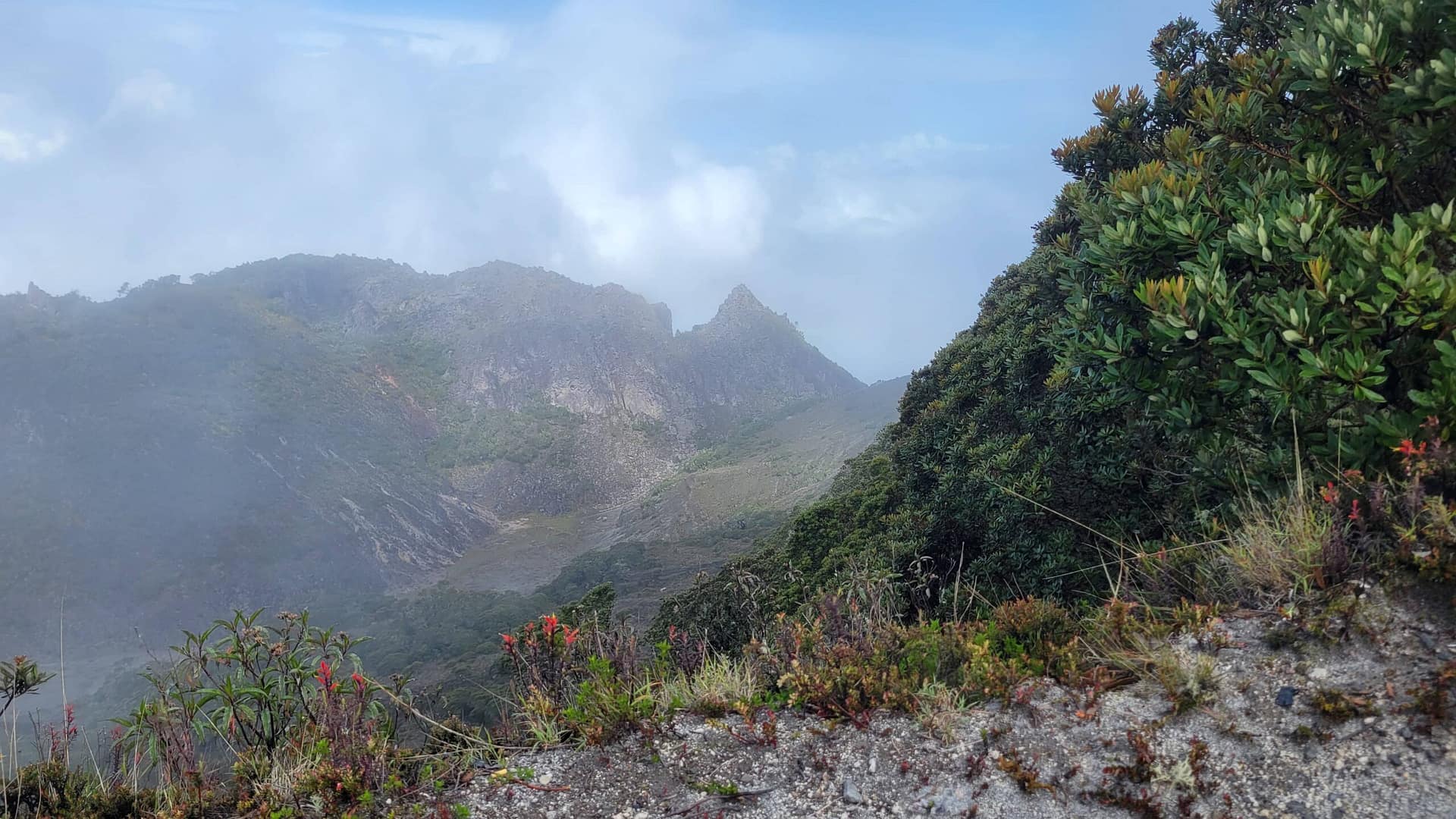
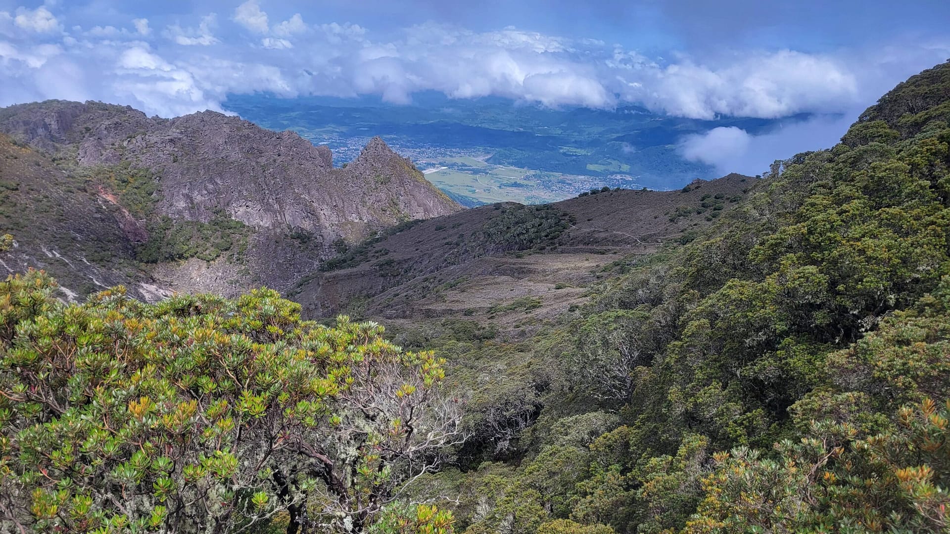
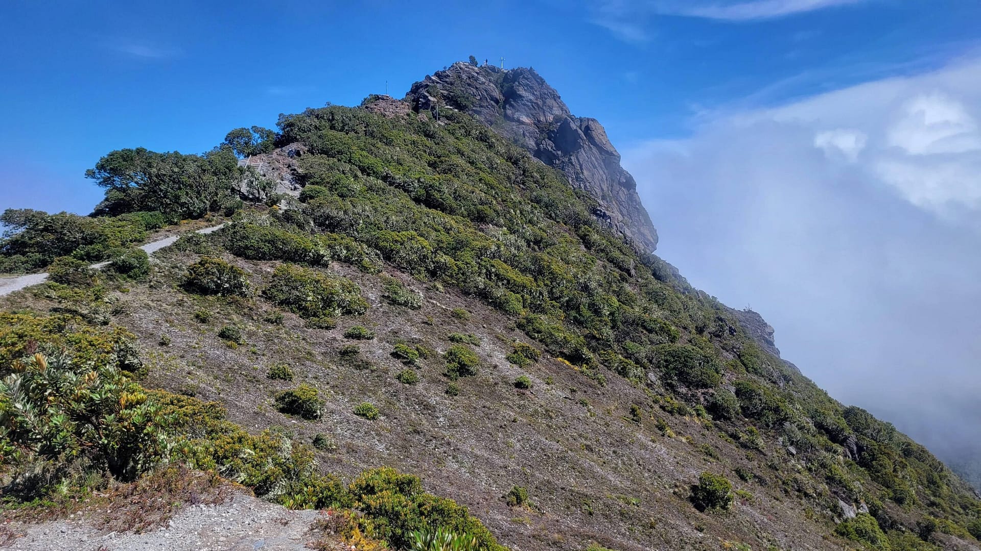
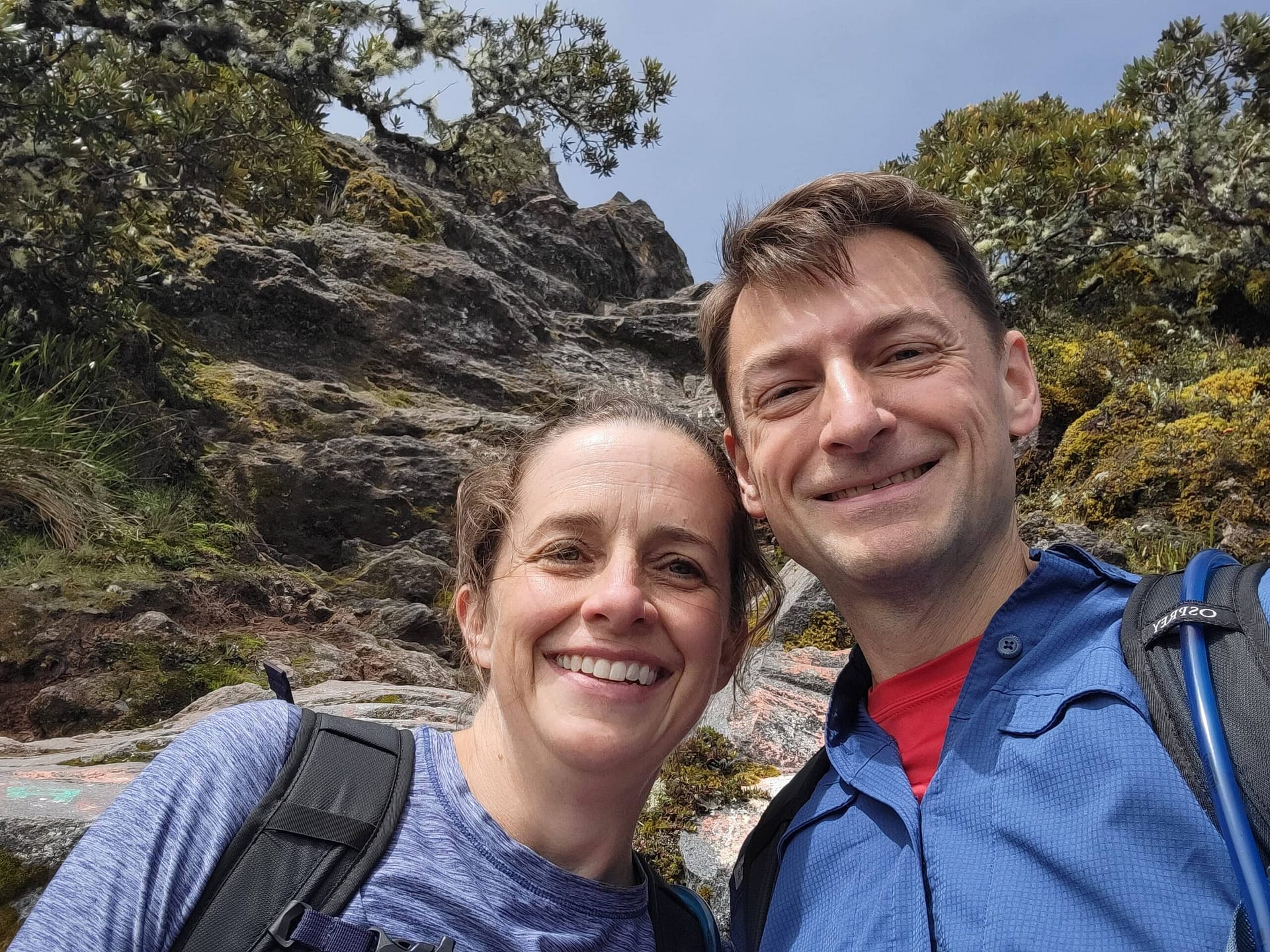
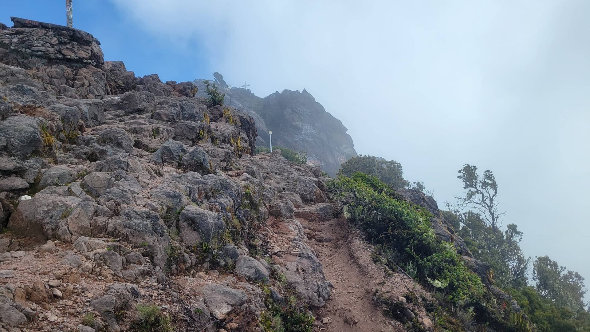
Once you hit the summit you are greeted with signs welcoming you to the top, benches facing the Atlantic and Pacific Oceans, and side trails down to the crater and up to the cross. It’s a great opportunity (weather permitting) to bask in the accomplishment and, if desired, hiking down to the crater or climbing up to the cross. Our goal was the summit itself so we were fine skipping the crater.
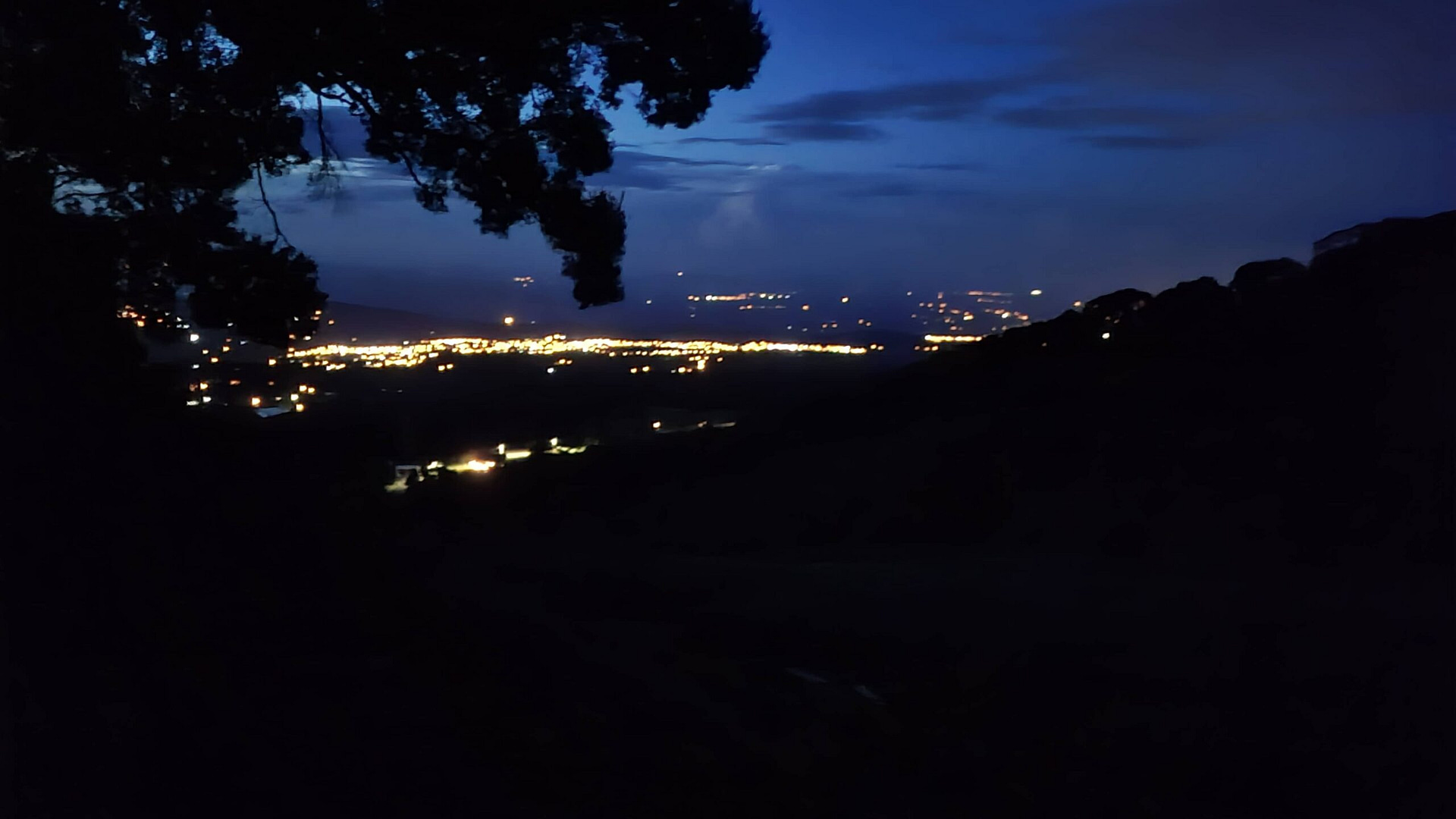
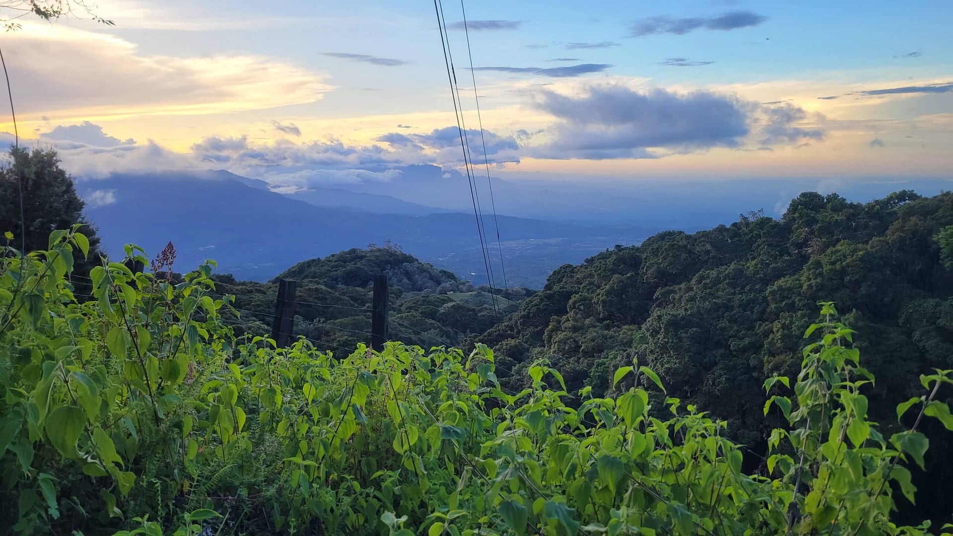
The cross was another matter – it would have been nice to do so. However, the climb to the cross really is a climb. Think bouldering up about 100 feet with no mats below. We decided the risk just didn’t make sense. Instead, we took some our time looking around. During our stay on the summit of Volcán Barú the views were constantly changing. Clouds ascended the mountain from the North (Atlatic Ocean side) in cold gusts. Some of them made it around the mountain, filling in the view to the West and South. Thankfully, there were breaks allowing amazing views of the town of Volcán and the Pacific Ocean to the South.
Hiking Back Down
Your mileage may vary on this one. Both in terms of speed and weather. We’re slower going downhill than uphill. Clearly there are lots of loose rock and gravel. On our hike back we had a mix of rain and clouds for the first half, gradually giving way to part and eventually full sun the closer to the bottom. It was downright hot when we finally got back to the visitor station and signed out. Total time, including stops was 10 hours and 24 minutes with an elevation gain of 6,250 feet and 17.11 miles — all according to AllTrails.
Getting Back to Boquete from Volcán Barú
Our biggest worry, after the hike itself, was how we were getting back to town. We had previously done a coffee tour at Finca Dos Jefes and they were kind enough to offer to call us a taxi if needed. A number of posts talked about taxis and buses traveling this road. So we were worried, but not too much. Worst case it was a 45 min walk to Finca Dos Jefes.
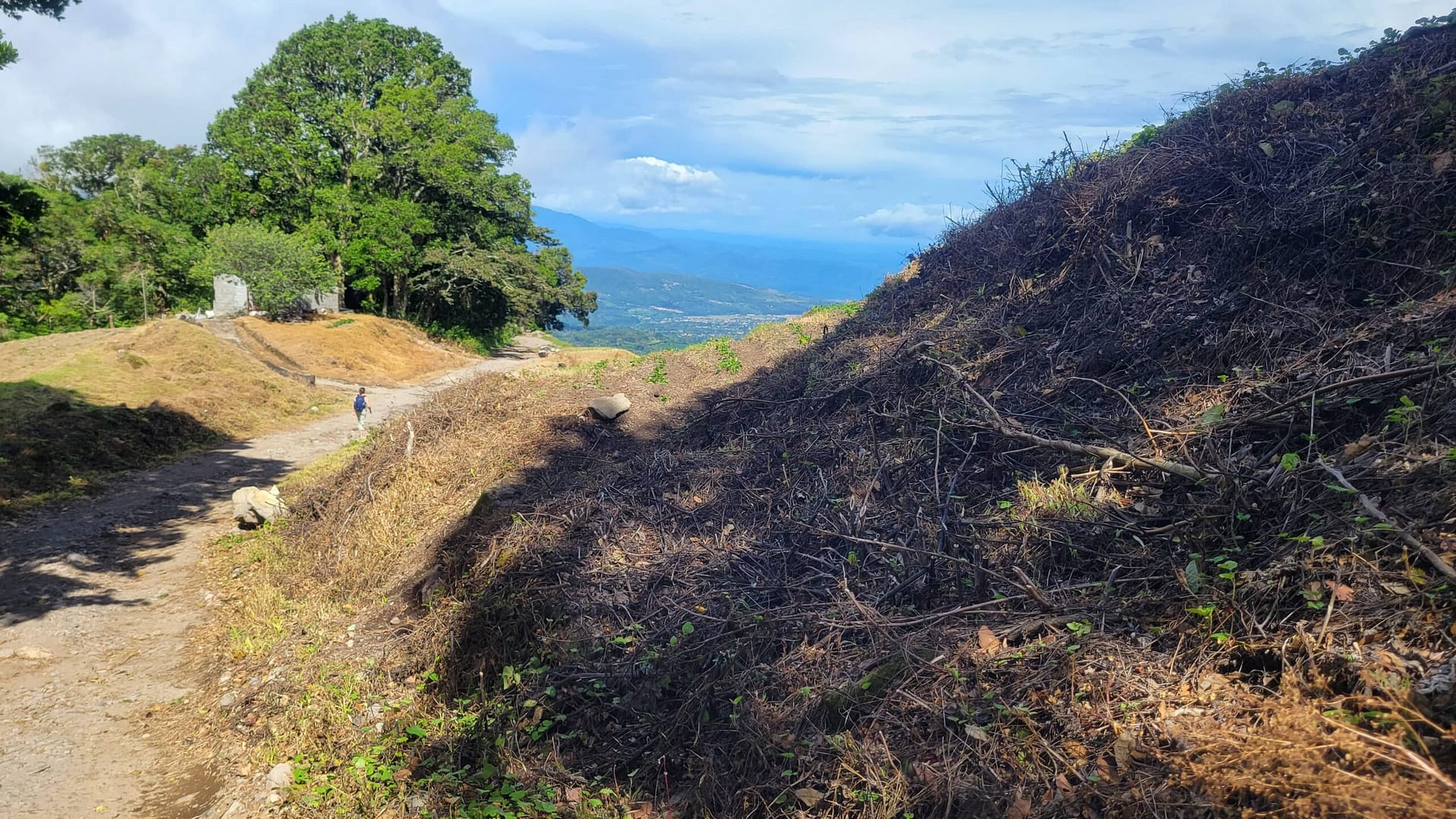
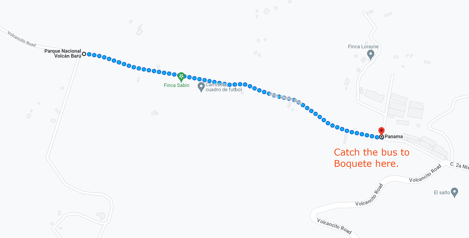
Well, we finished the hike and realized it starts at the end of the road. There are no taxi’s just wandering by. So we started walking and tried to figure out what to do (we don’t speak Spanish well enough to call a taxi and none were replying to text message). About 15 minutes down the road we happened upon a bus headed towards us — a small white mini-van — and the driver called out the window to us. “Boquete?”, he called. “Si” we replied enthusiastically and jumped in. He turned around at the next turn off and headed back. See the map below for where this bus turns around. Thankfully, $3/each, which is probably far more than locals pay, and we were whisked back to town, a block or so away from Domingo Medico Park.
Parting Thoughts on Volcán Barú
Finally a few parting thoughts on the hike:
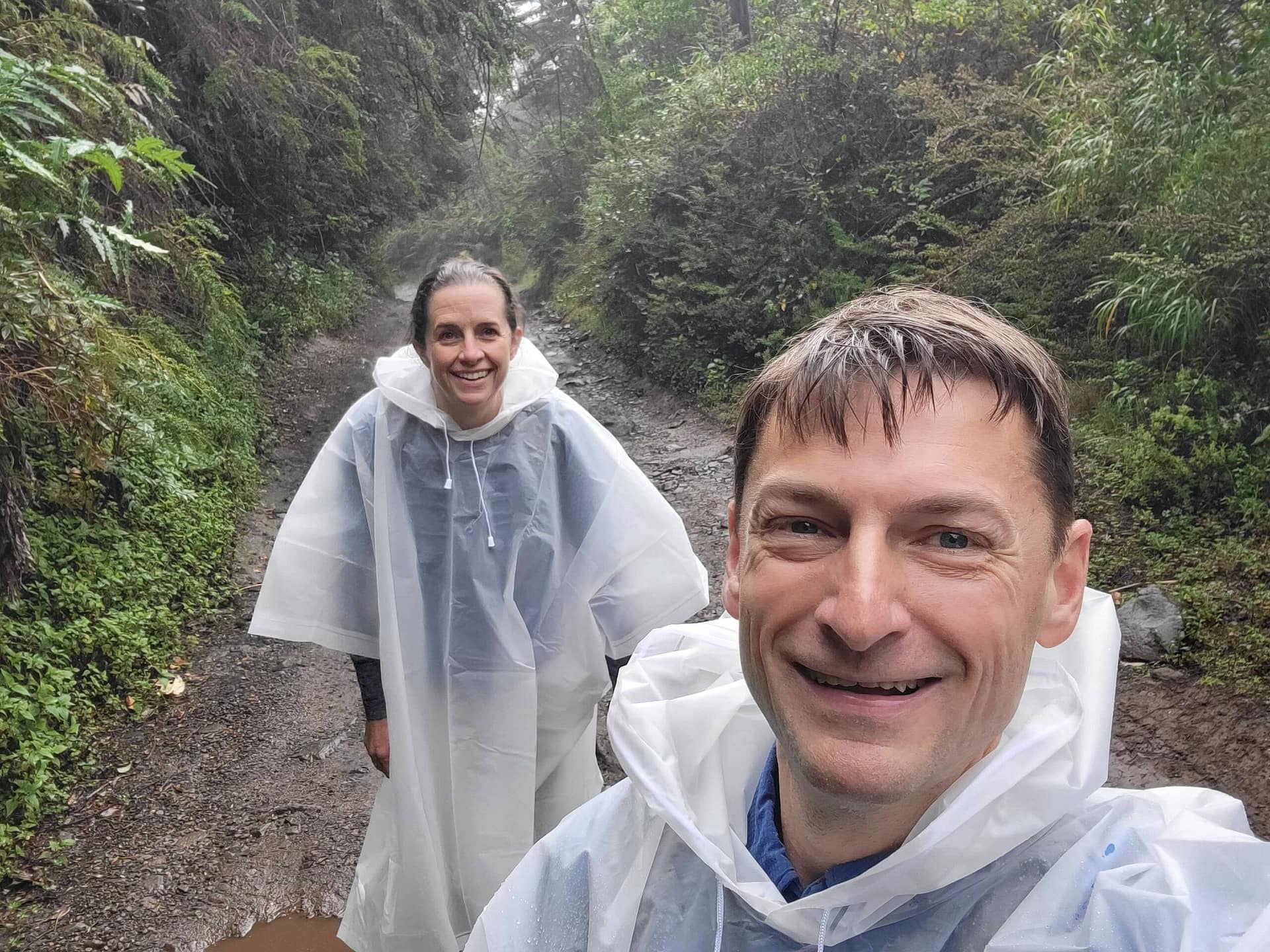
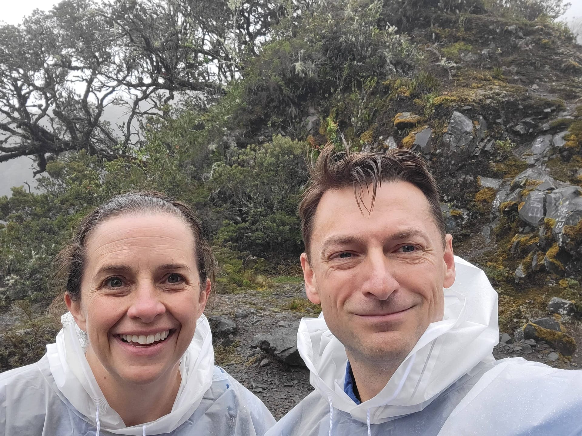
Bring a poncho. They seemed a bit silly when we were preparing, but when you enter the rainforest you will find it raining one minute and sunny the next. Having a poncho was so much easier to get on and off than a rain jacket would have been. Plus, it covers your pack and adds a layer of insulation for warmth.
Make sure you have water. We had about 5 liters each. While that was too much for this day, just a bit more sun and fewer rains, especially on the ascent, would have driven our needs higher. During our hike we had a low temp at the bottom about 68, high in the 80’s and full sun when we got back. The temp at the top ranged from about 40 to 55 varying greatly from minute to minute.
Bring small bills. You will probably have the most luck with the bus back to town. Don’t let them see larger bills or you will likely be charged like a foreigner. I think we still were, but $6 for a ride back to town was well worth it.
Don’t forget your passport. They require identification and for foreigners that’s a passport. Panama is one of those odd countries where you are supposed to have your original with you at all times. We stuck ours in a ziplock bag just in case we got caught in a torrential downpour.
A bit of advance training will make the trip more fun. We felt great for almost all of the hike. We were only slightly tired/sore at the end. The next day, by and large, we felt really good too. We credit this to several months of weekend hikes on the Appalachian trail with weighted packs starting in February. We also did barbell lunges, barbell box step ups, and stair climbing intervals each week. We took inspiration from the Training for Trekking Podcast from Summit Strength (they will do personalized training too!). We probably could have done the hike without the training but boy did it make the hike more enjoyable!
Take your best guess on weather and go for it. We used a mix of Mountain Forecast, Weather Underground, and AccuWeather. This was mainly to avoid days with notably worse forecasts if possible. But locals told us they don’t bother with weather forecasts – they just prepare for rain and thunderstorms at anytime.
Take your time and enjoy the experience. The full hike is worth the effort as well as the view from the top.